Just a quick rehash so I can put more location pins on the map.
We were anchored on the west side of Great Guana Cay in the Exumas watching this every night:
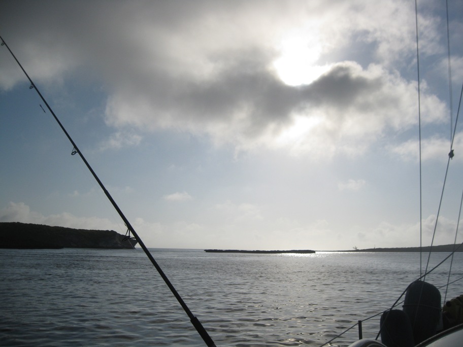
In the Bahamas the prevailing winds are from the east, or some component of east, so we try to stay to the west side of the islands for protection. The body of water to the west is called the Exuma Banks and they are shallow, generally less than 15 feet deep. The water to the east is called the Exuma Sound and can be thousands of feet deep. When we pass from one side to the other we have to go through a “cut” which has to be timed right. If a strong wind opposes the current in the cut the surface of the water can get quite rough. When conditions get really bad they call it a “rage” and it can last for days. From Great Guana we had to leave the protection of the west, and head east out into the Exuma Sound, then south in order to get to Georgetown. Once the winds subsided we timed our passage through Galliot Cut. Light wind and current in the same direction made for a very smooth trip as we squeeze through the cut:
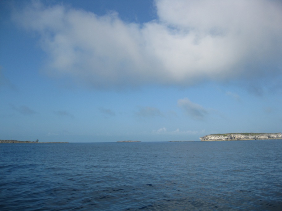
Then 40 miles south we headed into Conch Cay Cut, again a smooth trip:
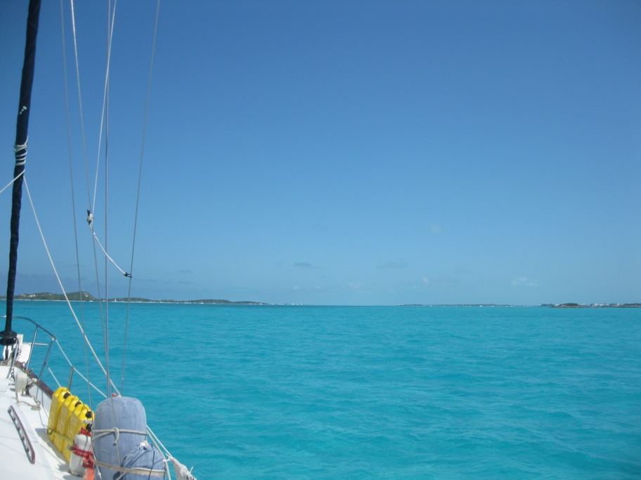
And into Elizabeth Harbour which is actually about 11 miles long. Sailboats dotting the shoreline ahead:
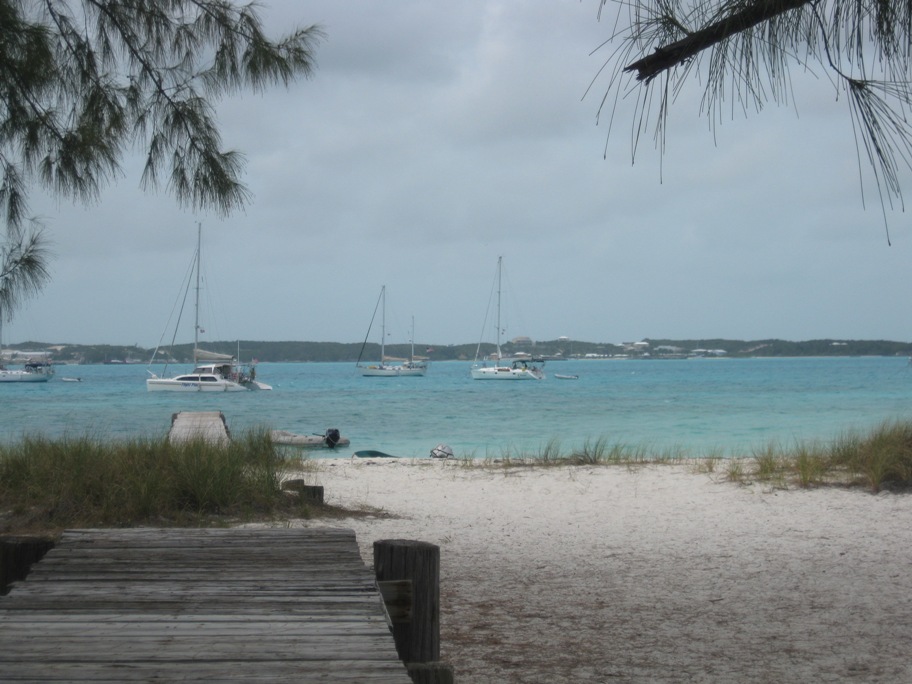
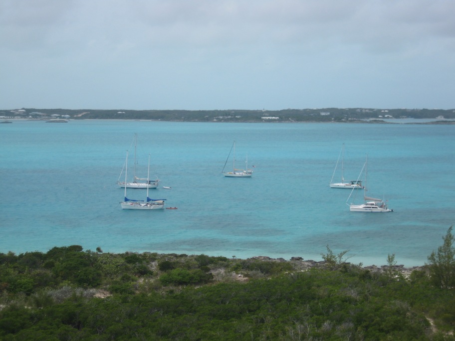
Dea Latis at anchor off of hamburger beach, second from the right:
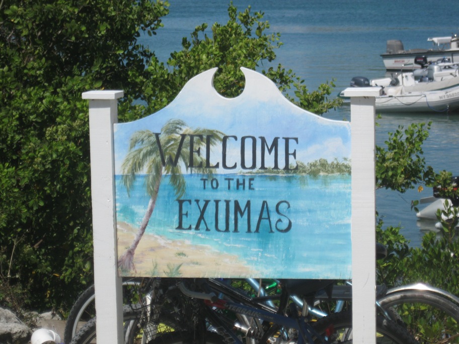
We took the dinghy across the harbor into Lake Victoria to check out the town. The supermarket in town has a dock in the lake for everyone to use. Welcome:
Another shot of Dea Latis, middle of the five boats:
We have been visiting with Tanya’s aunt and uncle for the past week, so when I get those pictures sorted out I will update again…


