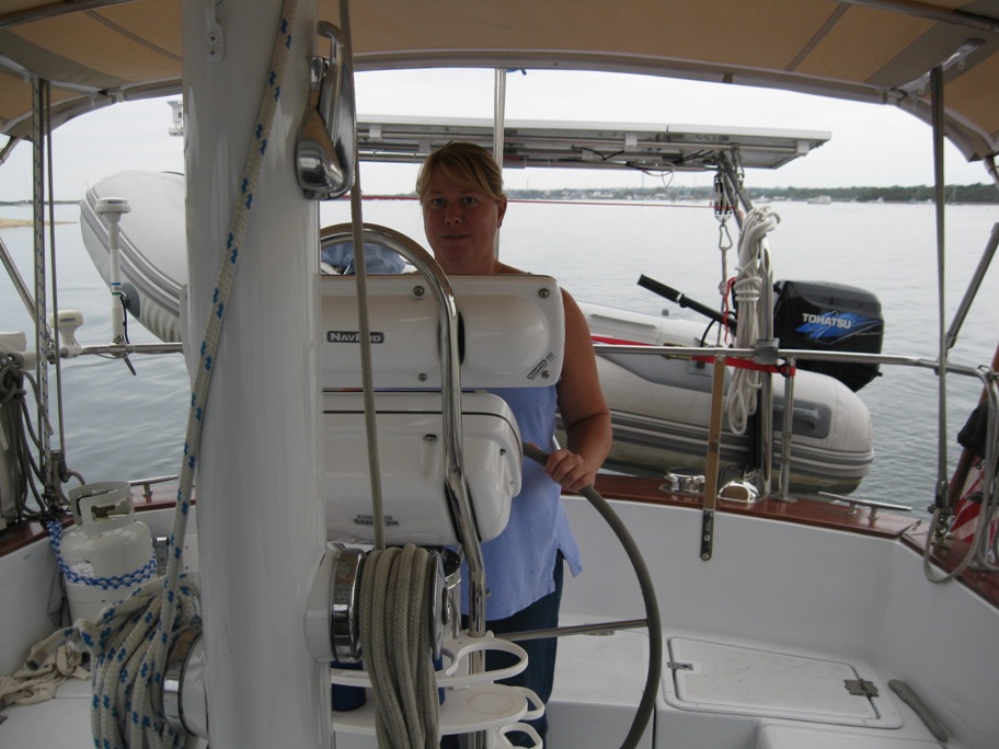
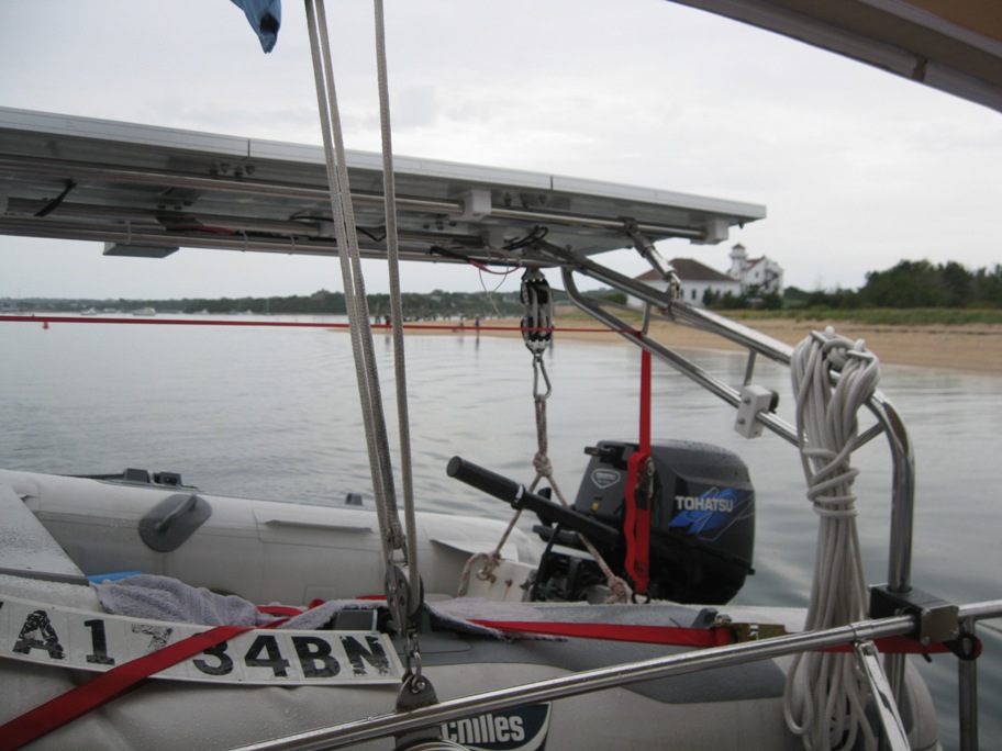
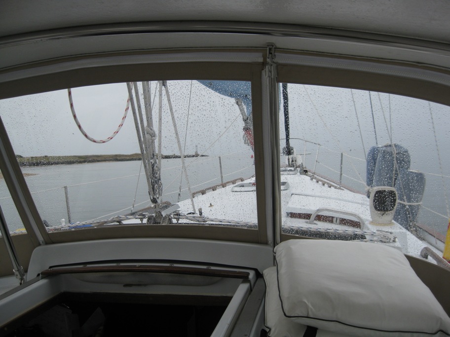
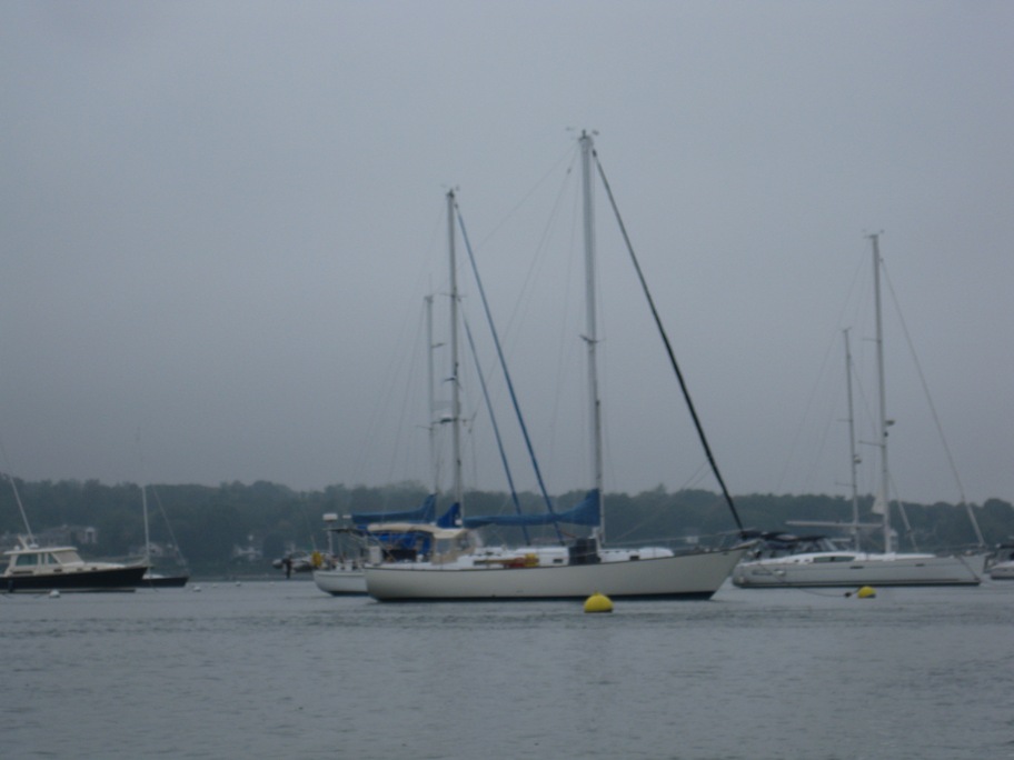
We arrived in Atlantic City just as the rain started and have anchored off Rum Point for the night. We’ll be heading to Cape May tomorrow morning so will have more details and some pictures then!
Another Leg
We’re off on another leg of our journey south. We are leaving Atlantic Highlands for Atlantic City in about an hour (2300, 6 Oct 2012). We should be there by 1300 Sunday. Strong north winds so we should be able to fly. We have got into a group of about five other boats from Maine and New Hampshire, super people. We don’t always move exactly as a group but we we always end up in the same anchorage. They have all decided to wait until morning to depart which puts them in Atlantic City right around sunset. We want to enter Atlantic City on a high tide during daylight so we can get into a tight protected anchorage and relax a bit. High tide there is early afternoon so we had to work backwards from that. Anyway…
Wifi was scarce here so we will update the site when we find a decent signal.
Atlantic Highlands NJ
We bypassed Great Kills for Atlantic Highlands, south of Sandy Hook NJ. We’re at anchor just inside the breakwater. We’re going to check the weather report and decide when and where to go from here. Update soon. As always you can click on the map tab and zoom in to see where we are.
Plans and Pictures
We have been relaxing here in Port Washington for almost two days so it’s time to move on. It’s hard to leave a place that is so welcoming to transient boaters. There are 20 town moorings here, free for 48 hours then $20 per night afterwards, and that’s cheap! The Harbor Master is friendly and helpful, there is easy access to town with restaurants and shopping, there is a West Marine, free pump out and water, access to fuel, and a rigidly enforced no-wake harbor which makes the mooring area very peaceful. And because we were not dumping money into expensive moorings or dock space, we were able to spend more in town buying groceries and eating out! We had some great Chinese take-out a couple nights ago and we ate at a nice Italian restaurant last night. That is just a few of the features of this town that make it very inviting and difficult to leave.
Buuuut it’s still a bit cool for us and we know warmer weather and clear waters await south of here! Winds are forecast out of the North, off and on, for the next few days which is exactly what we need to make southerly progress.
We are planning to transit the East River down to NY harbor today, spend a day in Great Kills Harbor on Staten Island, then head down the New Jersey coast to Atlantic City, then Cape May. Rough plan is to be heading up the Delaware River and through the C&D canal on the 9th, spend the night in Chesapeake City, down the Chesapeake Bay, up the Potomac River to visit my Daughter and friends, then rocket south via the Intracoastal waterway as fast as we can (until it’s warm). That is the rough plan which is all subject to change and is at the mercy of the weather. We’ll update as wifi signals allow! Supposed to be sunny and near 80 here today!!!!
Pics… Departing Block Island RI:
US Coast Guard Station Block Island RI. (That’s got to be rough duty) White buildings on the right:
Entering Port Washington on a foggy day:
We travelled from Block Island RI to the west end of Long Island NY, 18 hour trip over night, through Long Island Sound. We took three hour watches which enabled us to get some sleep and relax in between. Other than watching for traffic it can get a bit boring. So, being bored (while watching for traffic in the dark) I thought I would try and give you a glimpse of what we use and see while traveling through the night. Our radar broke a few days ago, and my nagging has not convinced Tanya that we should buy a new one (she wants to get the old one fixed), but we have other instruments that help us “see” in the night.
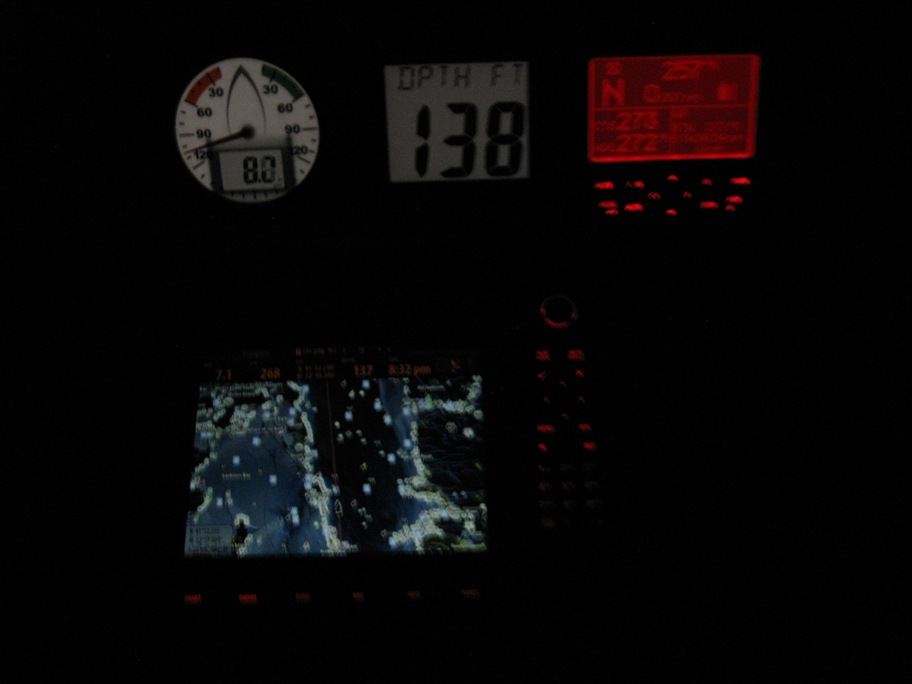
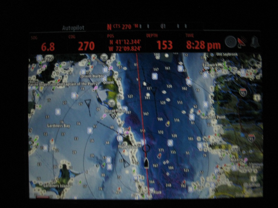
The pictures are pretty bad but it’s the best I can do at night on a rolling boat. This first one is at the helm (steering station). The top left is the wind instrument which tells us true and apparent wind direction and wind speed, so we can trim the sails and gain more boat speed.
Next is a generic instrument which can read many things (we keep it on depth most of the time) like water depth, engine parameters, battery voltage, temperature etc. It’s just a big numeric display that is easy to read and gives us a quick visual shot of information.
On the top right is our autopilot control which you may have guessed…controls the autopilot. When we travel we don’t stand at the wheel and steer the entire time, the auto pilot does that for us. This instrument allows us to control the autopilot to take us where we want to go. With the autopilot engaged we are able to keep visual watch for traffic, check our paper charts, use the vhf radio, trim the sails, eat, and do any manner of things we need to do while on watch, while keeping precisely on a set course (or a route with many points). The autopilot saves time and money (fuel if you’re motoring), allows you to focus on more important things and reduces your workload.
The larger instrument on the bottom is a chart plotter. Our Simrad chart plotter is similar to a gps navigator in your car. Instead of road maps our plotter has ocean maps which enable us to navigate from destination to destination. And all these instruments are networked together just like a computer network. One instrument can generally read relative information from another instrument, the plotter can read all the information from all the other instruments.
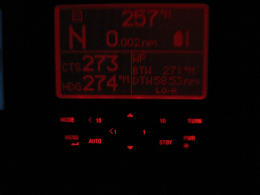
Below is a shot of the autopilot. Before we depart we set up a route on the chart plotter, from departure point to destination. The route has waypoints or points where we need to change course. Because the instruments are networked, when we depart we can tell the chart plotter to begin navigating our route, then the chart plotter tells the autopilot to steer the boat along the route changing course at each waypoint. On the bottom left of the screen you can see CTS or course to steer which is 273 degrees and our current heading with is one degree off (it bounces back and forth a bit when the boat rolls). On the bottom right is the WP or waypoint information from the route. The BTW or bearing to the next waypoint is 271 degrees but because of wind and current the autopilot needs to steer the boat in a slightly different direction (273) in order for us to arrive at that waypoint. Currently we are on the longest leg of the route. DTW or distance to waypoint is 58.53 nautical miles or about 64 statute miles or about 10 hours sailing. Yep, 10 hours staring into the darkness…
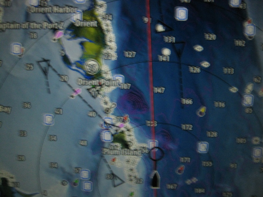
The picture below is our awesome chart plotter. The plotter reads everything on the network. You can see at the very top is the autopilot information which states the current CTS is 270 degrees. Down a bit to the left is SOG or speed over ground which is 6.8 knots or about 7.5 miles per hour. Next is COG or course over ground which is 270, our current latitude and longitude, depth of the water, current time, and three little symbols that tell us if there is a problem with radar, gps, or any alarms we may have set. Then there is the screen which is our ocean map. It’s a terrible picture but maybe you can see we are passing Plum Island, which is home to the animal disease center run by the Dept of Homeland Security and Dept of Agriculture, link: http://ars.usda.gov/main/site_main.htm?modecode=19-40-00-00 or http://en.wikipedia.org/wiki/Plum_Island_(New_York)
Also on the screen is a bunch of black triangles. Another instrument we have that runs in the background is AIS or automatic identification system. You can read about it here:
http://en.wikipedia.org/wiki/Automatic_Identification_System
…but in a nutshell, all (most) commercial ships have to have an AIS transmitter which transmits their information to other ships or shore stations in order to avoid collisions. All those triangles on our screen are commercial ships and the triangles move in real time based on the transmitted signals.
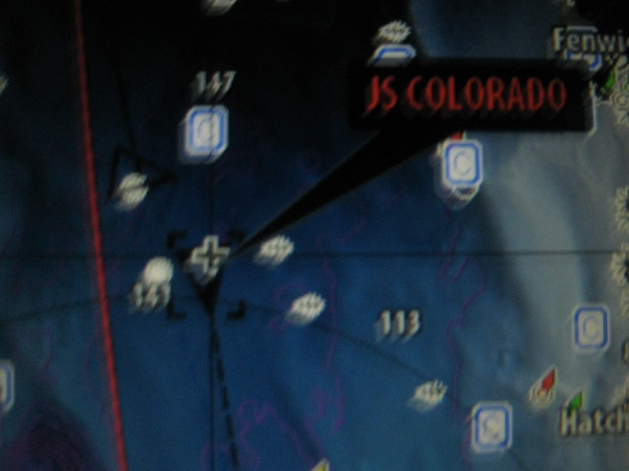
Here is the cargo ship Colorado:
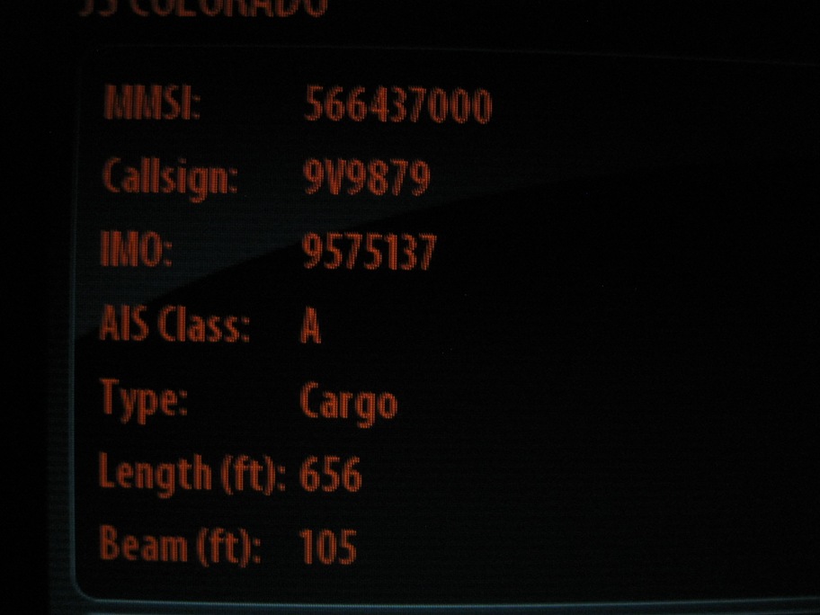
When I put the pointer over the little triangle I can read everything about this oncoming cargo ship, 656 feet long and 105 feet wide:
More ship info here: http://www.marinetraffic.com/ais/shipdetails.aspx?MMSI=566437000
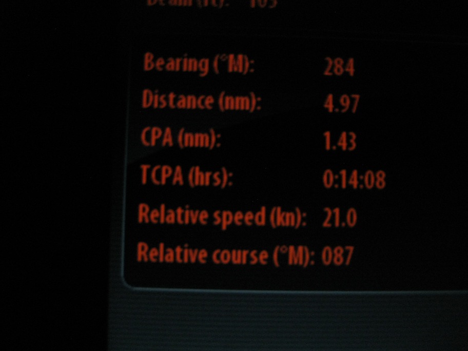
Relative speed of 21 knots. Relative speed is their speed plus our speed because we are heading in opposite directions.
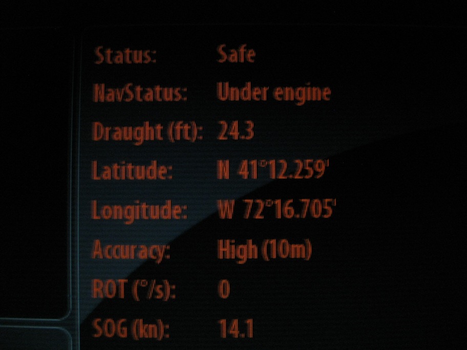
We are headed west, they are headed east but we are “safe” because we are not on a collision course:
AIS even tells us the other ship’s destination and when they are expected to arrive. With our radar down at the moment, AIS is a real help. AIS doesn’t replace radar by a long shot but is a great complement and nav aid for us:
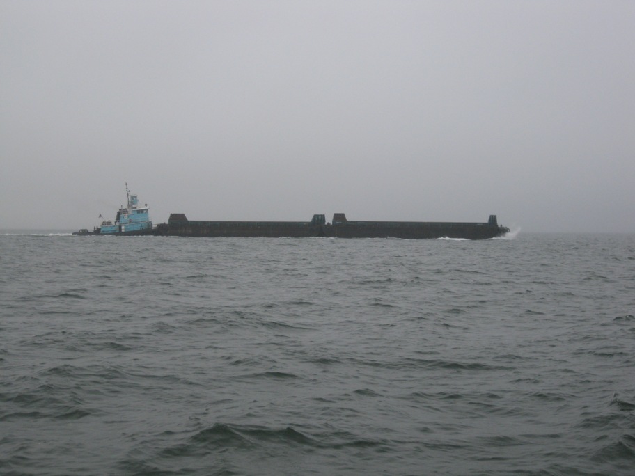
Here is a shot of some smaller traffic we encountered on the sound:
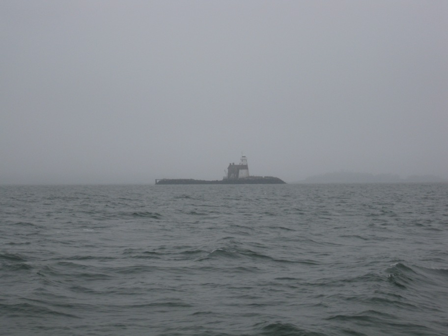
This is Execution Rock Lighthouse. “It is rumored that the lighthouse’s site got its name before the American Revolutionary War when British colonial authorities executed people by chaining them to the rocks at low tide, allowing the rising water to drown them. Though the rumors are true, the name for this island was actually chosen to reflect the historically dangerous shipping area created by the rocks’ exposure during low tides”
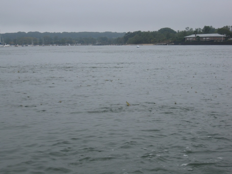
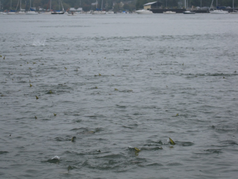
If you look closely you may be able to see the fish at the surface of the water here in Port Washington. There are thousands of fish everywhere:
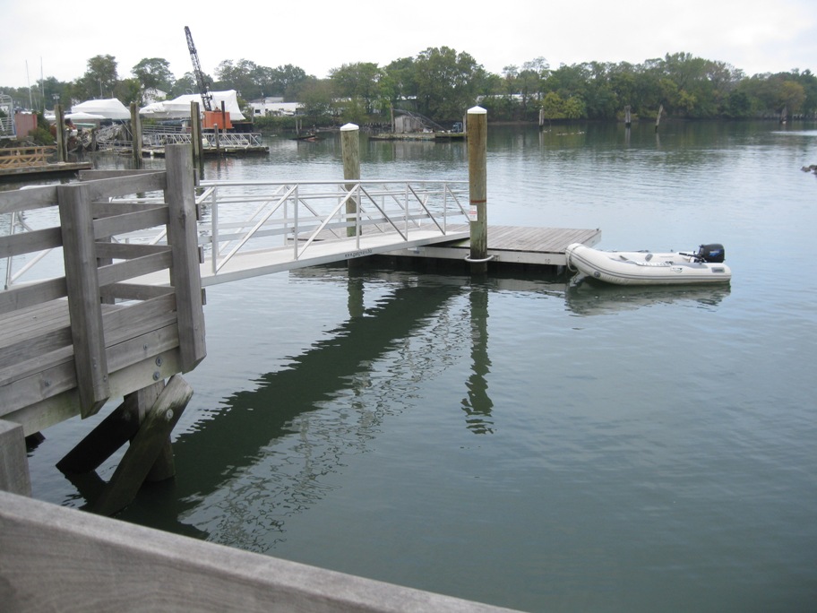
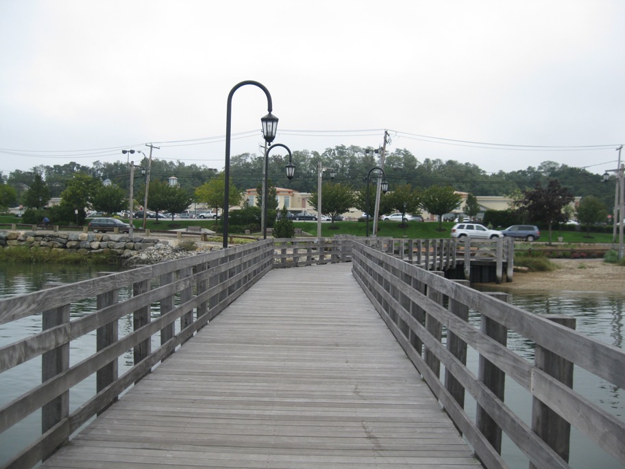
Dinghy dock on the north town pier right across the street from Stop n Shop:
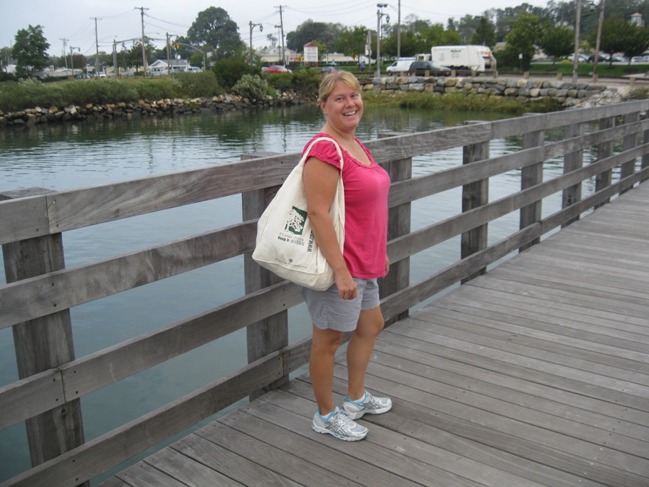
Smiling more than when we were grinding the paint off the bottom of the boat:
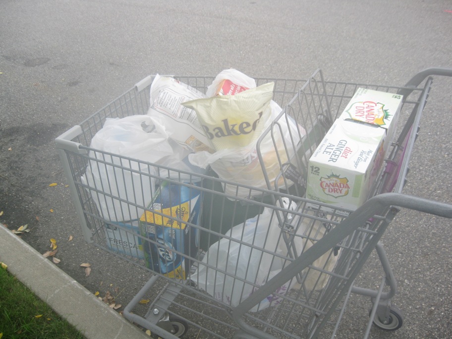
The important things like chips and beer:
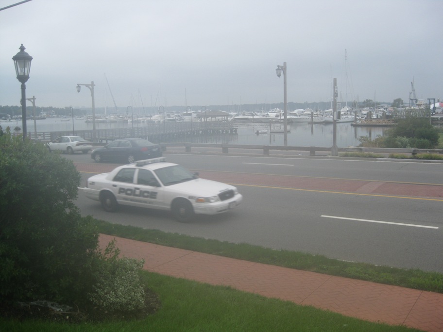
Just before jay walking across a busy four lane road:
Home:
We’re departing here in a couple of hours so we can catch a favorable current down the East River and into New York Harbor. It’s sunny and warm today! We will update when we can.
Port Washington
We’ve arrived at Port Washington on the north west end of Long Island. Going to grab some breakfast and sleep.
You can click on the map tab and zoom in to see where we are…

