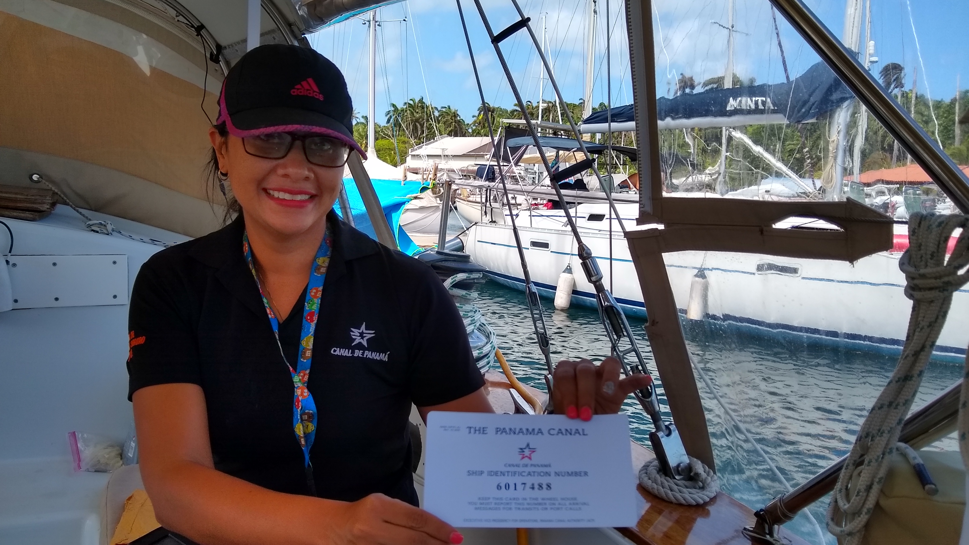
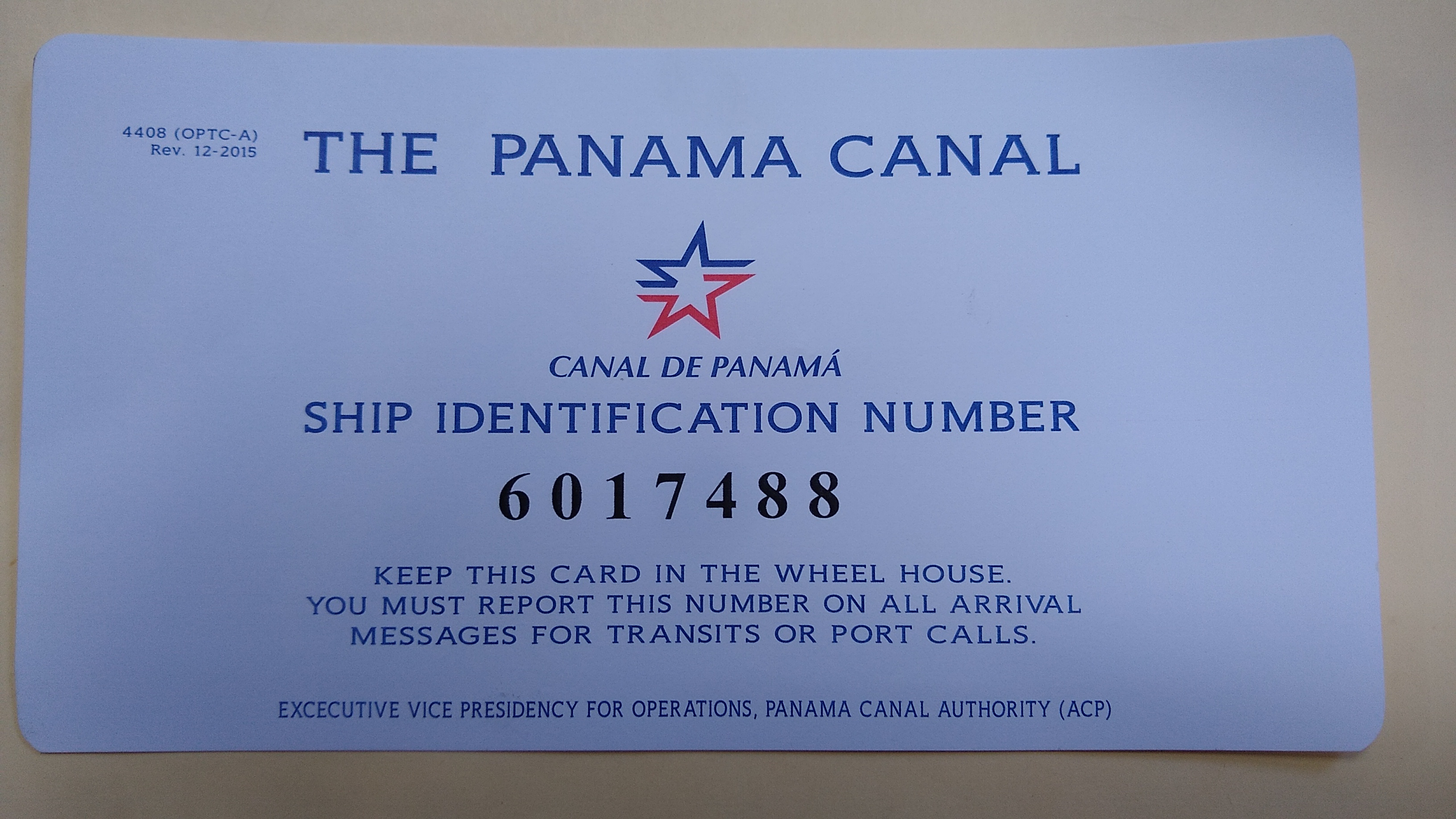
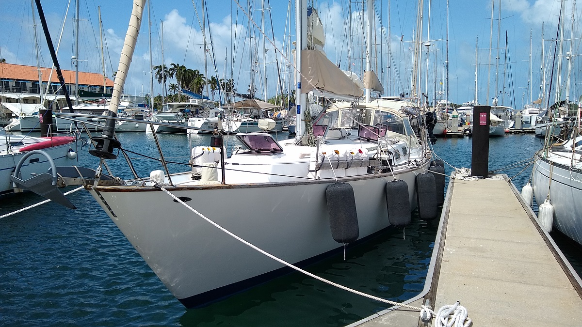
The Panama Canal Authority Admeasurer just finished inspecting our boat! We passed the inspection and we were issued our ship identification number, which is good forever.
Now we’re just waiting on a transit date!

|
You are using an insecure version of your web browser. Please update your browser!
Using an outdated browser makes your computer unsafe. For a safer, faster, more enjoyable user experience, please update your browser today or try a newer browser.
|
|
We're Underway! |
The Panama Canal Authority Admeasurer just finished inspecting our boat! We passed the inspection and we were issued our ship identification number, which is good forever.
Now we’re just waiting on a transit date!
Just back from our practice canal transit!
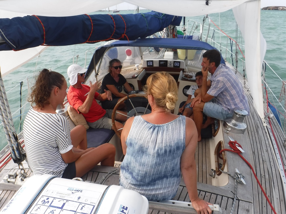
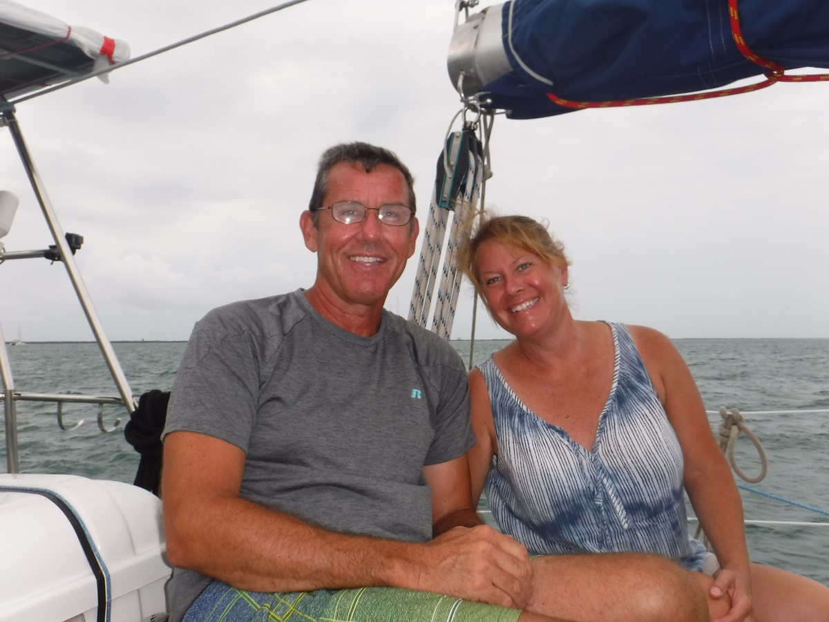
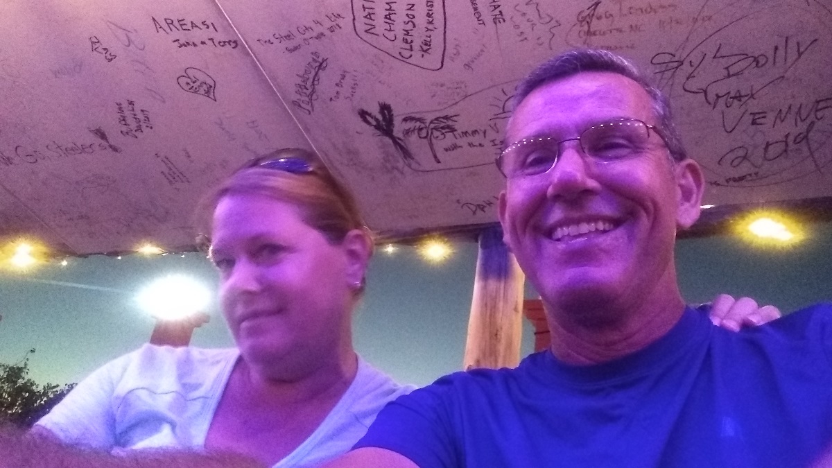
We spent the last couple of days line handling on another boat through the Panama Canal. We had a great trip, learned a lot, and now feel much more comfortable about our upcoming transit. Tibby, Claudia and family were amazing hosts! Not only was the company wonderful but there was lots of food and it was deeeelicious!!! We meet the nicest people out here!
The trip through the canal started late in the afternoon, moored in Gatun Lake around 8pm, resumed around 7AM the next day and finished up in the Pacific Ocean around 2pm. After anchoring on the Pacific side we ate an amazing lunch, said our good-byes, then took a cab back to Shelter Bay Marina.
click on the pics for a full screen view!
Departing SBM:
Headed out to anchorage H, gloomy rainy day:
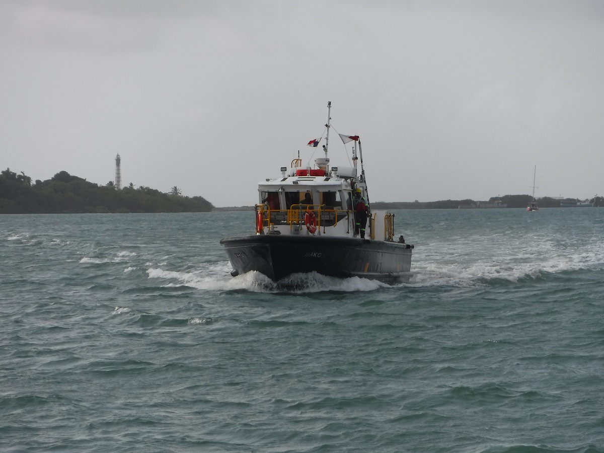
We sat in the anchorage for a few hours waiting on the pilot boat to deliver our advisor:
Pilot boat arrived around 5pm:
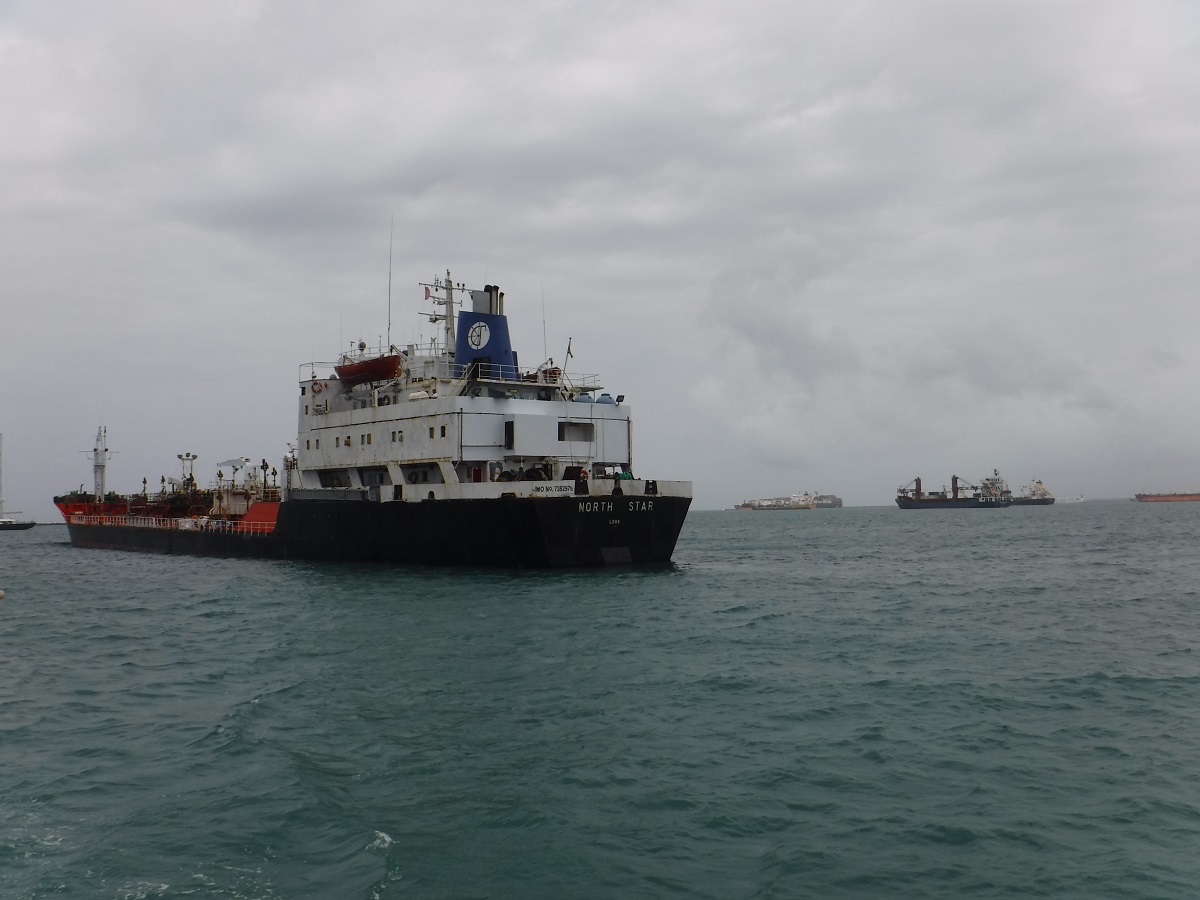
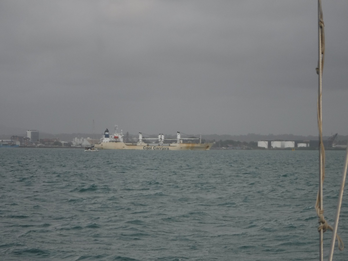
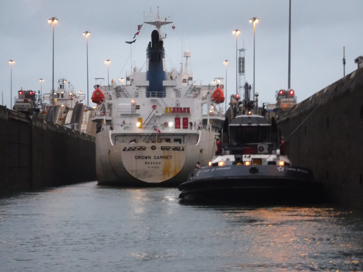
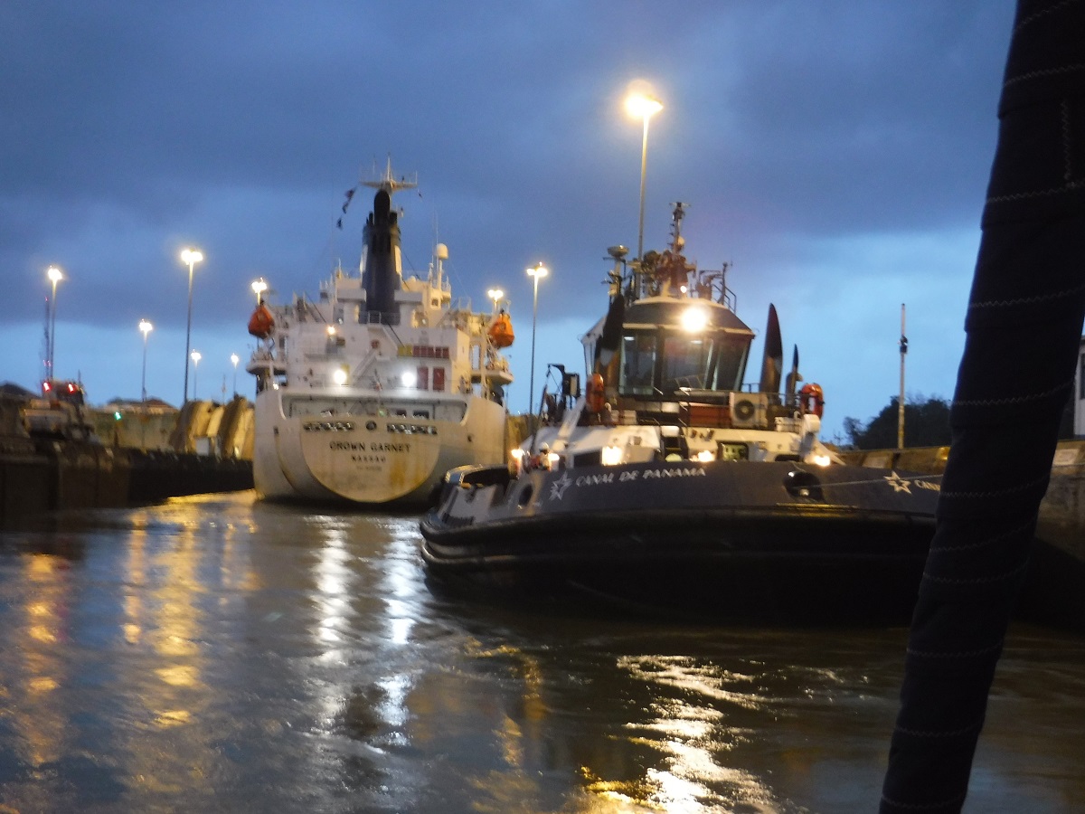
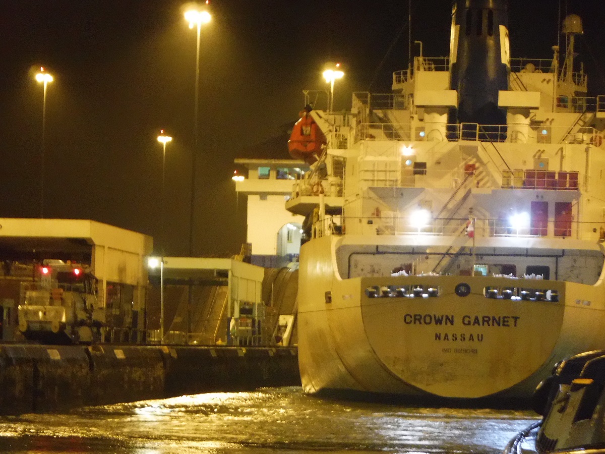
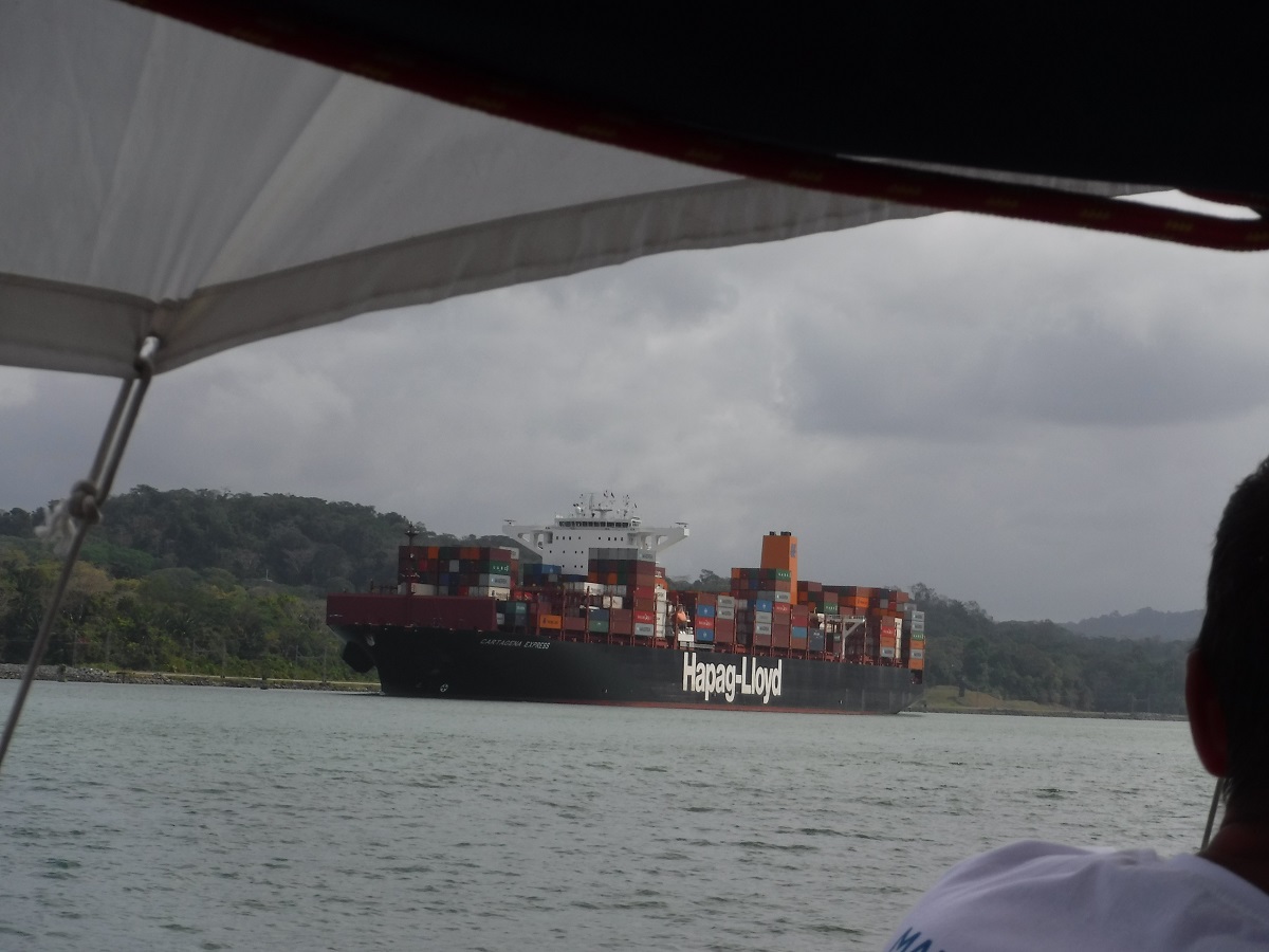
The advisor told us we would be going through the locks with this cargo ship:
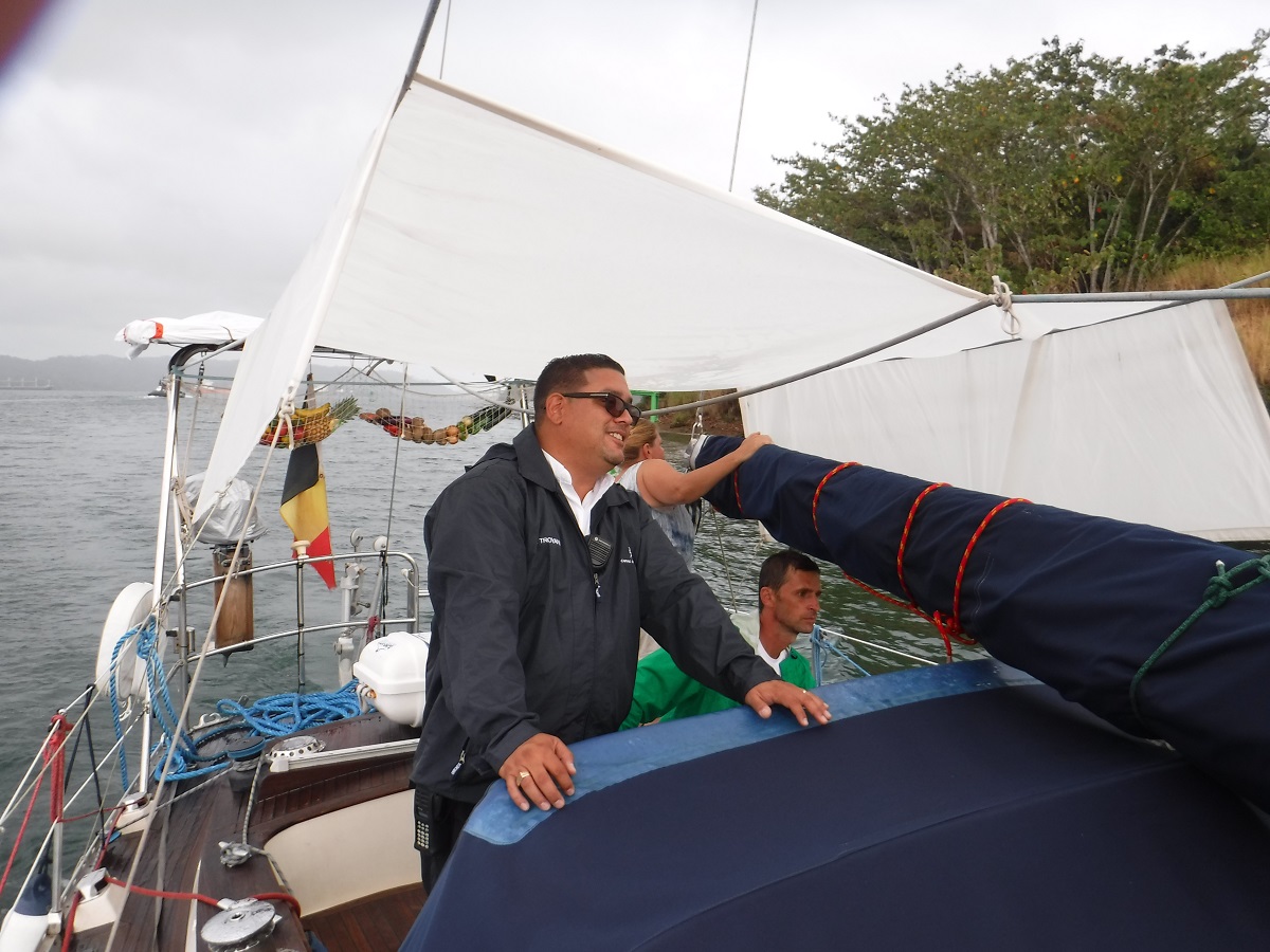
Our canal advisor, super friendly, very professional:
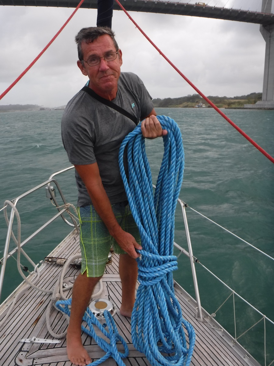
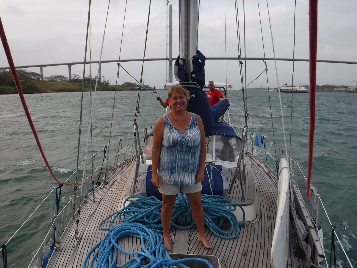
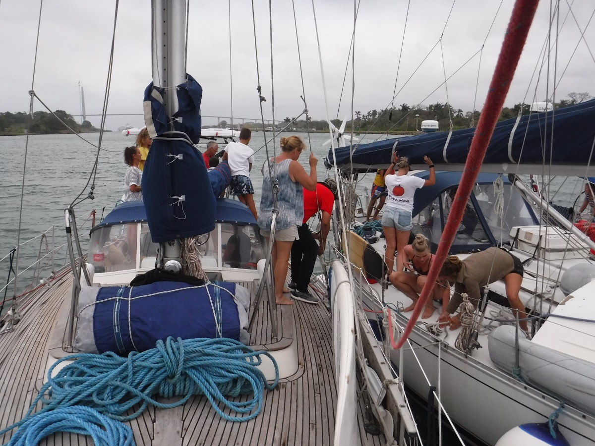
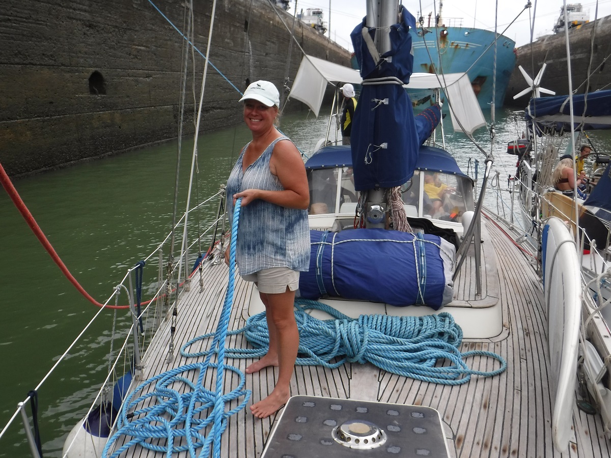
Getting lines ready:
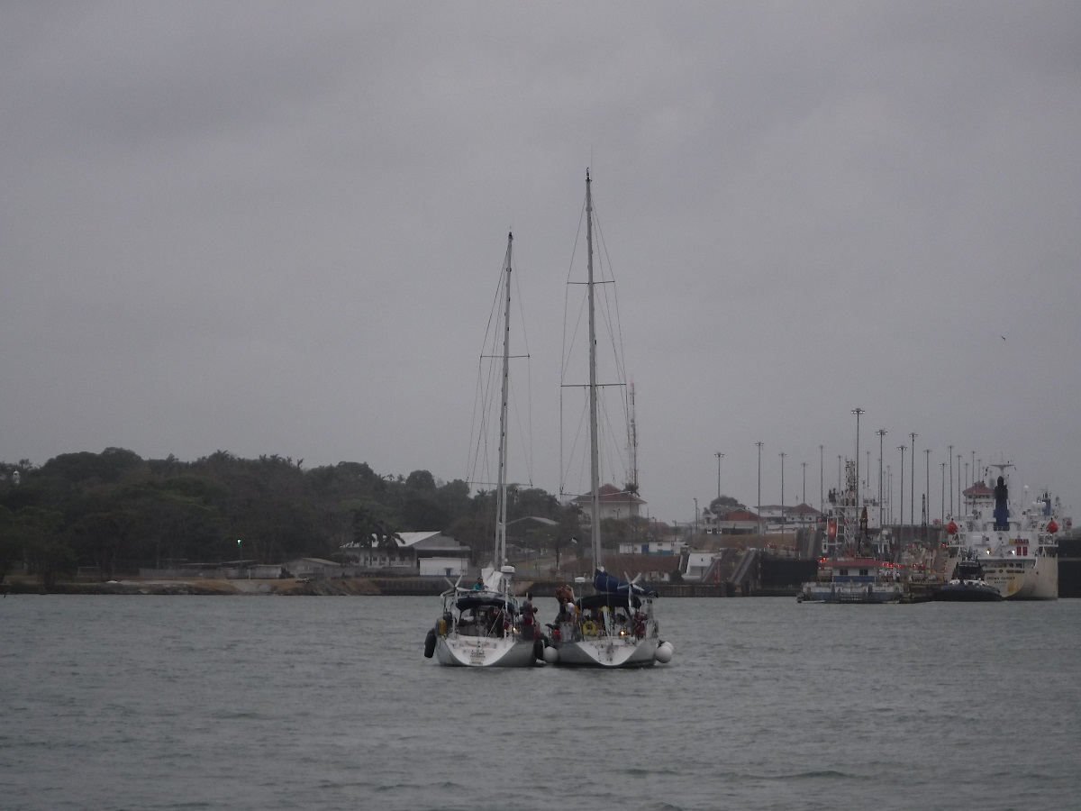
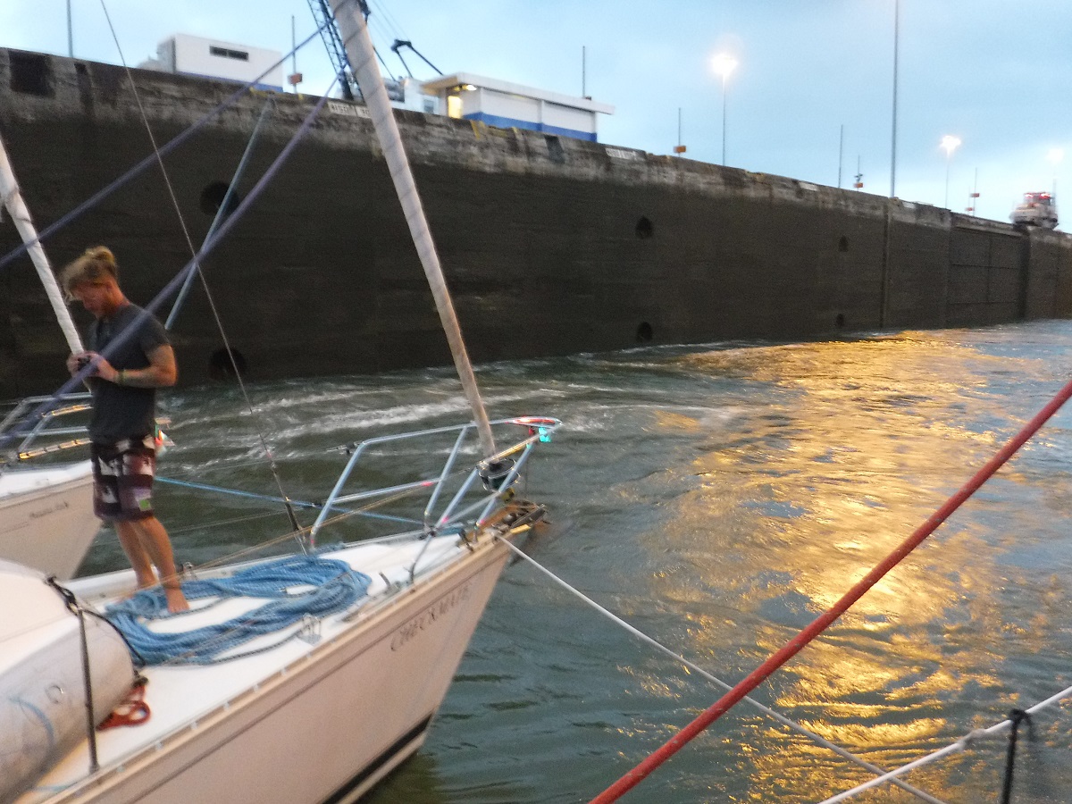
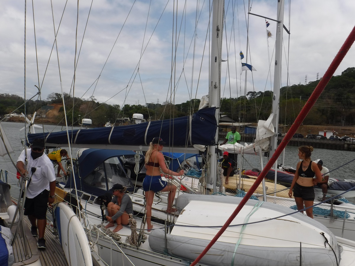
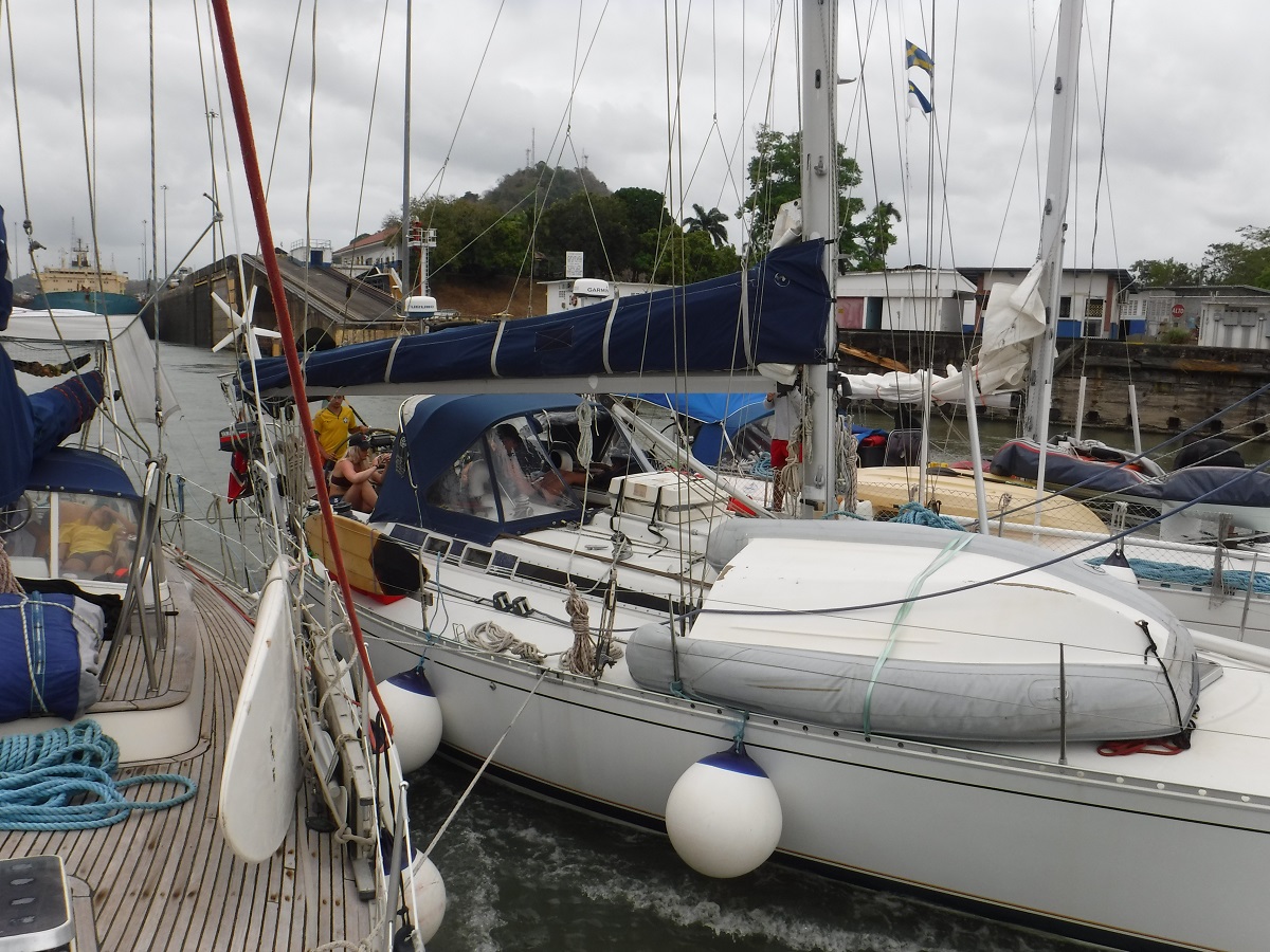
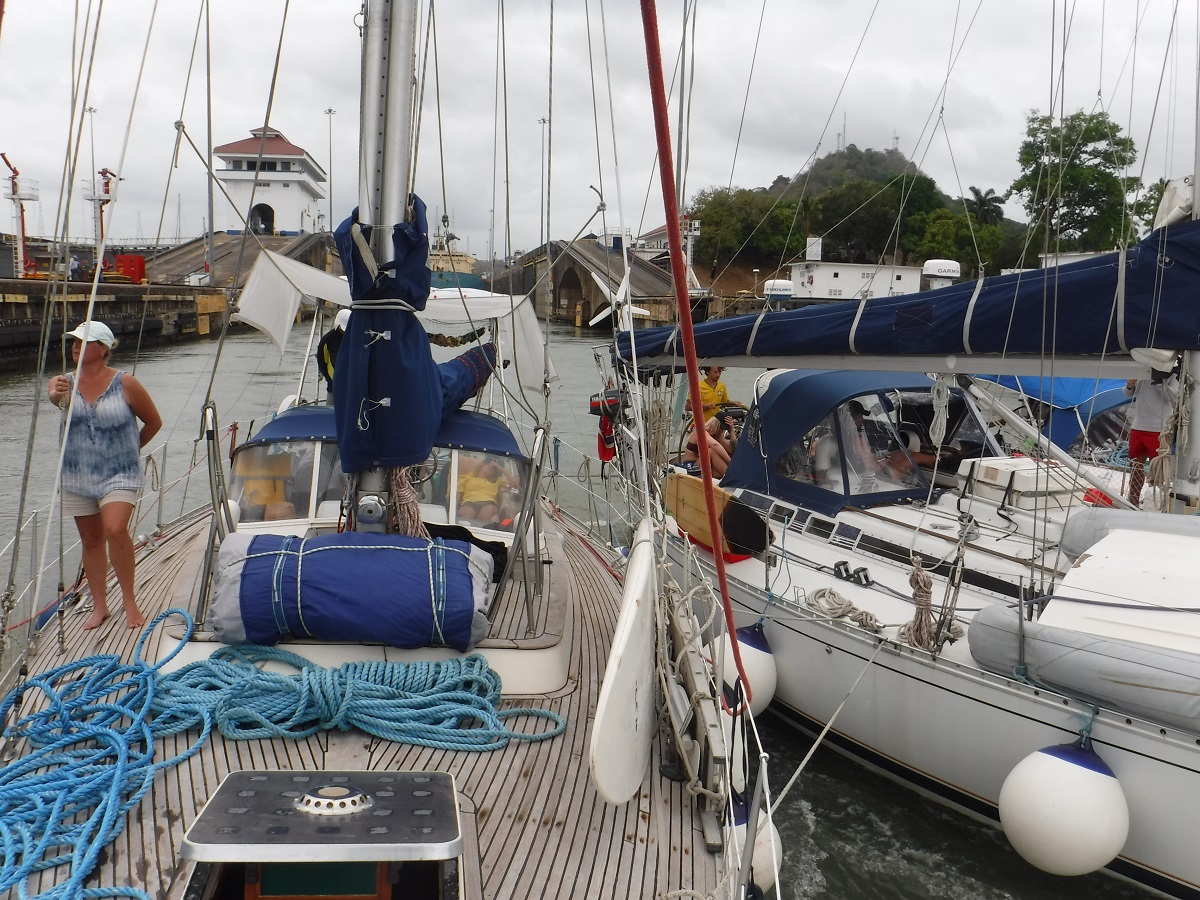
We went through tied up with two other sailboats. Raft up:
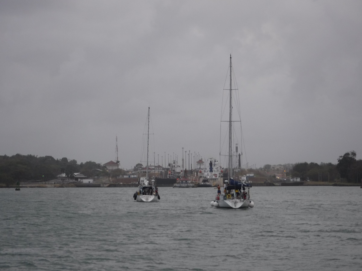
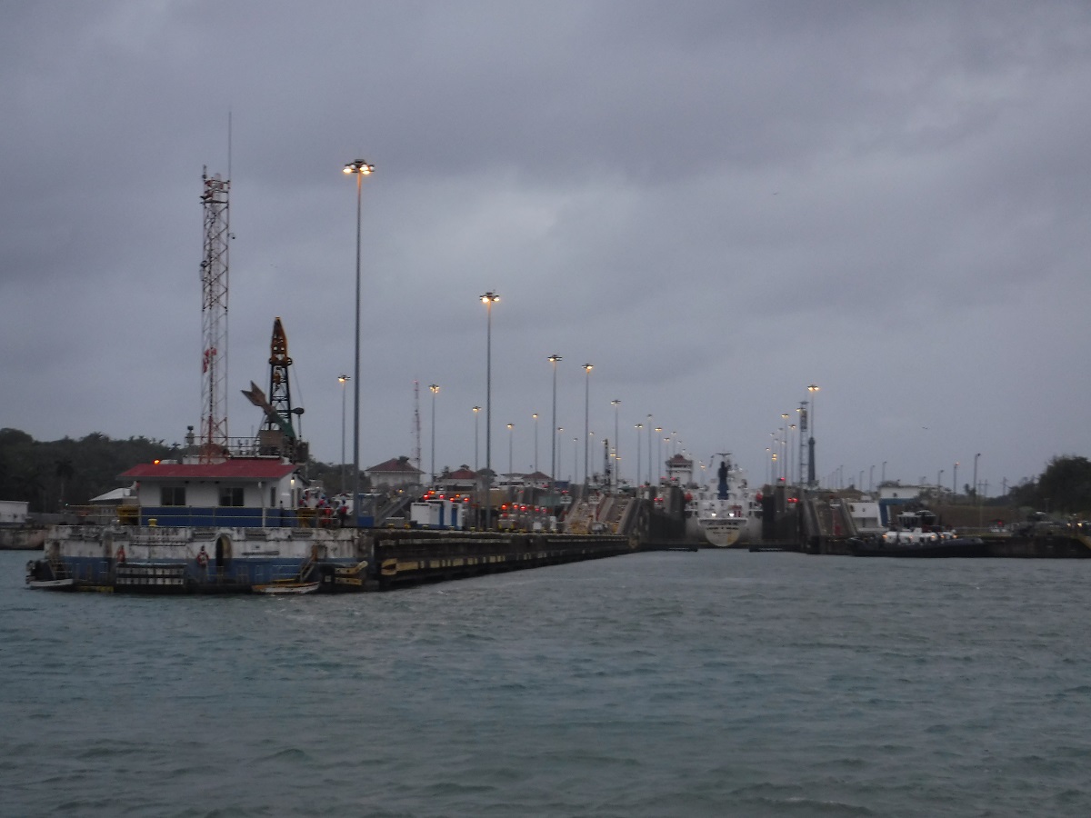
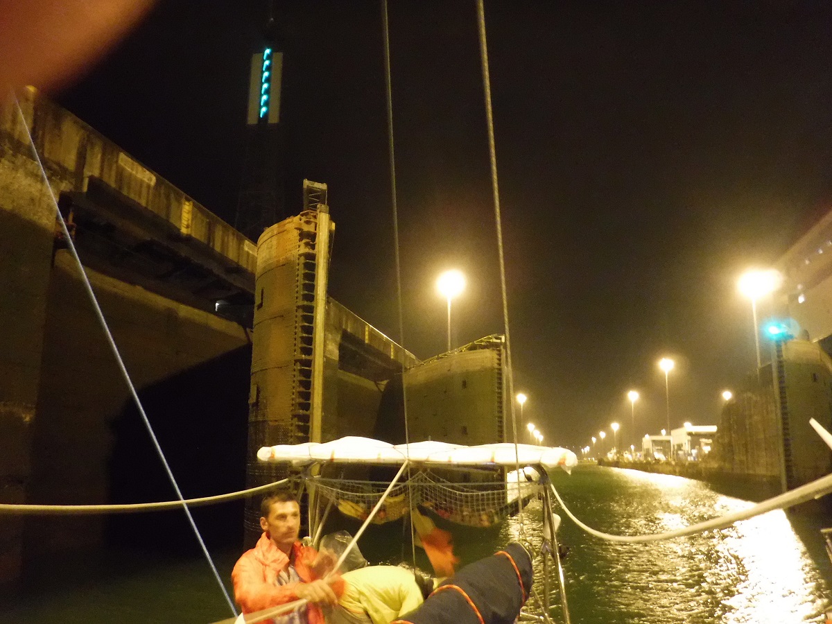
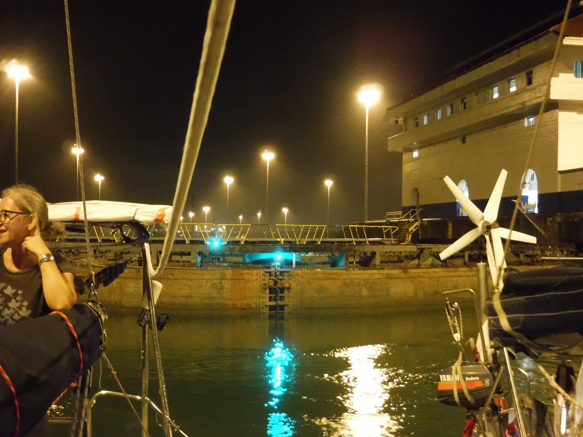
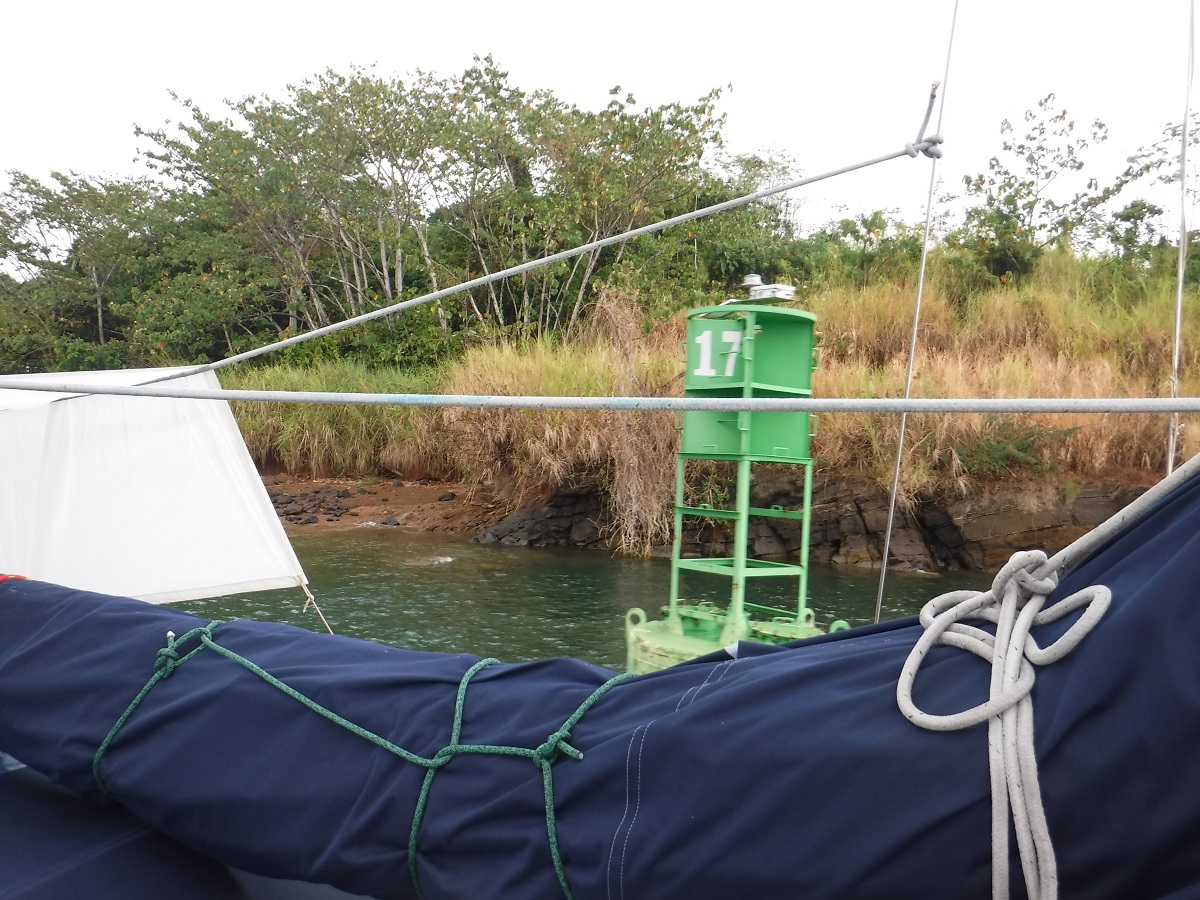
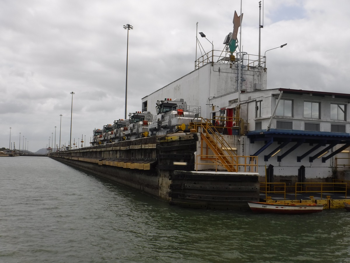
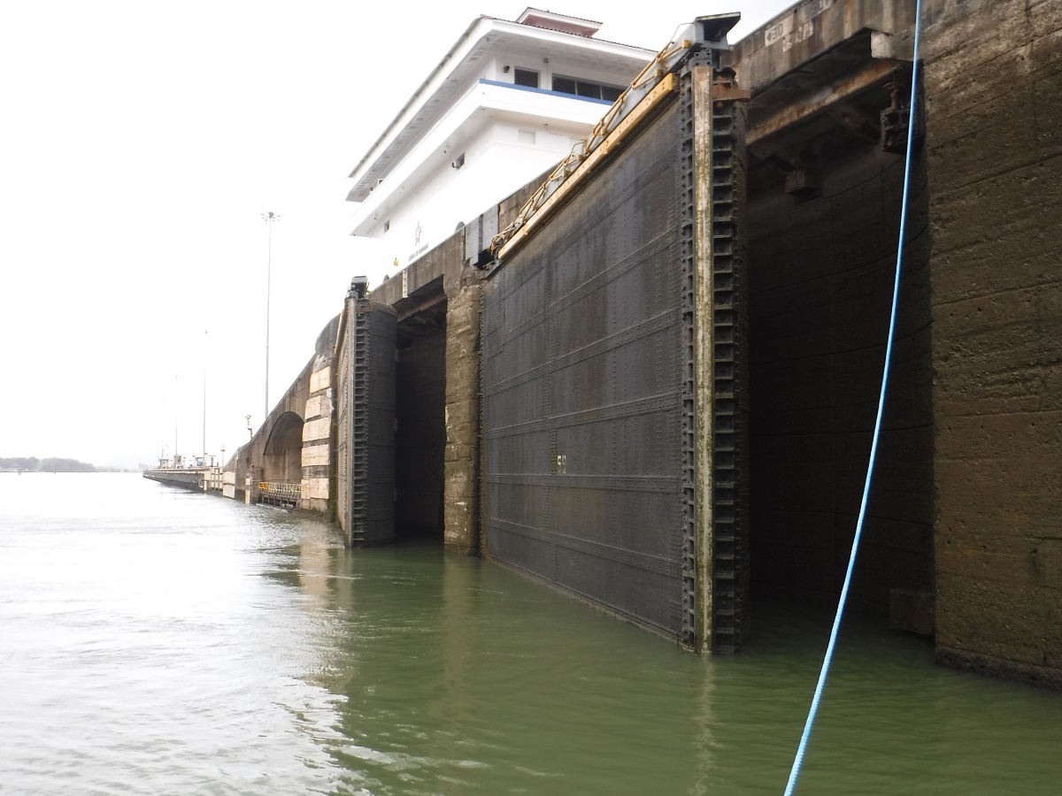
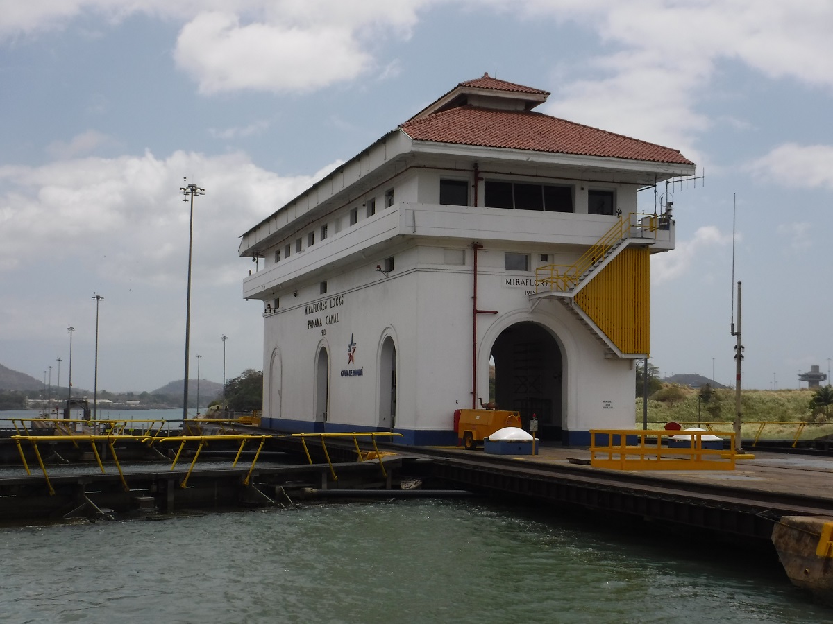
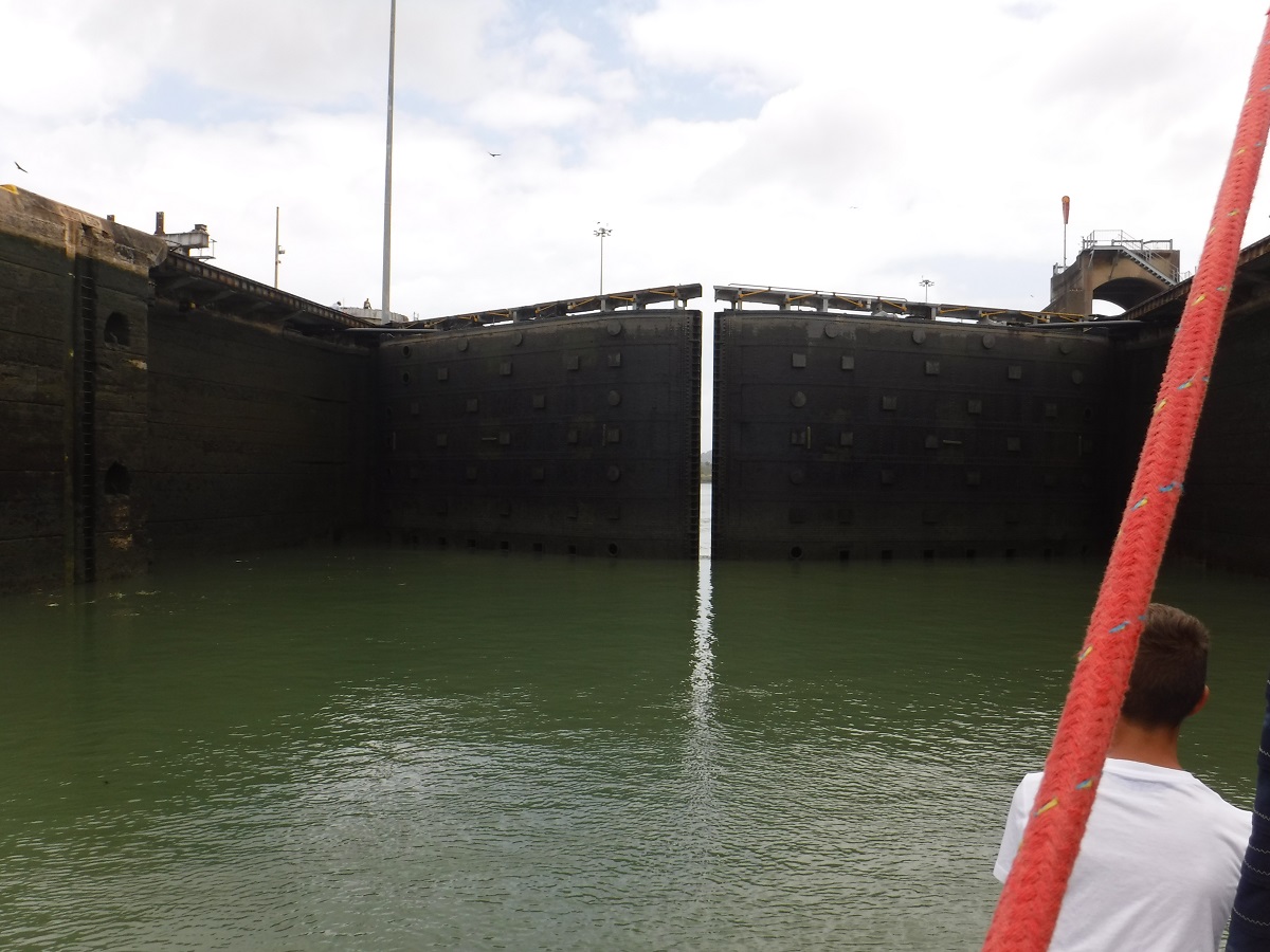
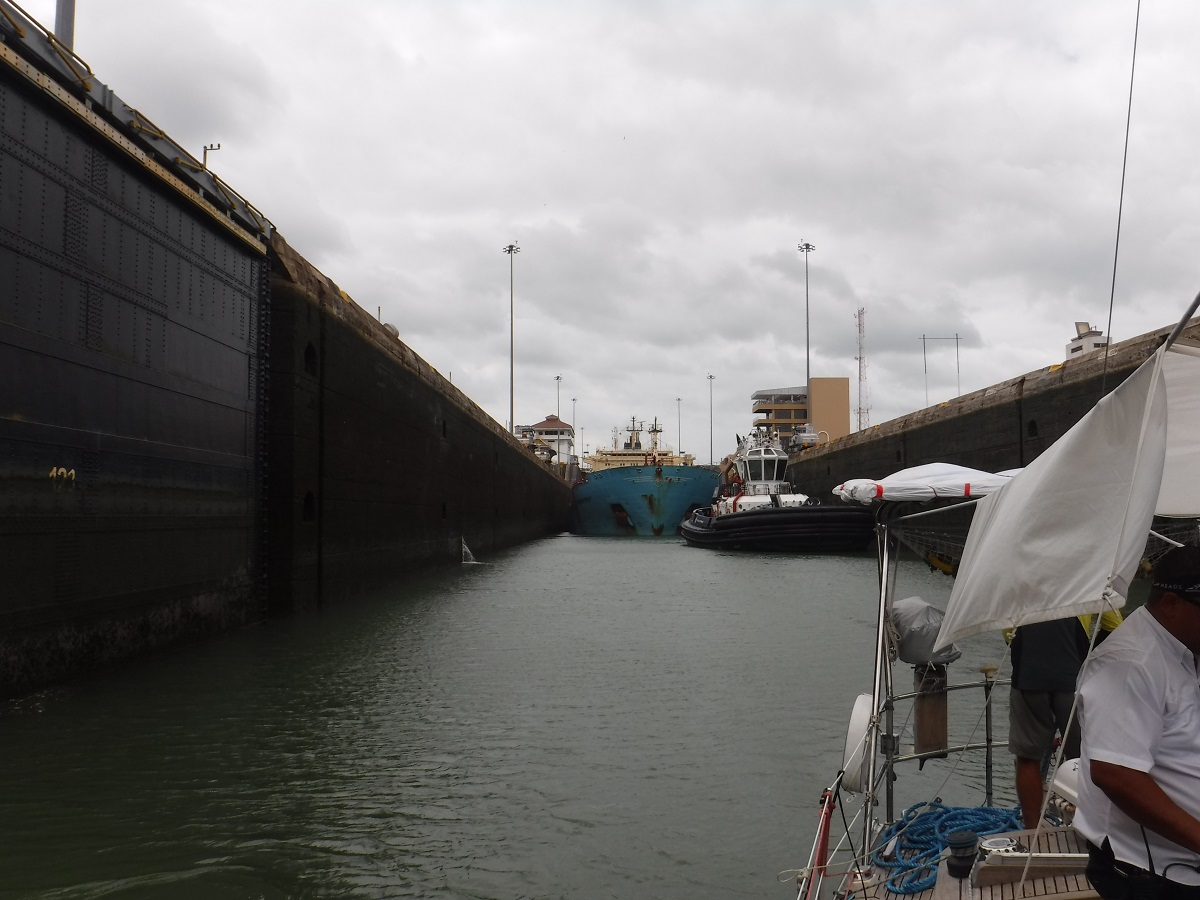
Entrance to Gatun Lock. One lock, three steps. Cargo ship is already in place:
Rafted up, heading into the lock:
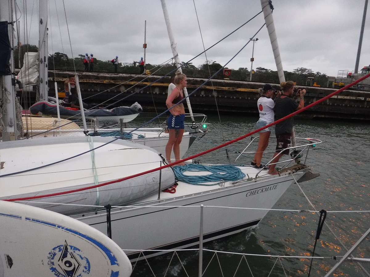
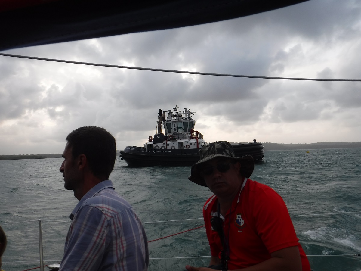
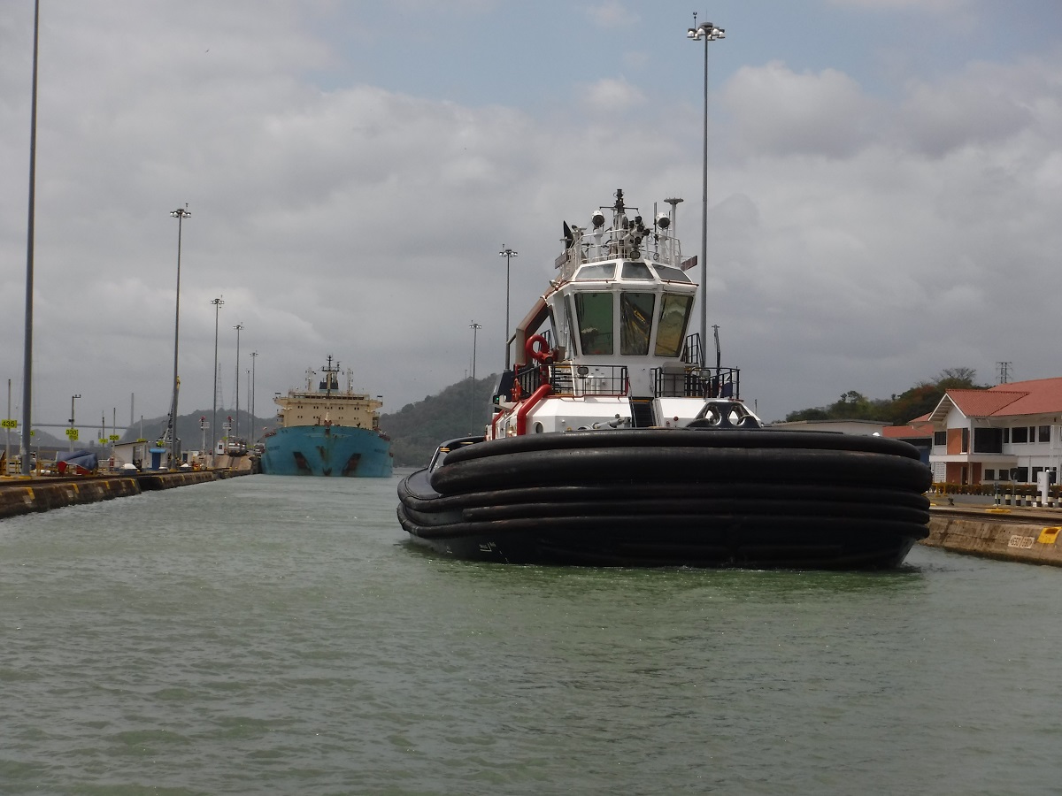
Moving into the lock behind the ship and a canal tug. The tug puts out a big wake and didn’t seem to care that there were three plastic sailboats close behind.
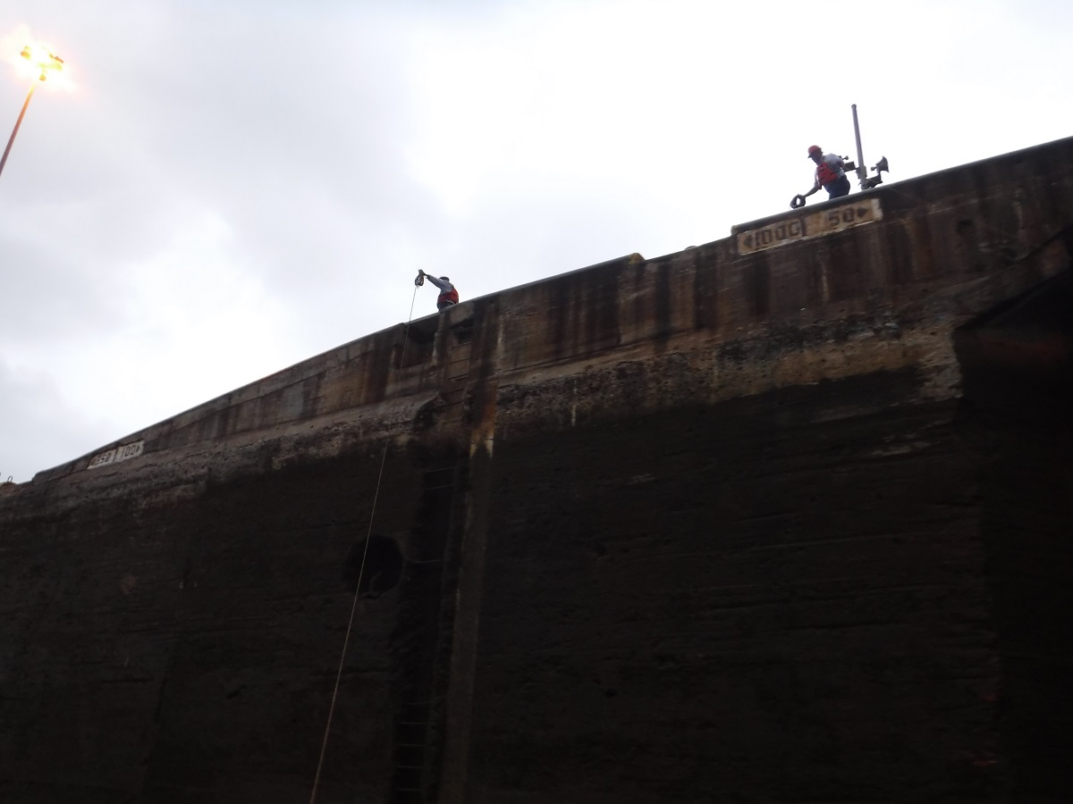
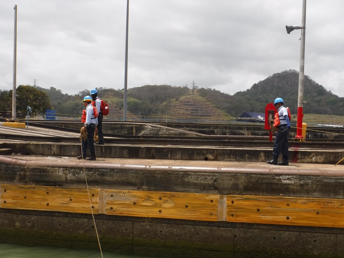
Canal authority hand liners. They throw a small weighted line to you, you attach it to the larger line and they pull it up and secure it to the wall.
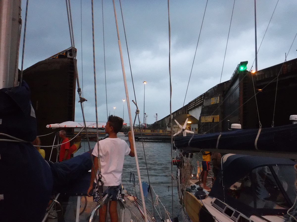
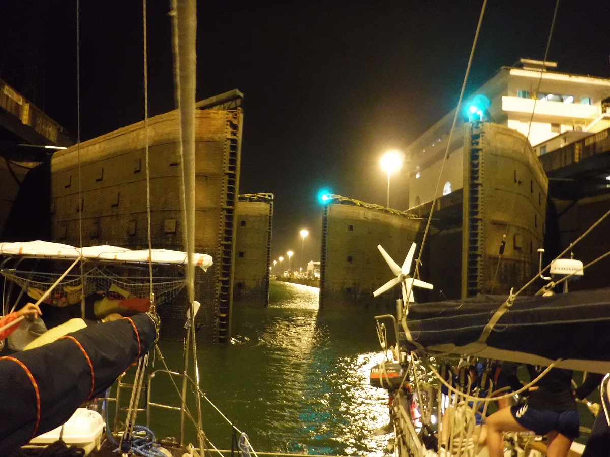
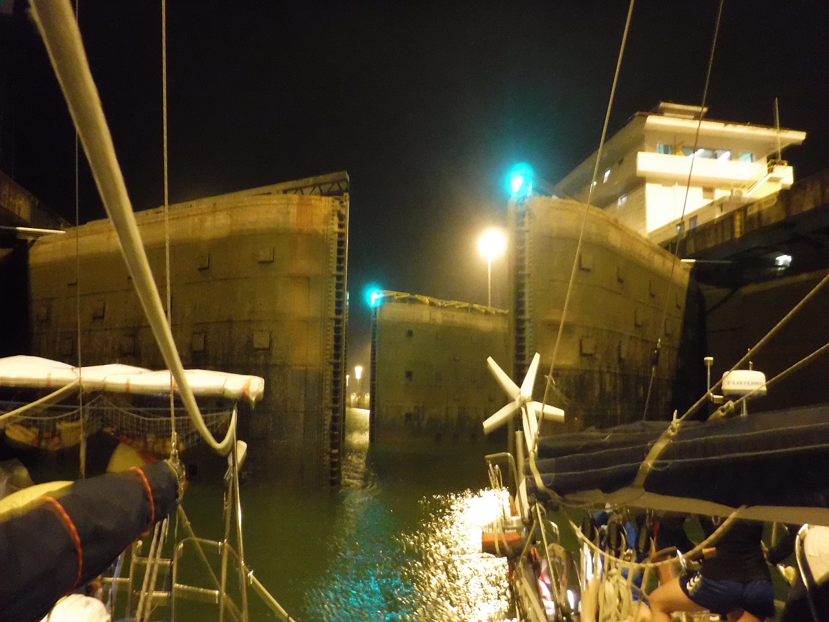
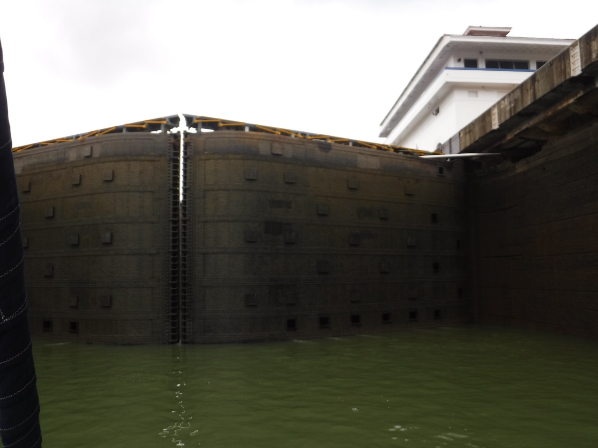
Doors closing, closing, closed:

Flooding the chamber, it gets a little swirly:
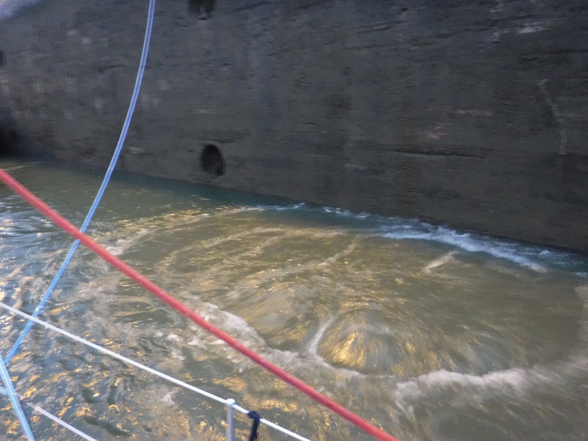
Going up!
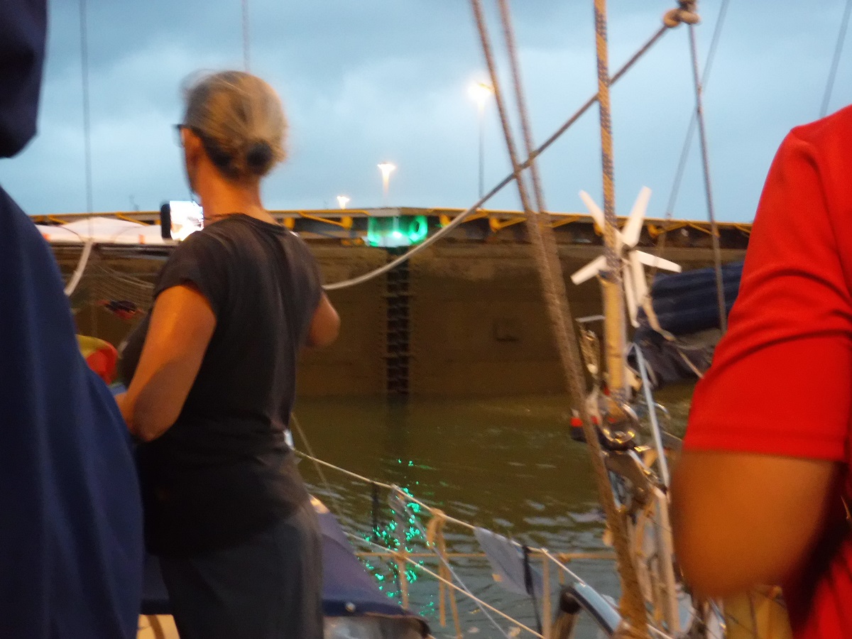

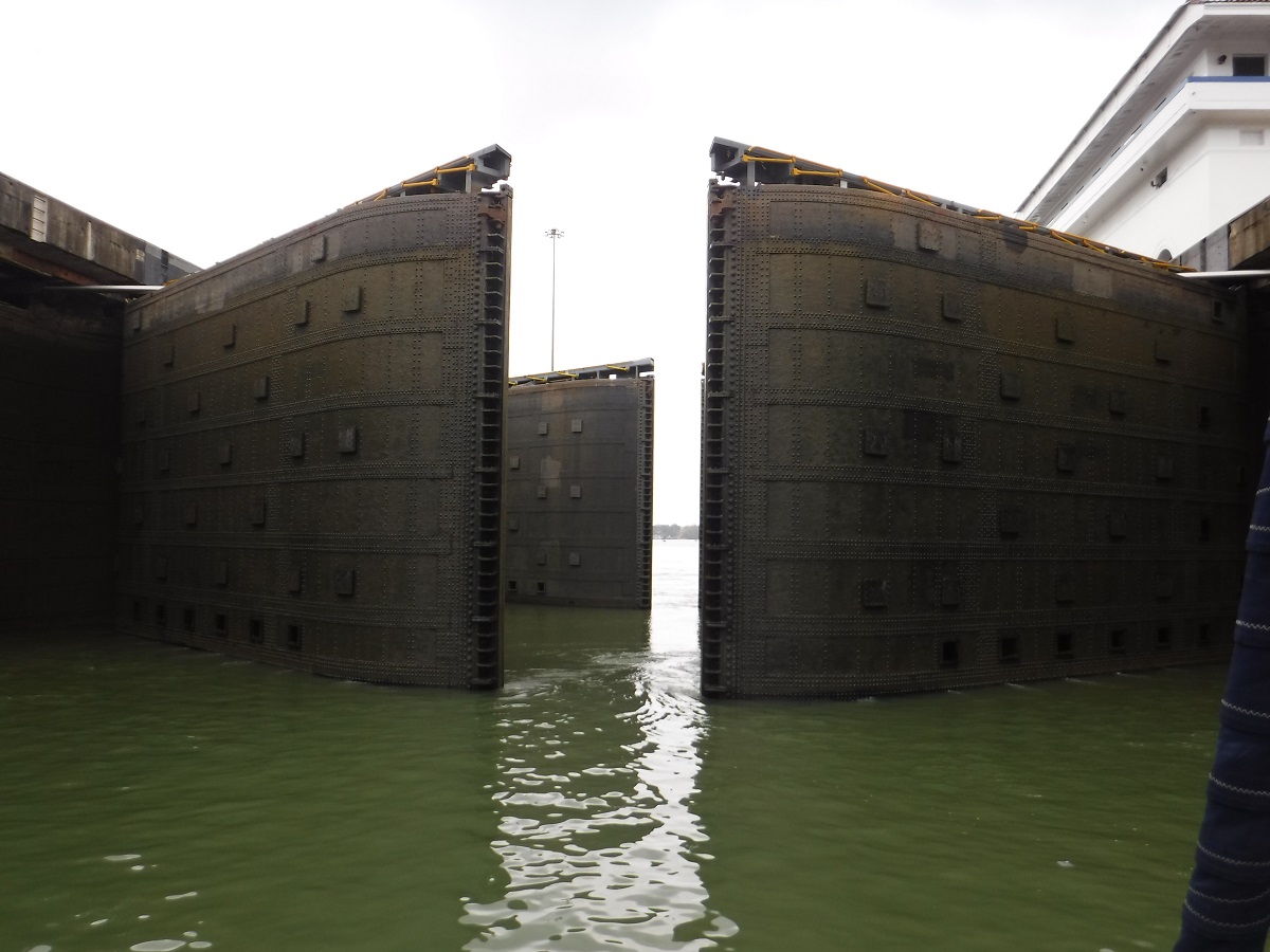
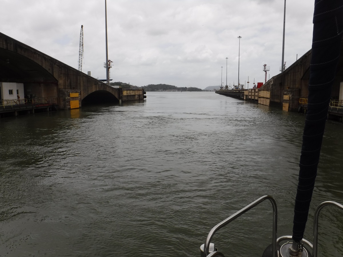
Once the chamber is fully flooded they open the doors and we all move to the next chamber. In the second “step” of Gatun Lock, doors closing behind us:
Step two, flooded:
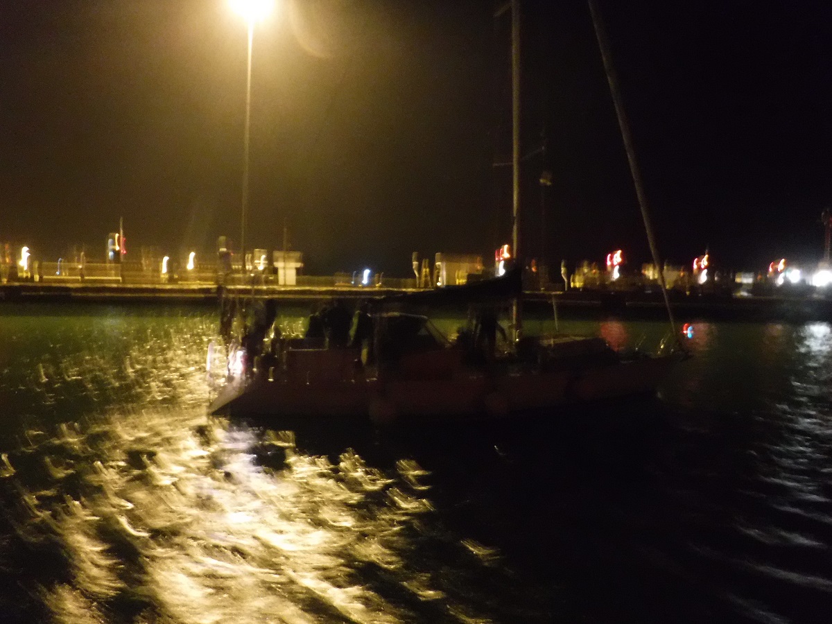
Once through all the steps of the lock we were in Gatun Lake. The boats separated and the advisors directed us to a couple of large moorings. We tied up and spent the night in the lake. Howler monkeys howling in the distance…
The next morning the pilot boat showed up at 0700, shortly after we were on our way again:

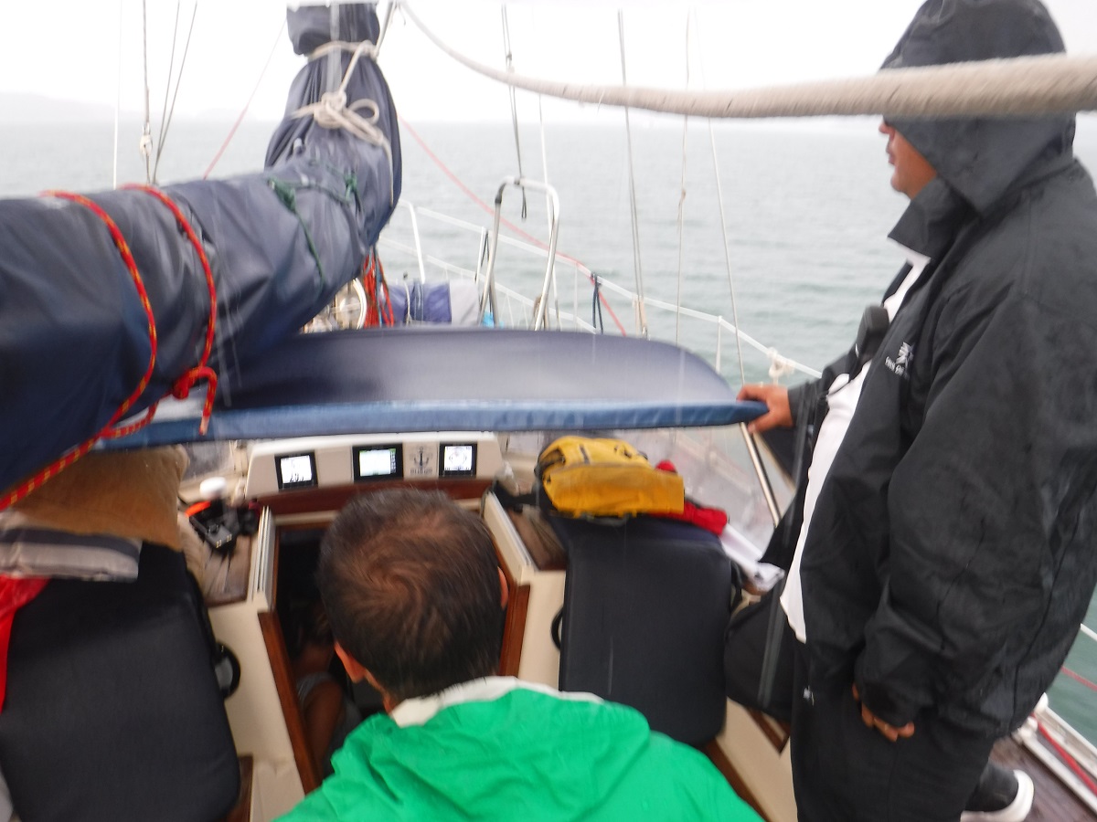
Rainy day:
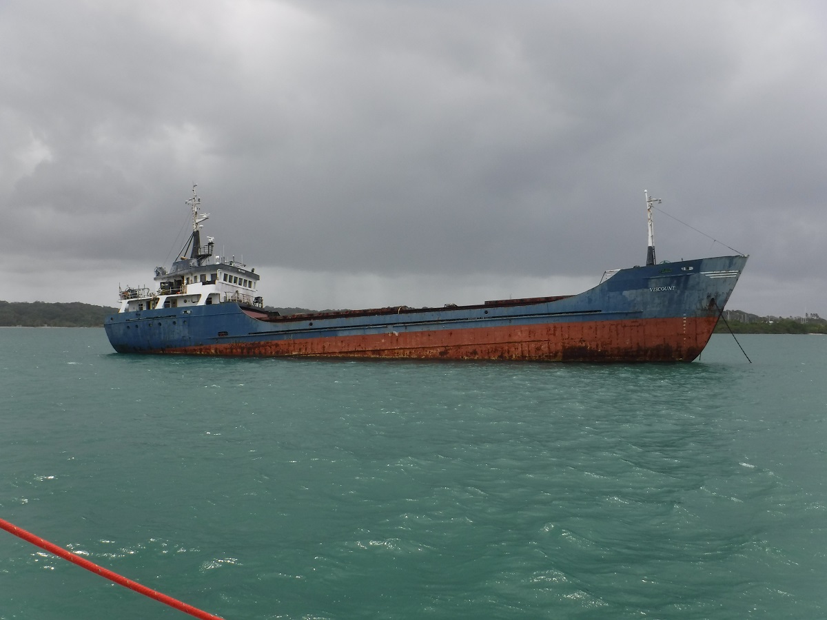
Ships anchored in Gatun Lake:
The lake is man-made, deep right up to the shore:
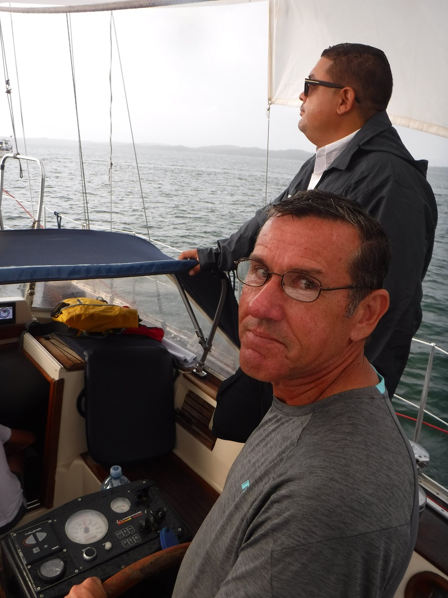
Our new advisor:
Ship VS sailboat:
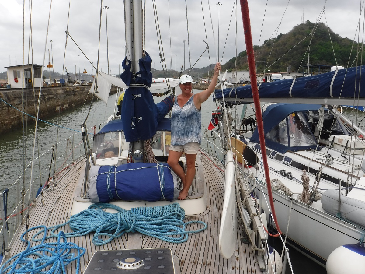
Tibby, the captain, let me drive for an hour or two:
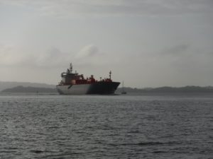
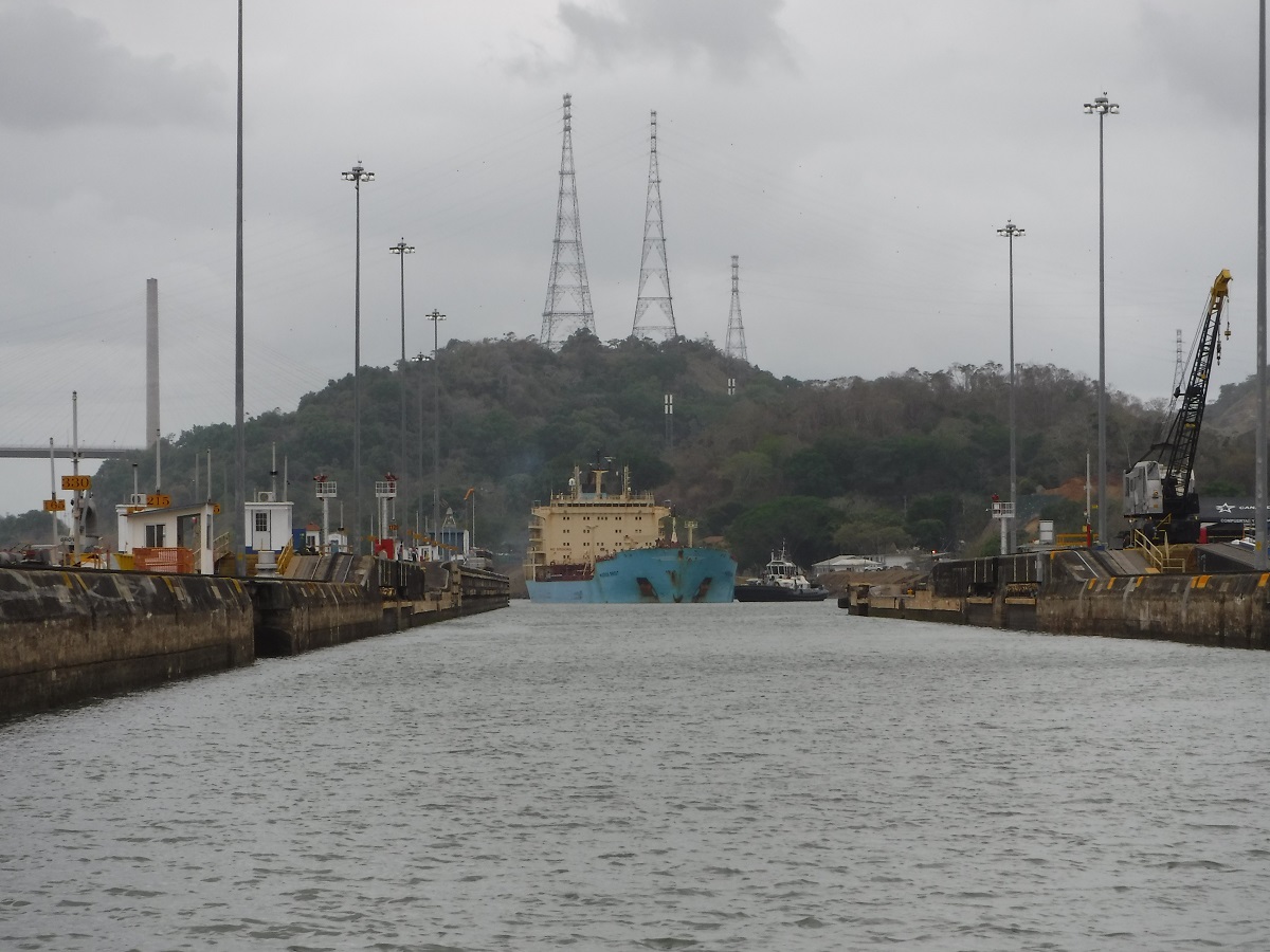
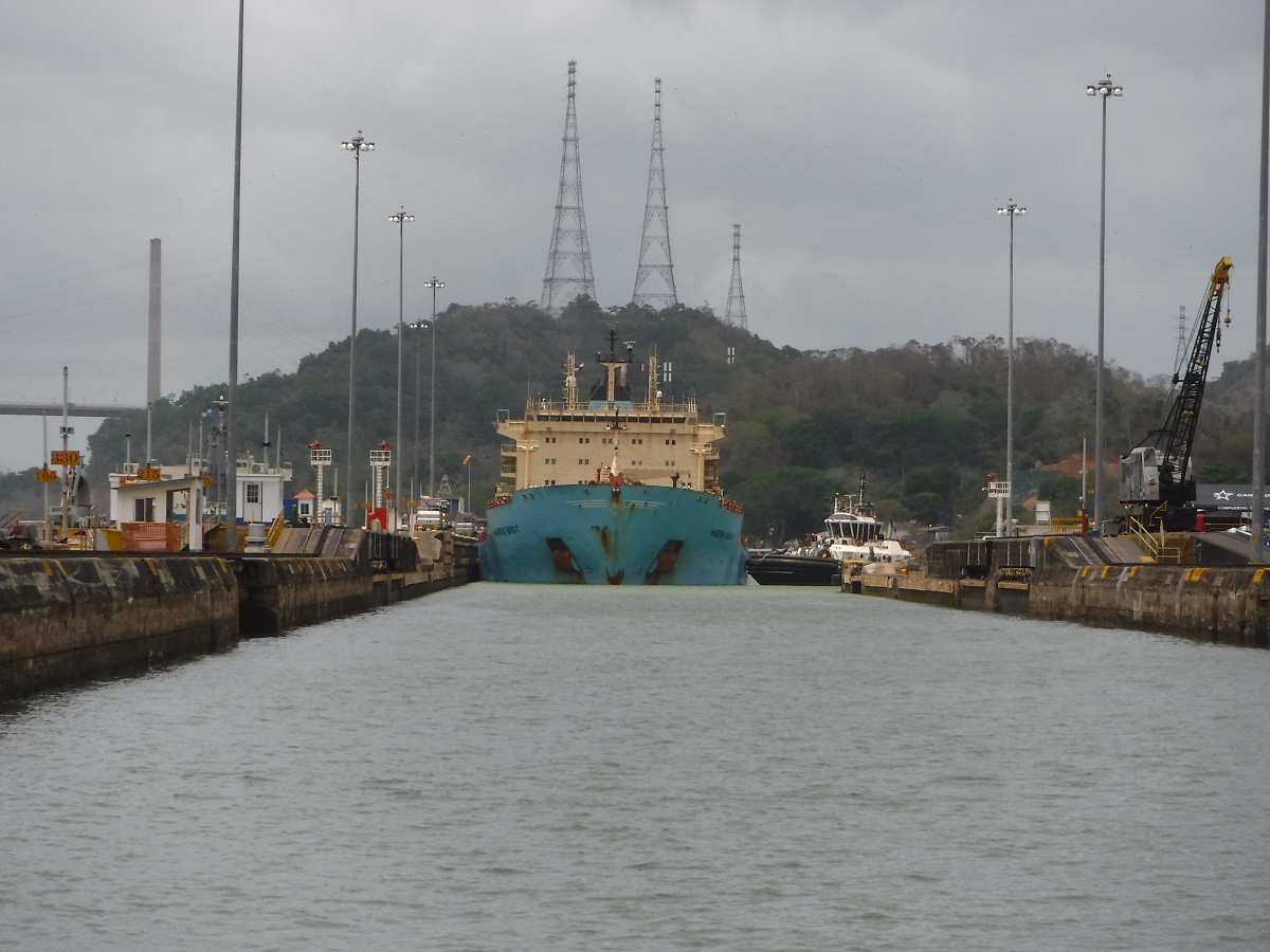
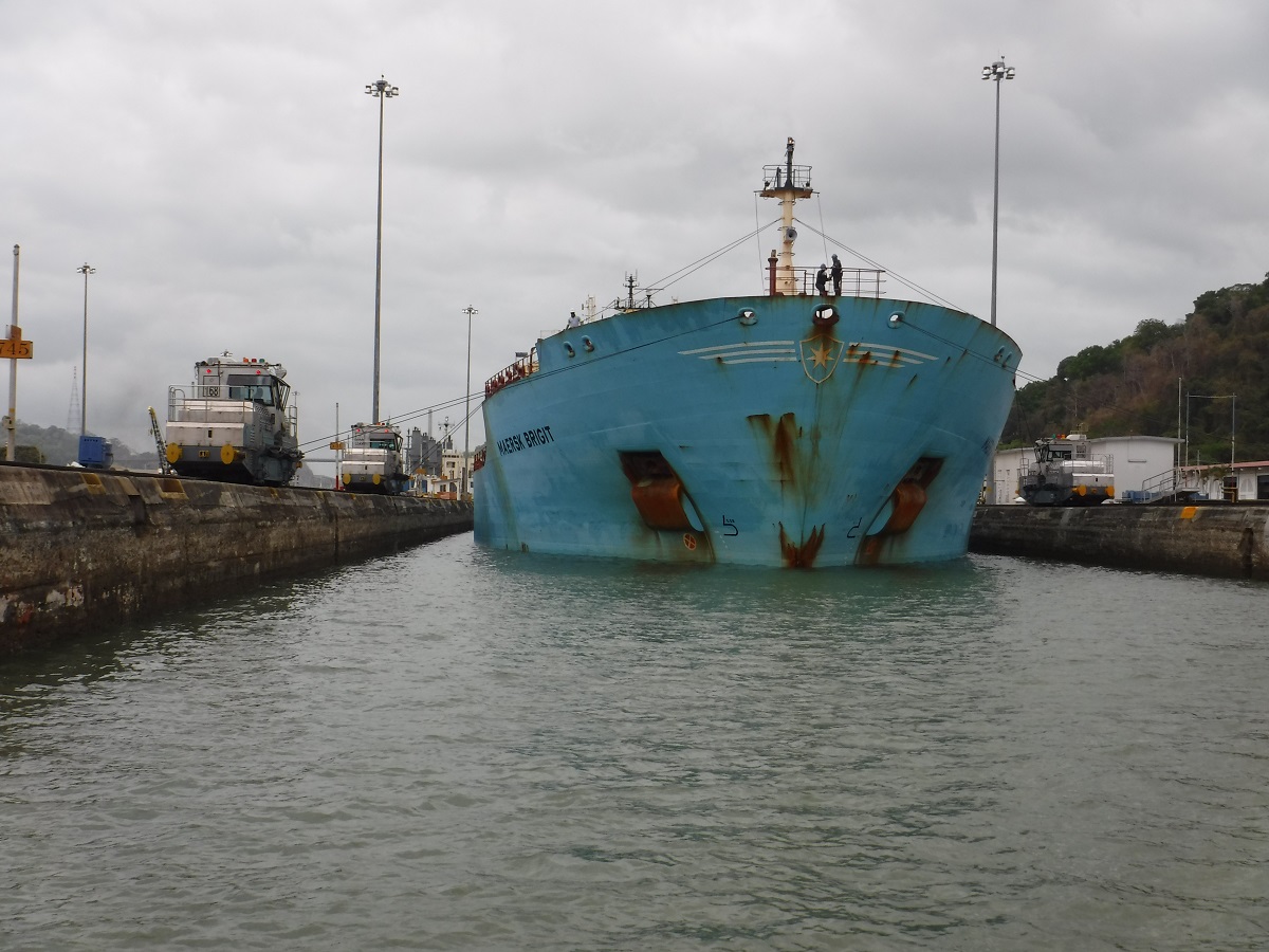
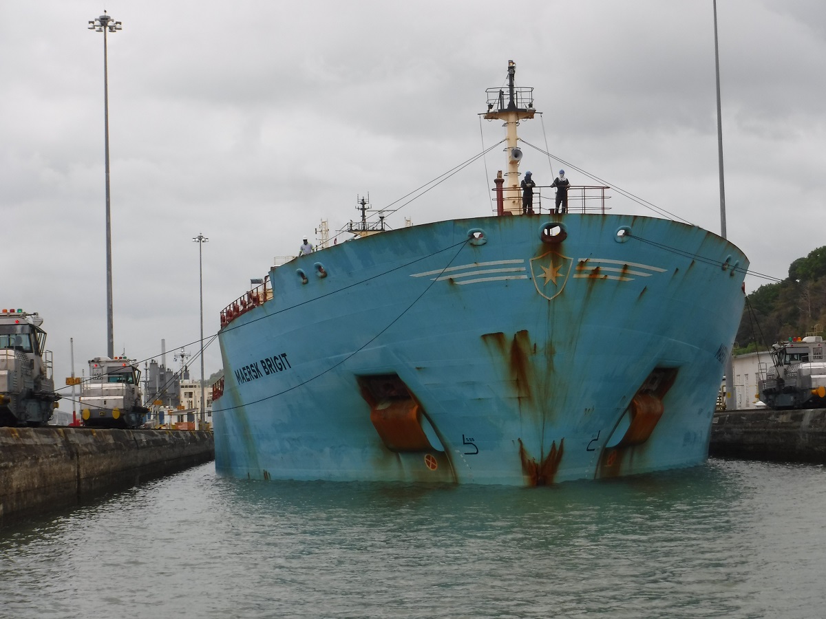
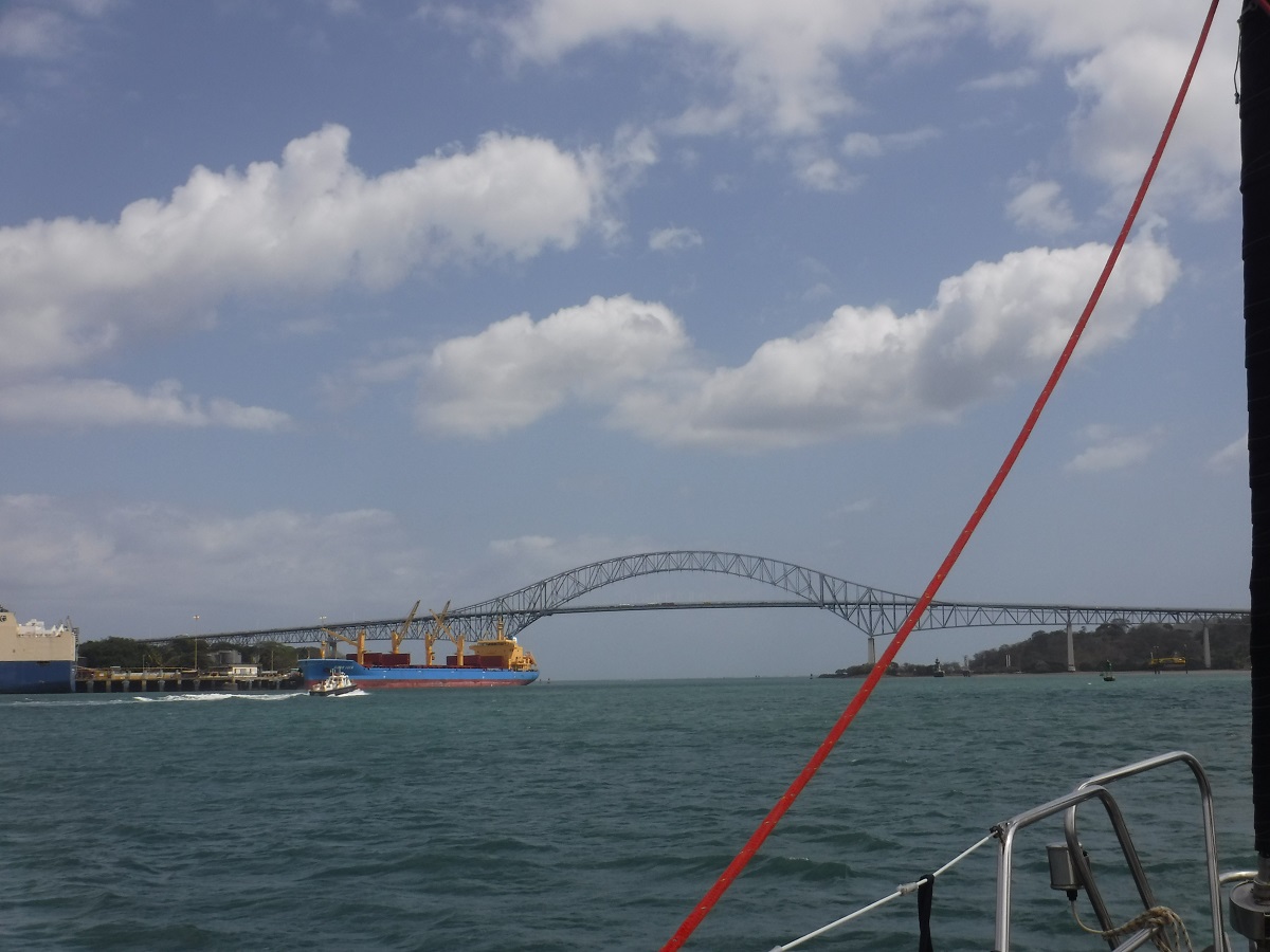
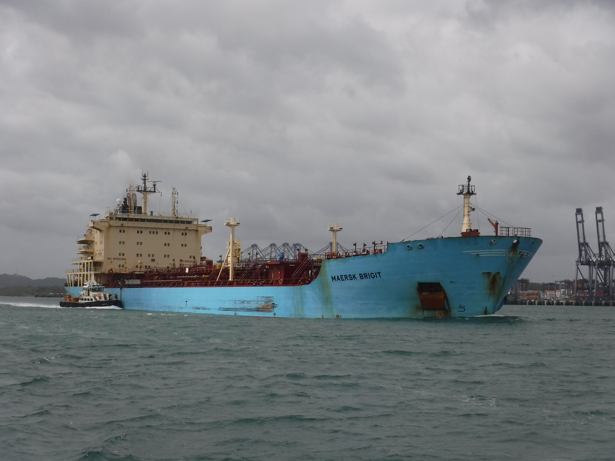
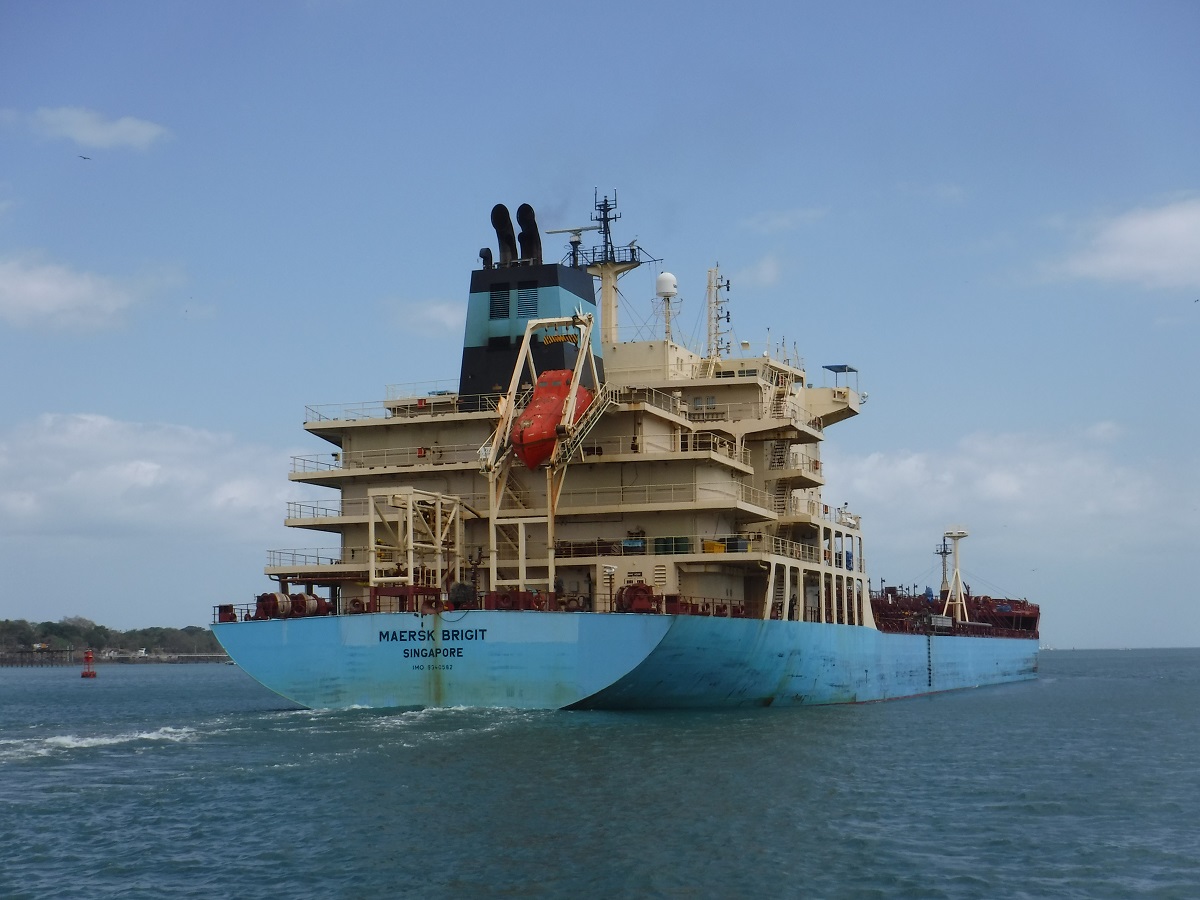
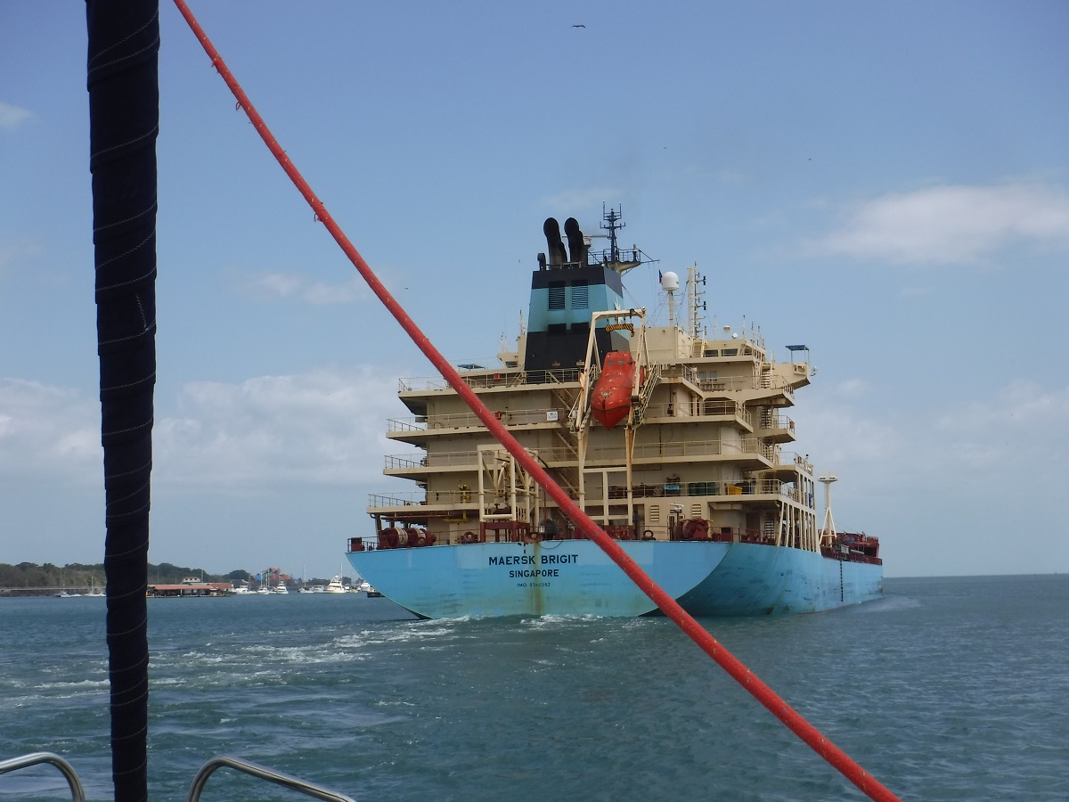
We would be locking with this ship, Maersk Brigit:
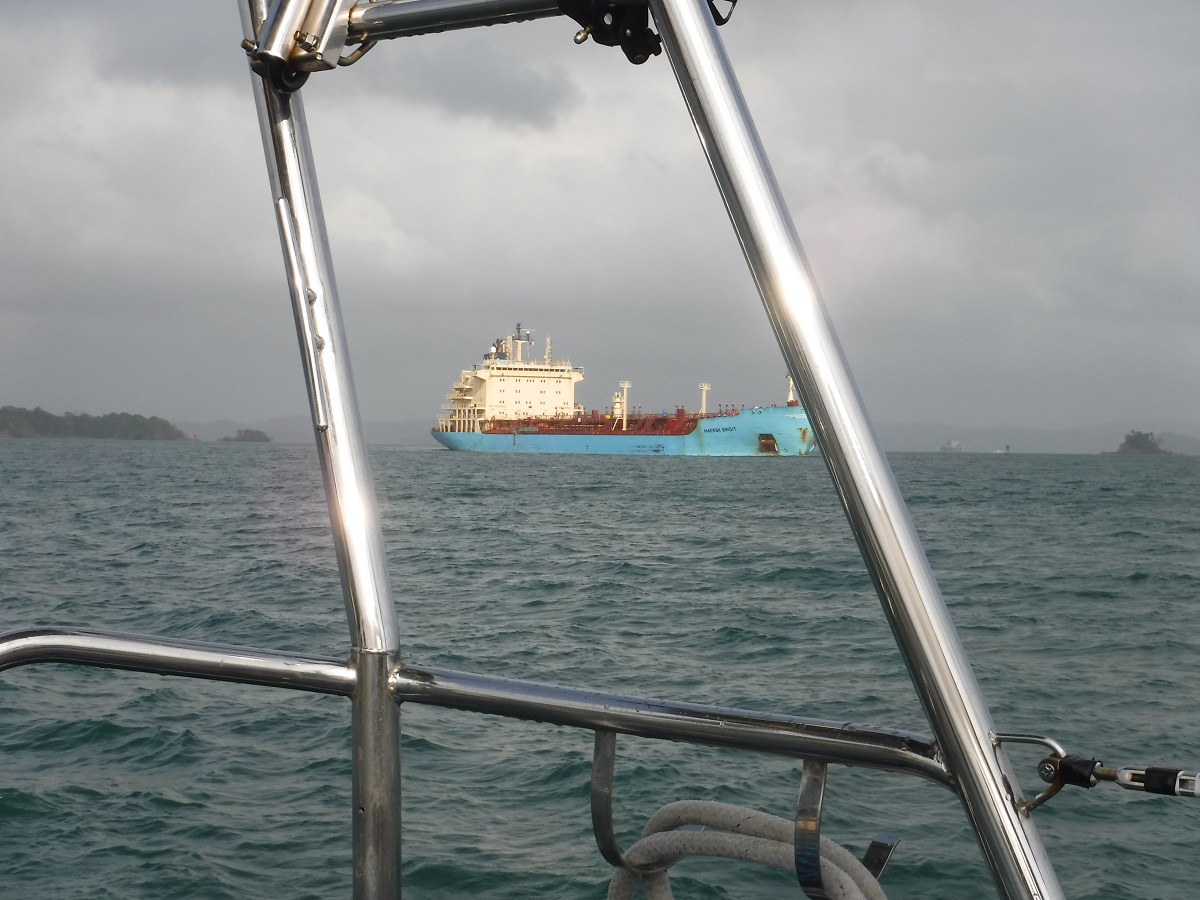
Northbound traffic, 1100 feet long:
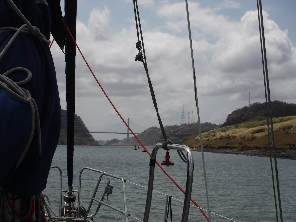
Centennial Bridge in the distance:
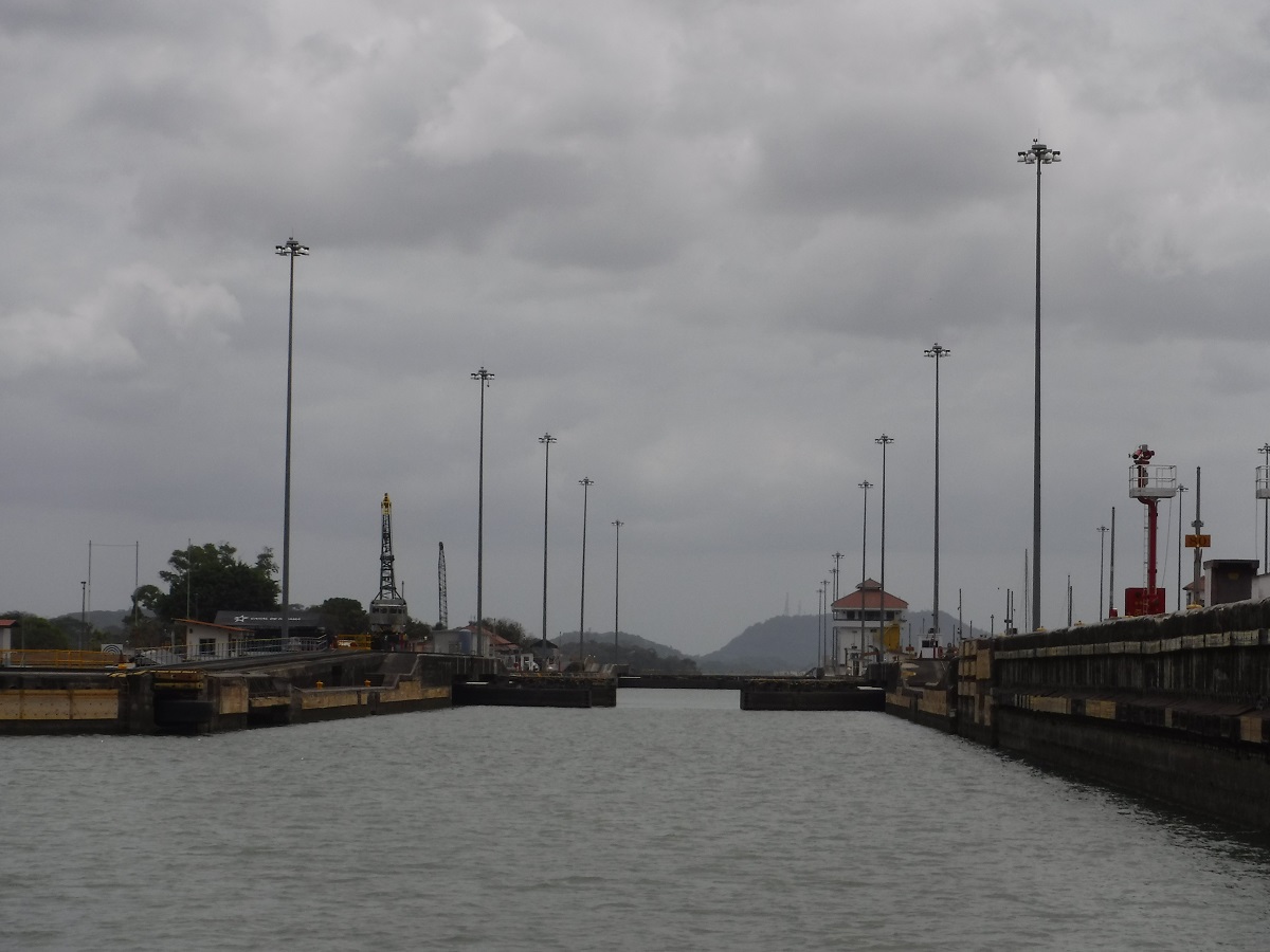
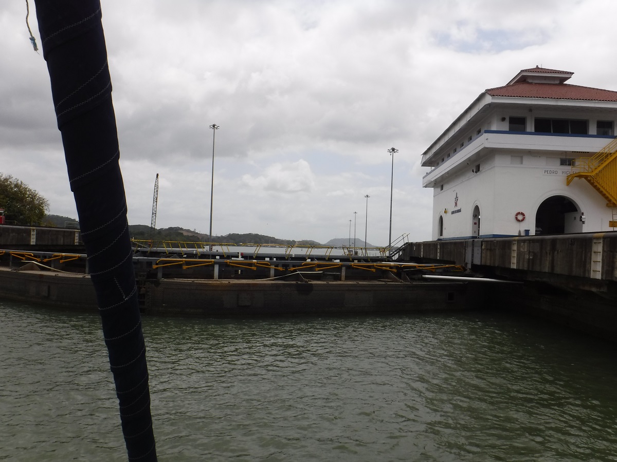
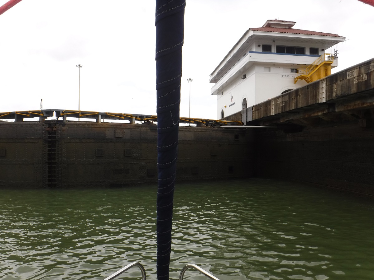
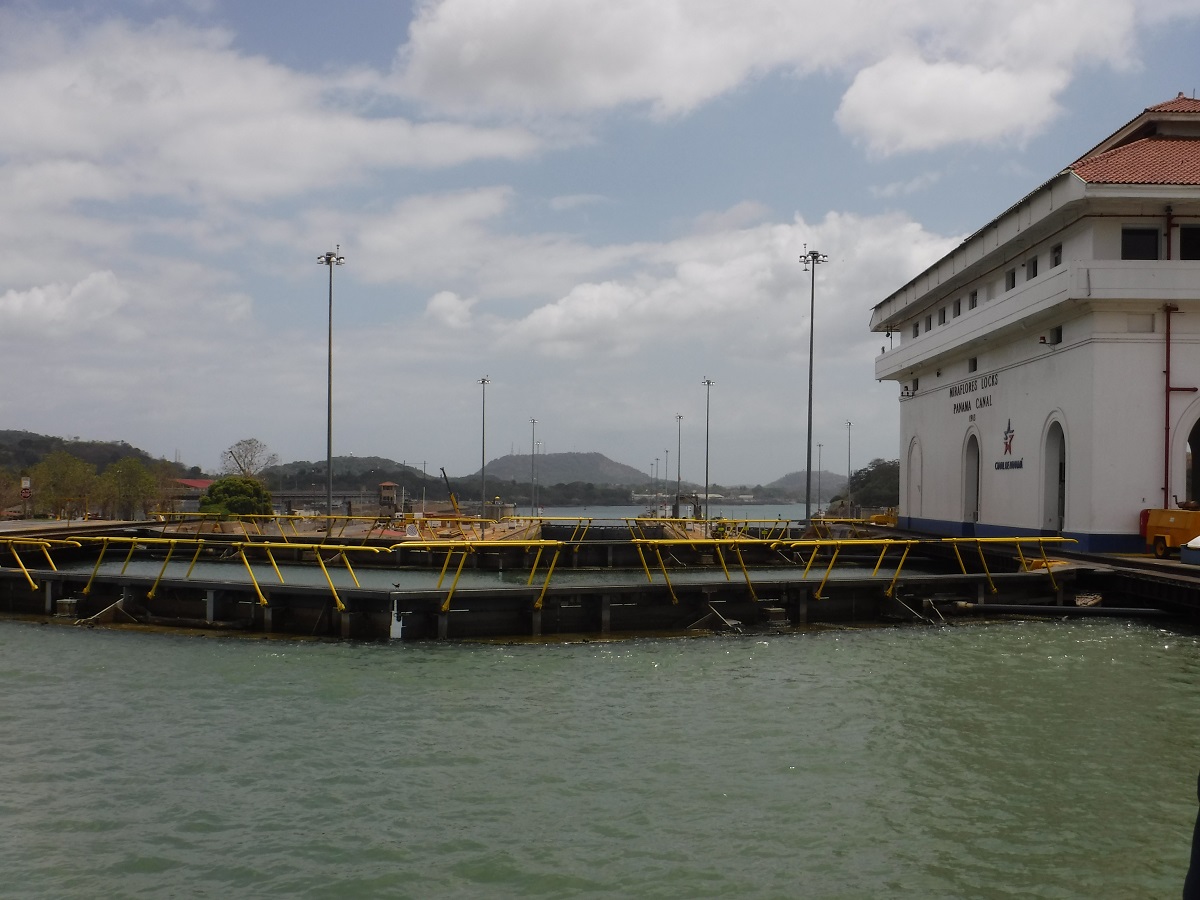
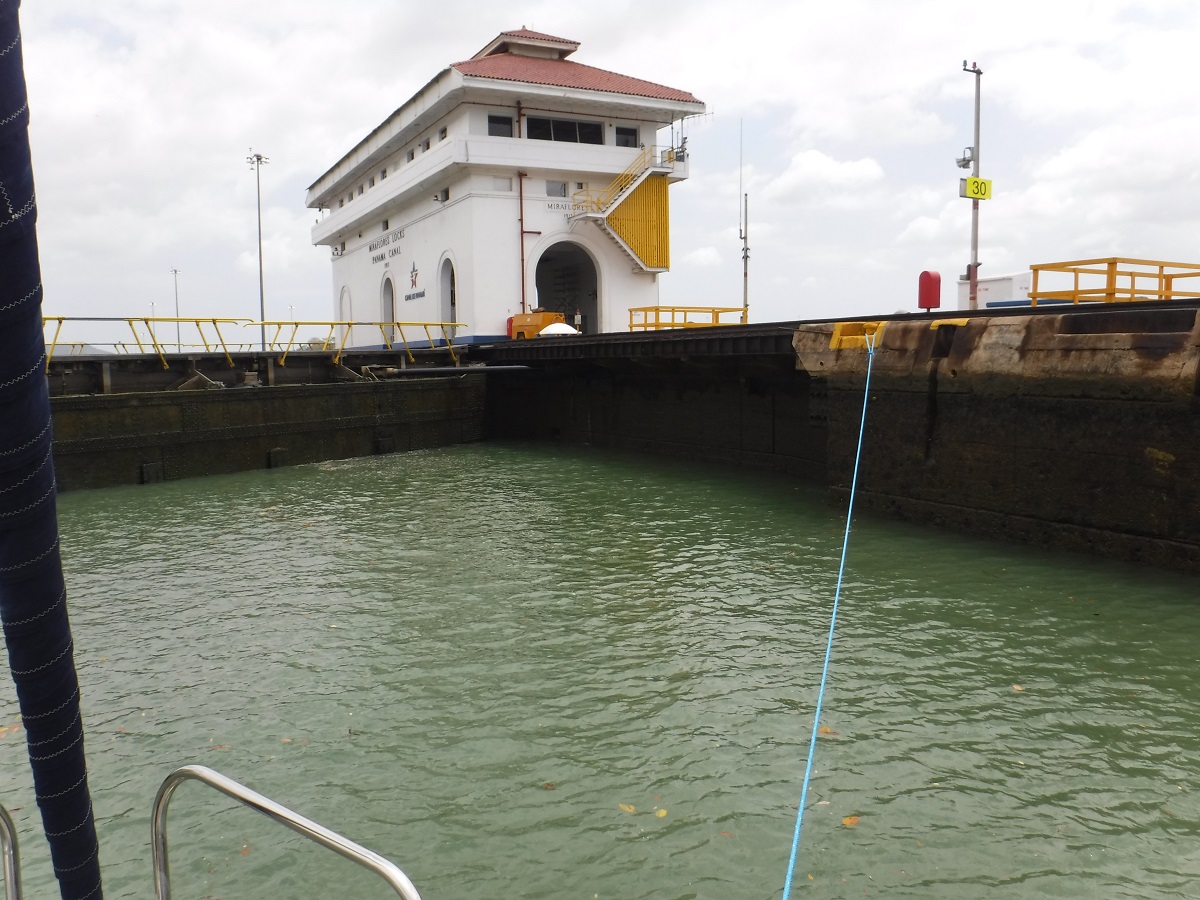
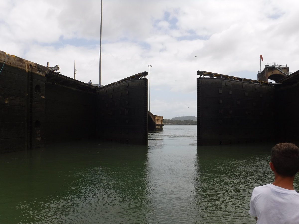
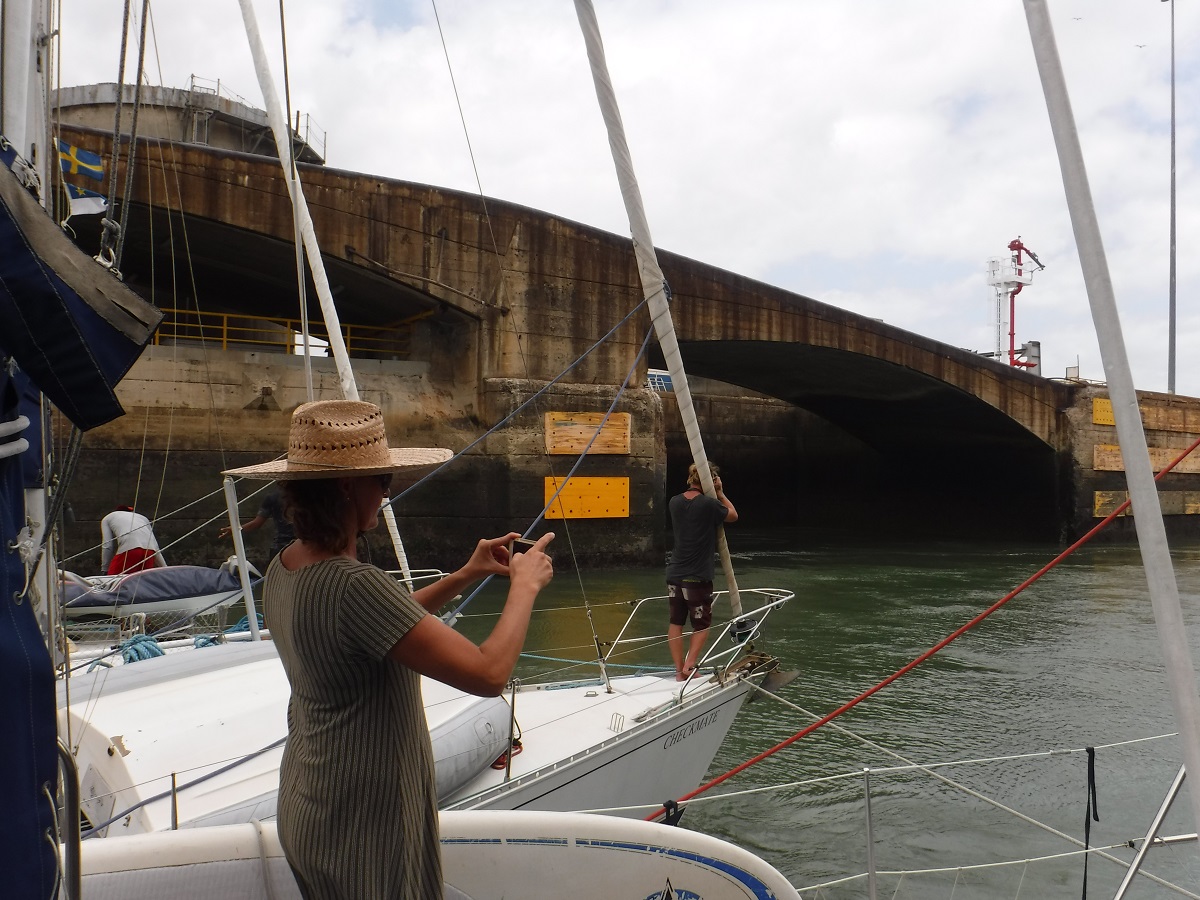
After a 28 mile trip across the lake we rafted up again and prepared to enter Pedro Miguel Lock:

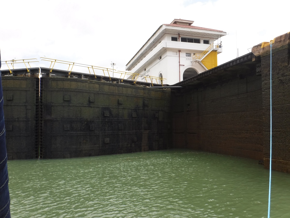
Entrance to Pedro Miguel Lock:
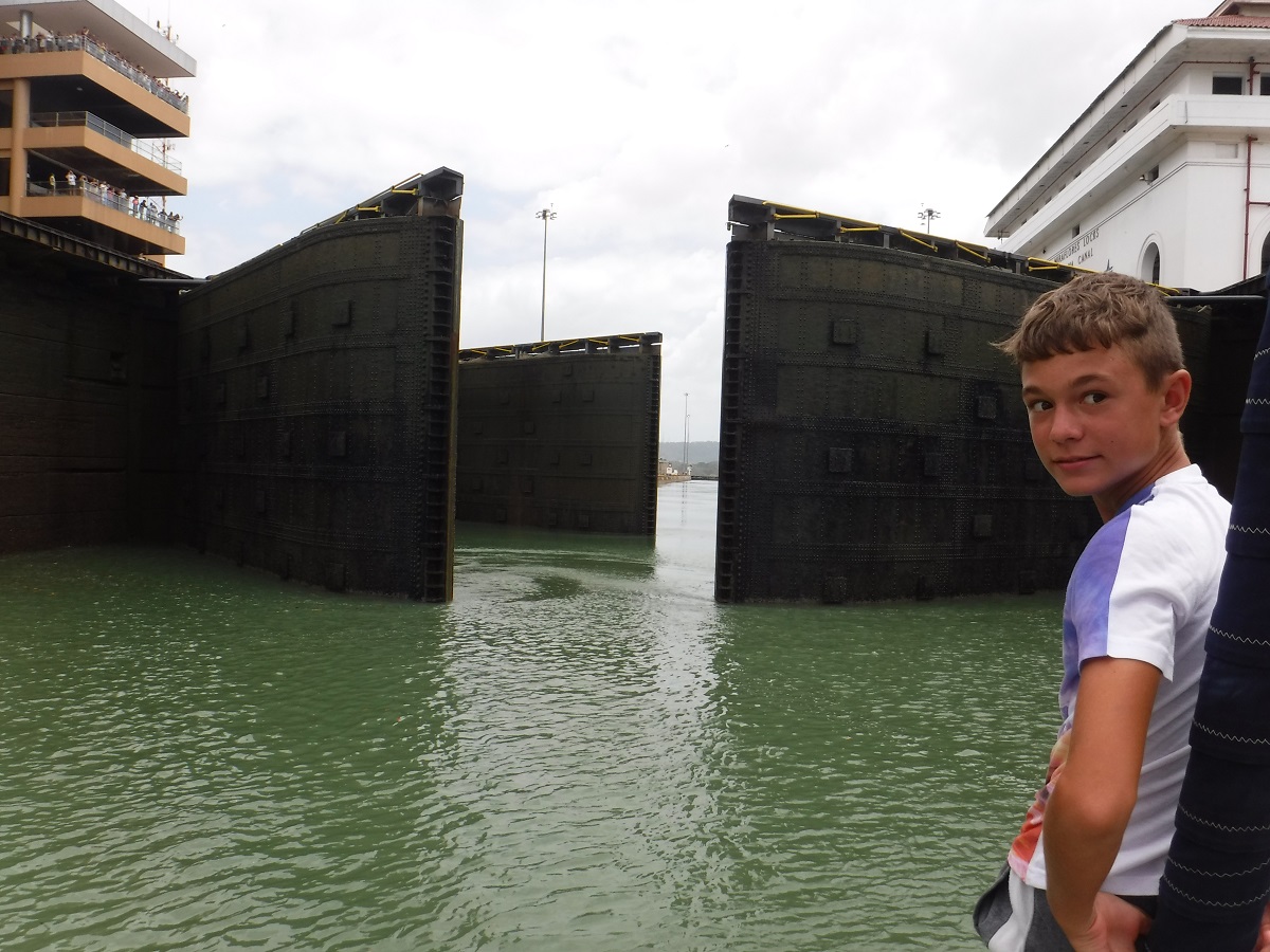
Now we are dropping down to the Pacific. Chamber doors opening. We will be in front of the ship this time:
Canal handliners:
 …all the way in:

Relaxed for a minute waiting for the ship to enter the chamber:
…and here it is:
They pin the ship against the chamber wall with a tug and attach lines from the ship to several small locomotives. The locomotives will keep the ship in the center of the chamber.
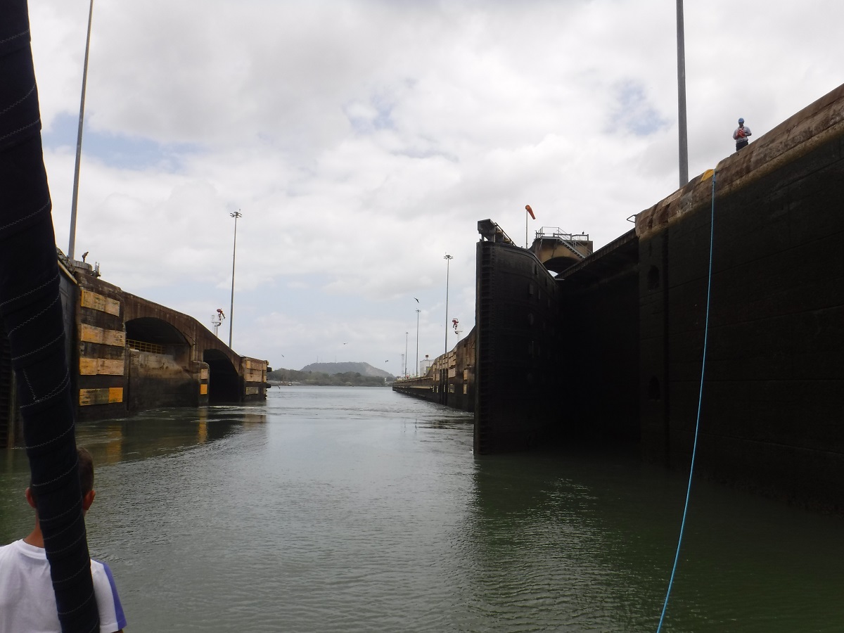
Going down!
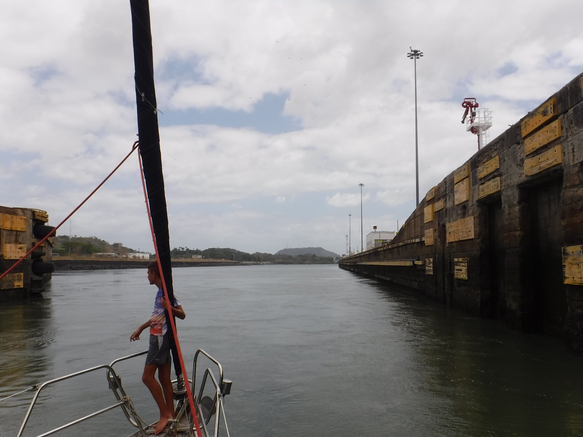
Doors opening:
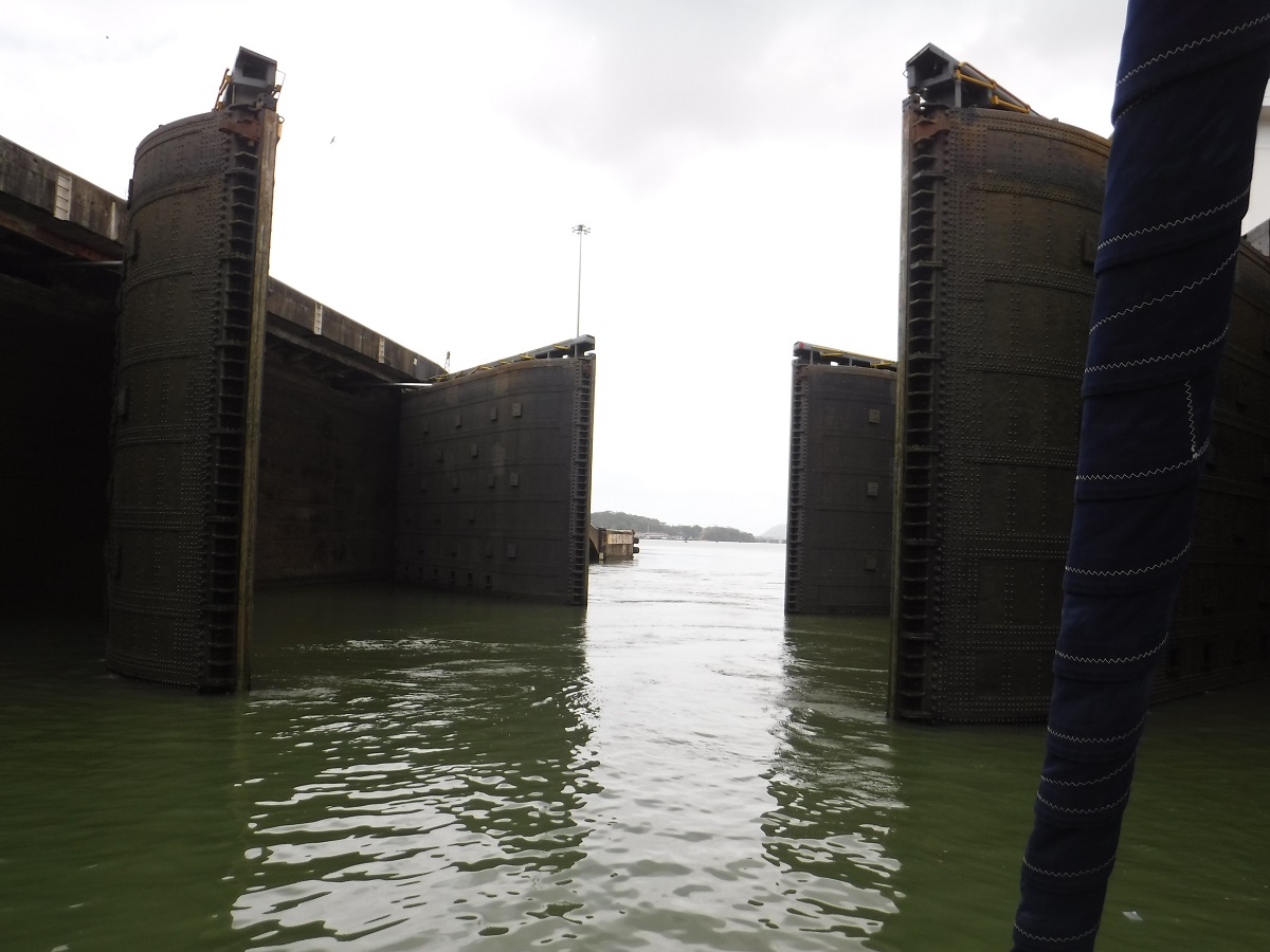
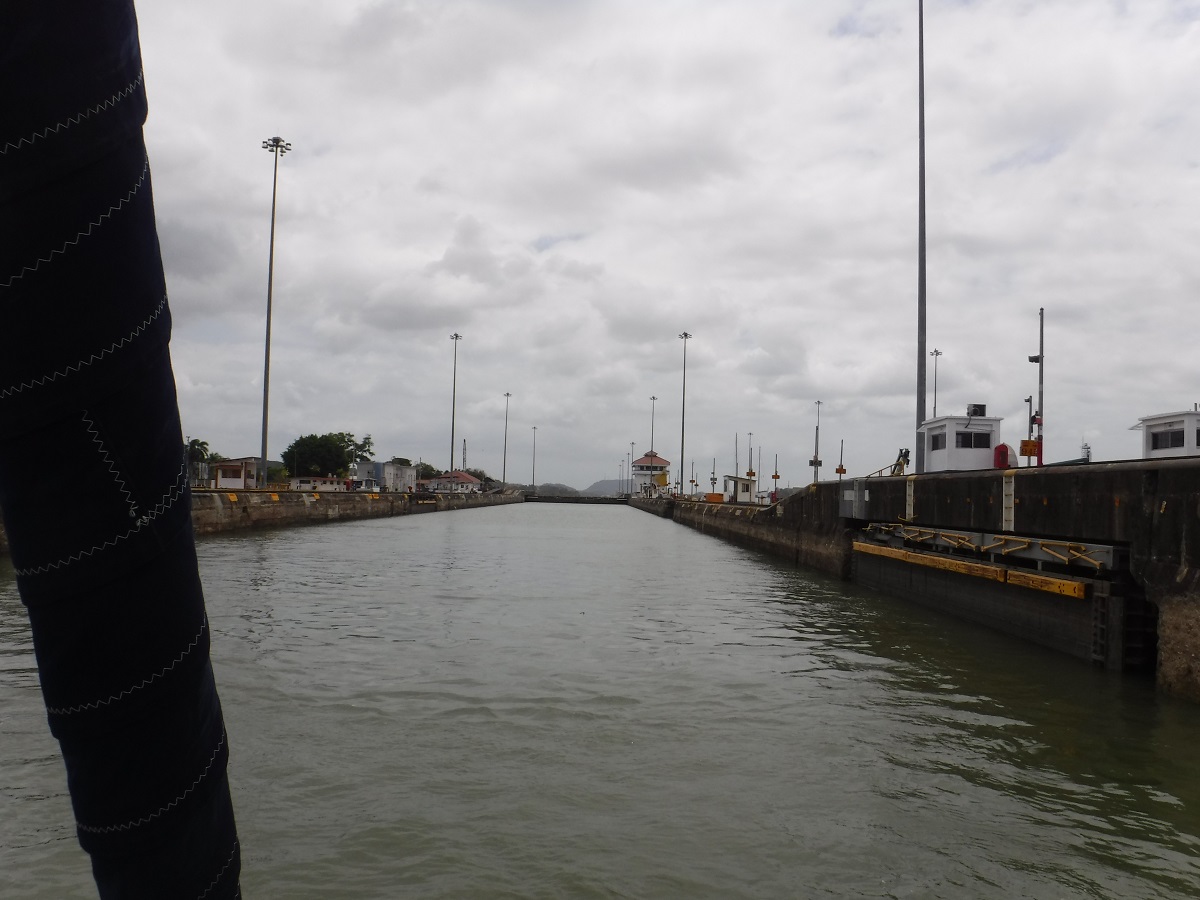
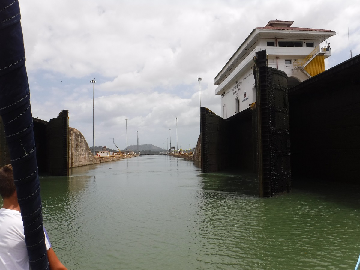
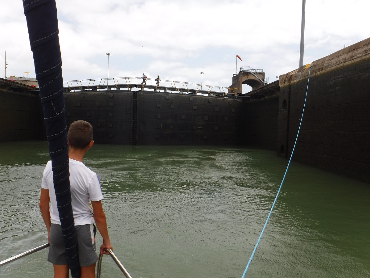
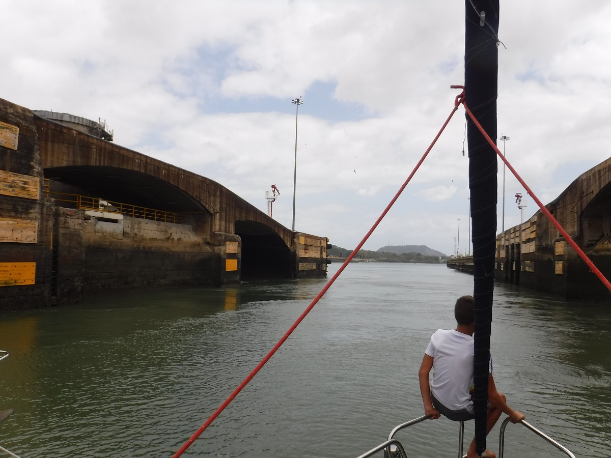
Staying rafted up, we make a quick run to the final lock:
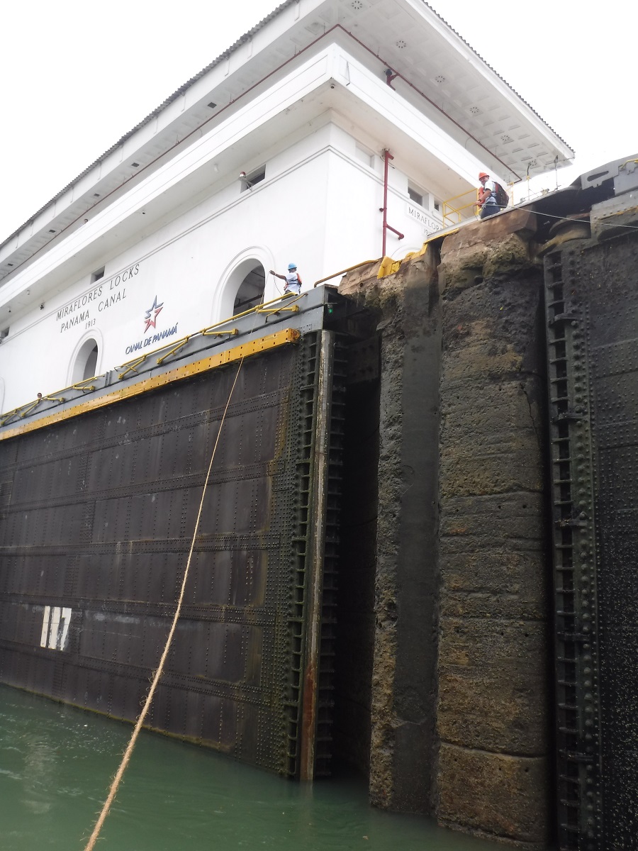
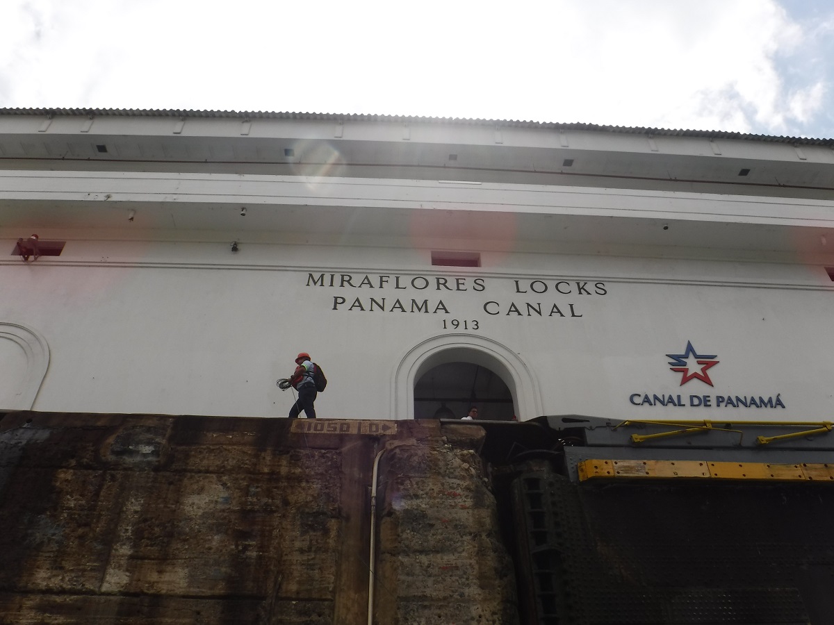
All the way in Miraflores Lock:
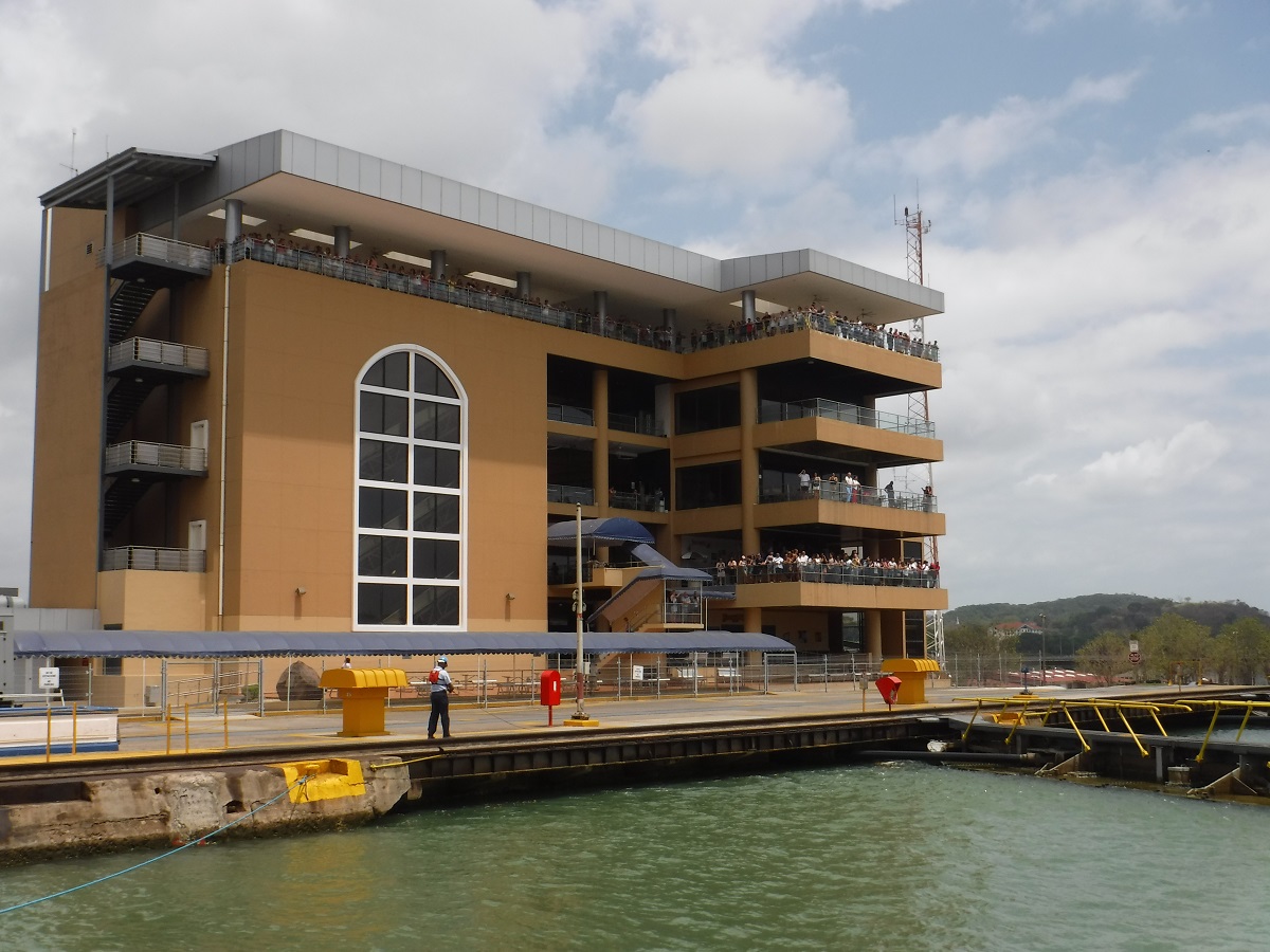
Pamama Canal visitor center:
Tug and ship moving in behind us:
Going down, down, doors opening, one more chamber down to the Pacific:
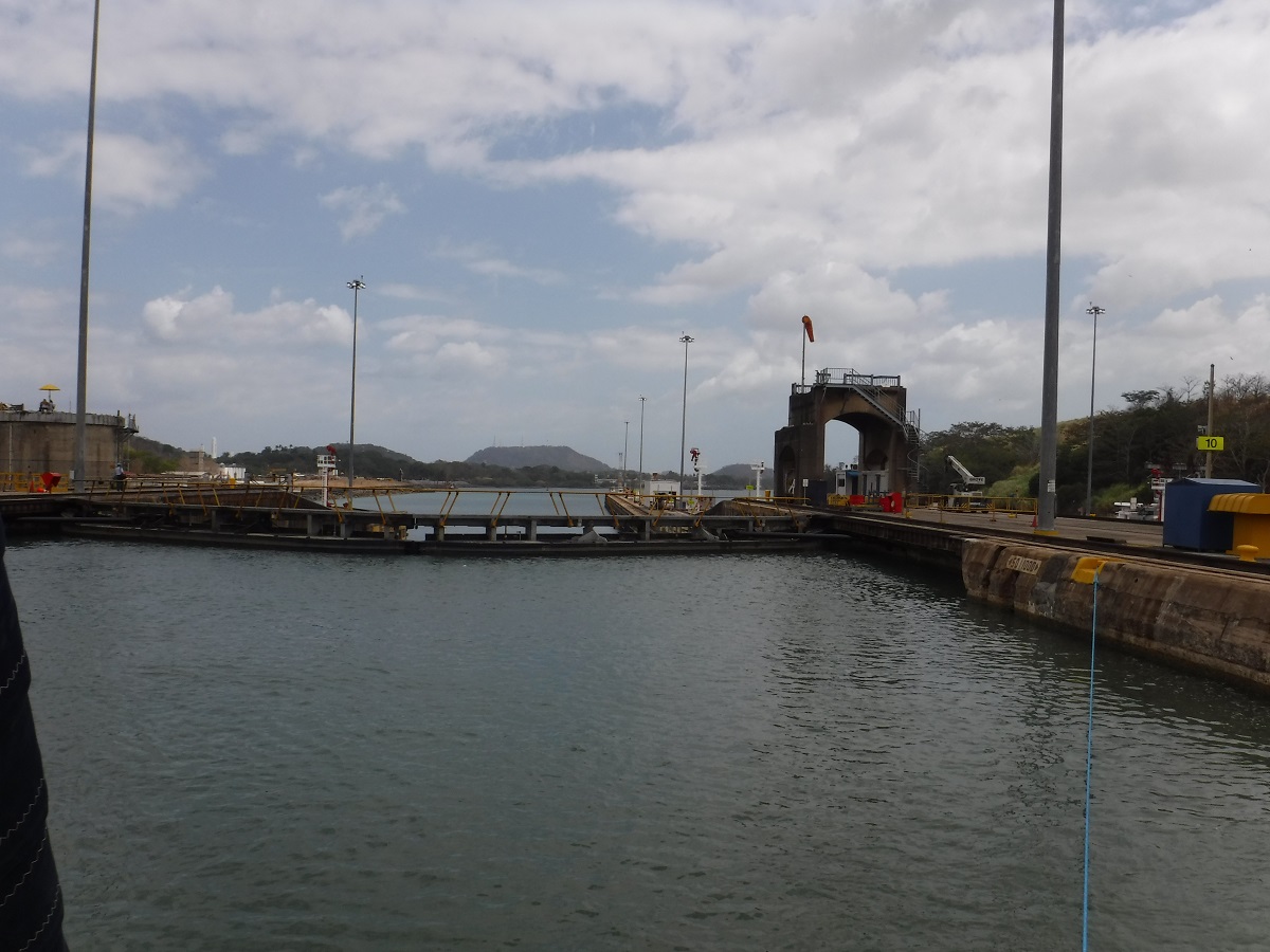
Once last descent:
Into the Pacific Ocean:
The three boats separated again and went our own way.
Bridge of the Americas:
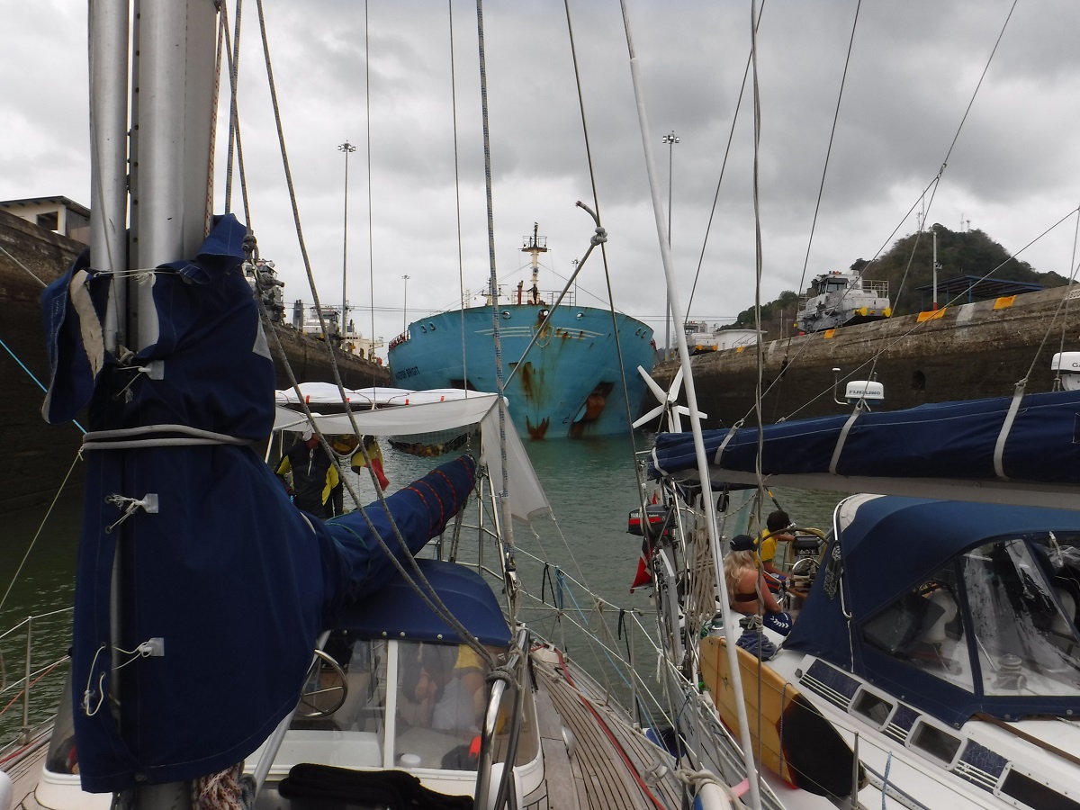
Passed by Maersk Brigit:
Balboa Yacht Club off in distance to port:
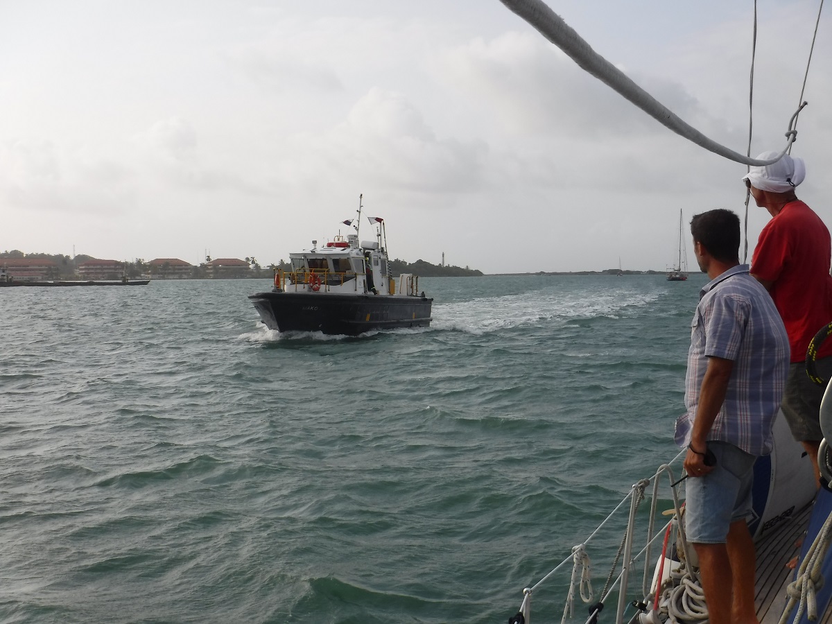
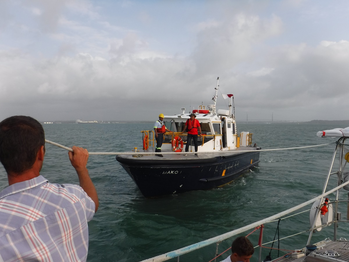
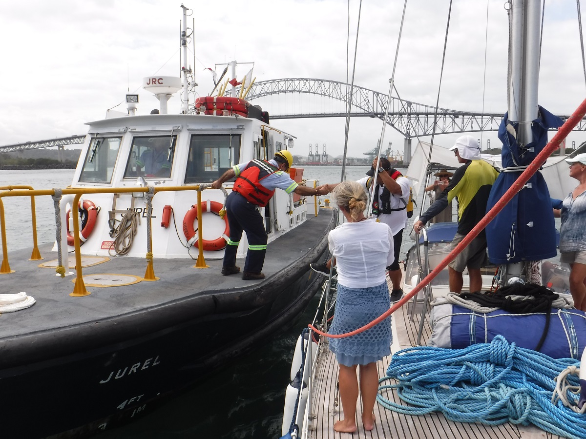
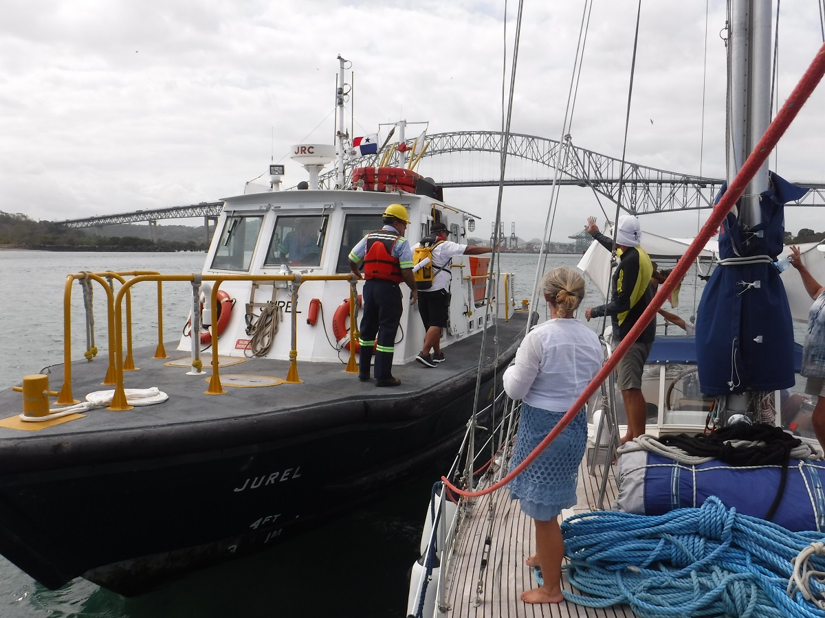
And finally the pilot boat arrived to pick up the canal advisor:
We are excited to make our transit, shouldn’t be too much longer!
We made it to Panama!!!
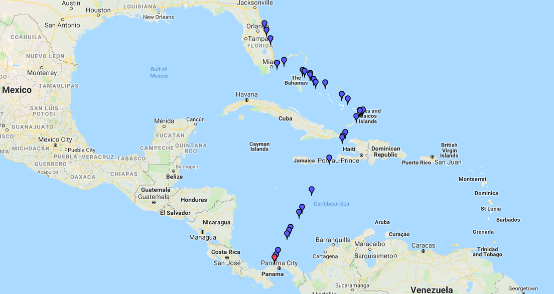
The trip was 868 miles and just over six days, south from Turks and Caicos. Our Track from Florida to Panama:
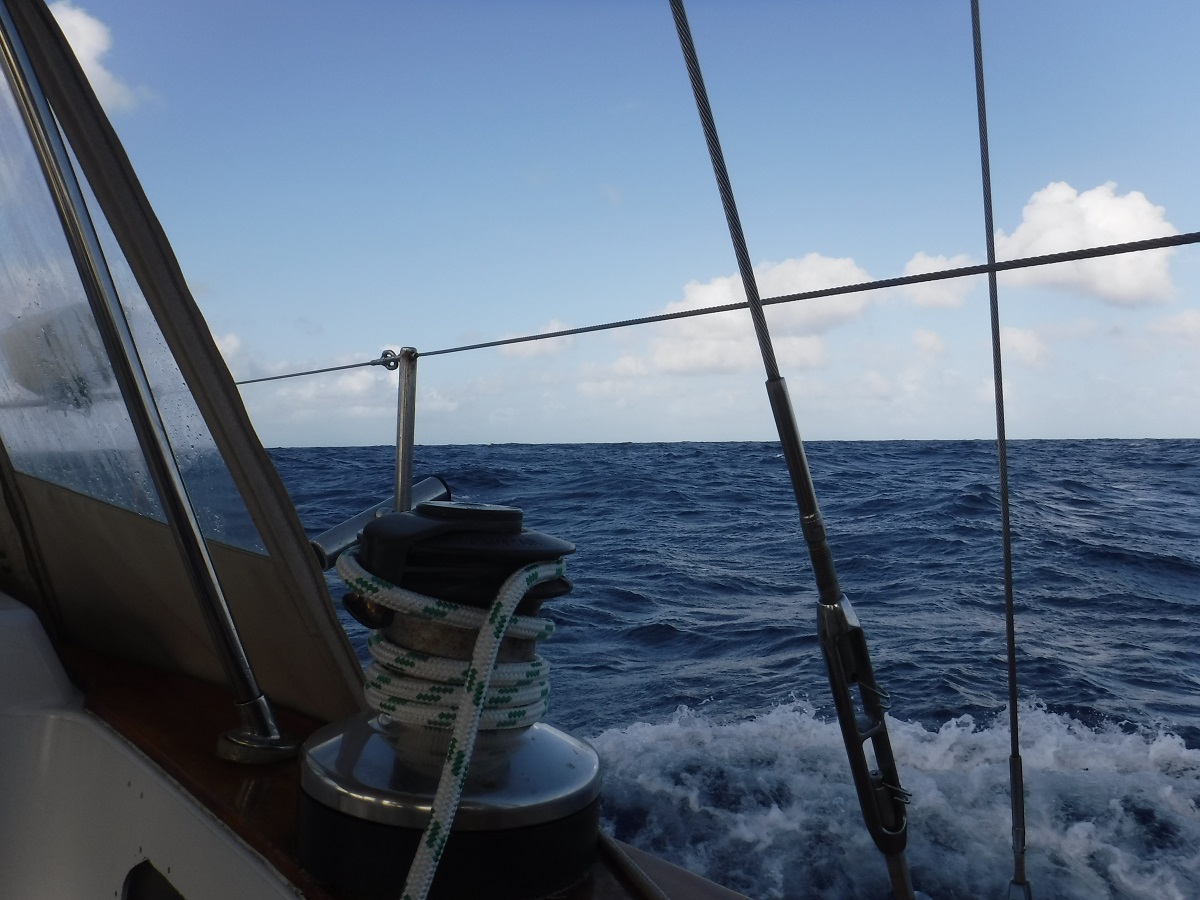
We sat in TCI for a couple of weeks watching the weather forecasts, to make our passage. Conditions in the Caribbean Sea had been a constant 20-35 kts of east to southeast wind with seas 8-11 feet and some 11-14 feet. Those conditions are prohibitive for passage in our boat! We noticed a lull in the weather arriving soon, with improving conditions the closer we got to Panama! Depending on our position, the winds would be between five and 25 kts and the largest seas we would see are five to eight feet. The forecast for our southbound trip was spot-on, with the winds backing to the northeast for the last 2+ days! There was no wind in the windward passage between Cuba and Haiti so we motored; a repeat from my 2017 trip from Columbia to Florida! We sailed primarily with a double reefed mainsail and a bit of genoa. As we got closer to Panama the winds backed from east to northeast and at times north-northeast so we dropped the main and ran with mizzen and genoa, that was fun! The last two and a half days made up for the first four! We not only had fun sailing/surfing Dea Latis downwind but I was able to recover from four days of miserable seasickness! LOL!
Click on the pictures for full screen.
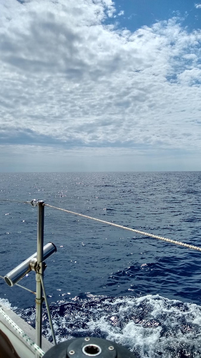
The trip was mostly this (water):
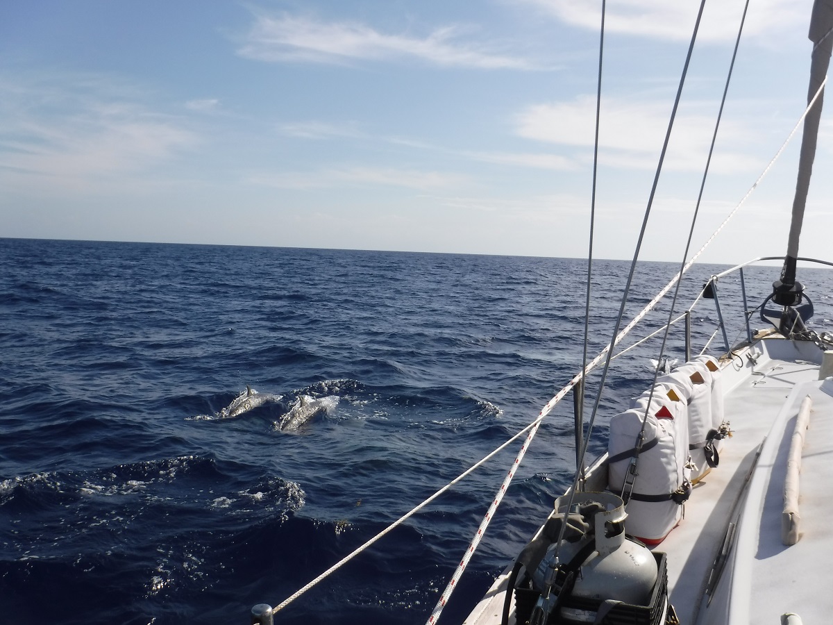
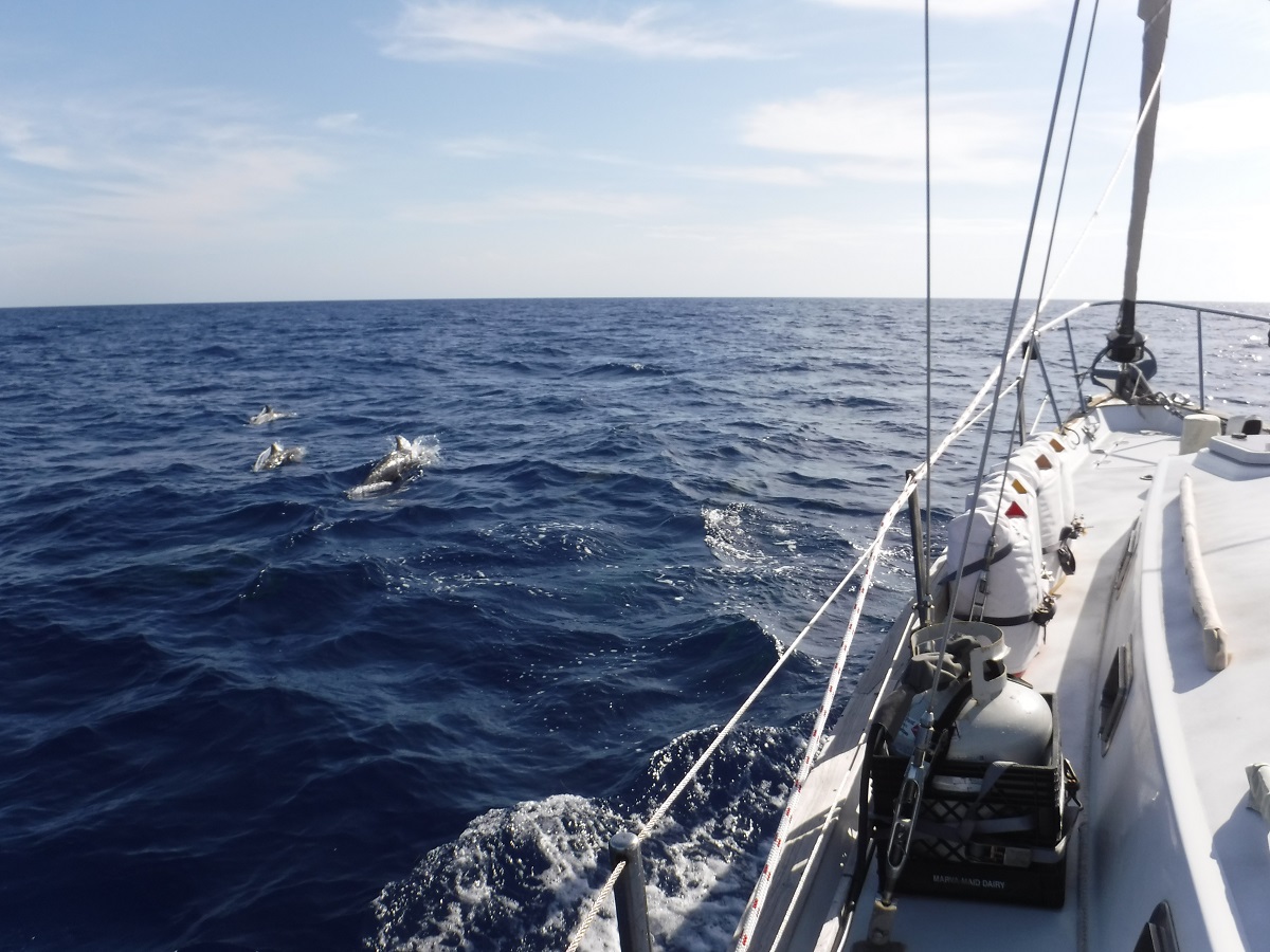
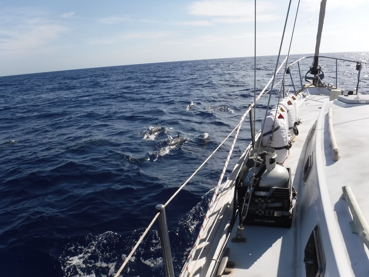
While motoring south through the windward passage we were surrounded by a huge pod of dolphins, probably 40-50! Awesome! They played around our boat for about 30 minutes then disappeared.
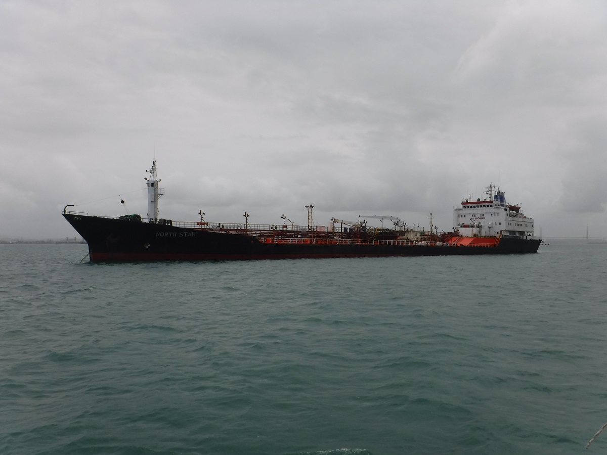
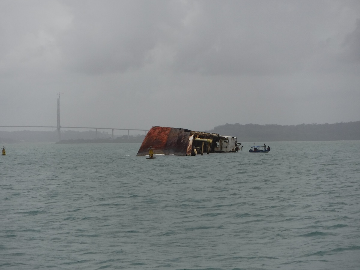
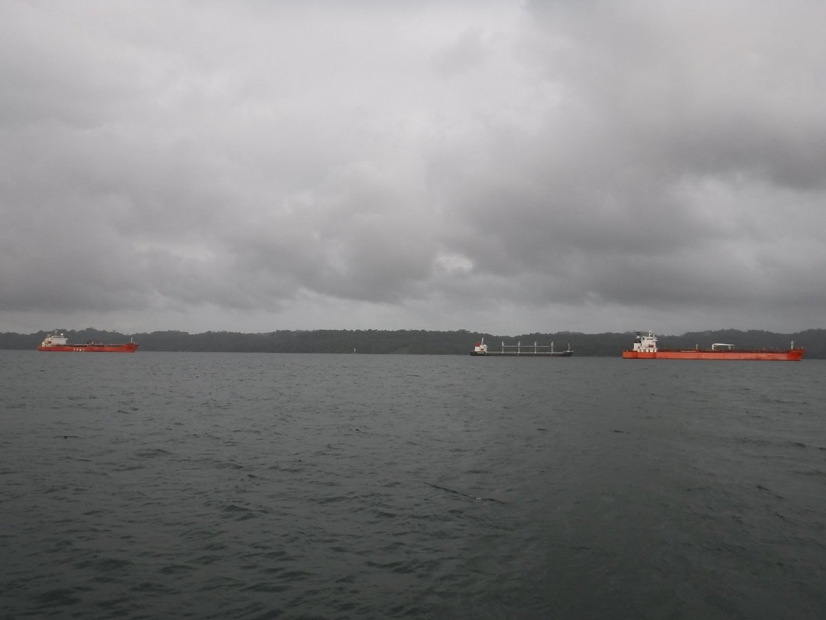
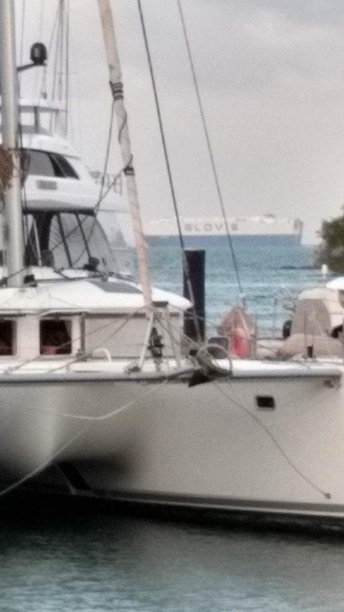
There was traffic crossing the Caribbean Sea but not too much. Once we got closer to the canal zone the commercial traffic began to increase. Each triangle is a ship:
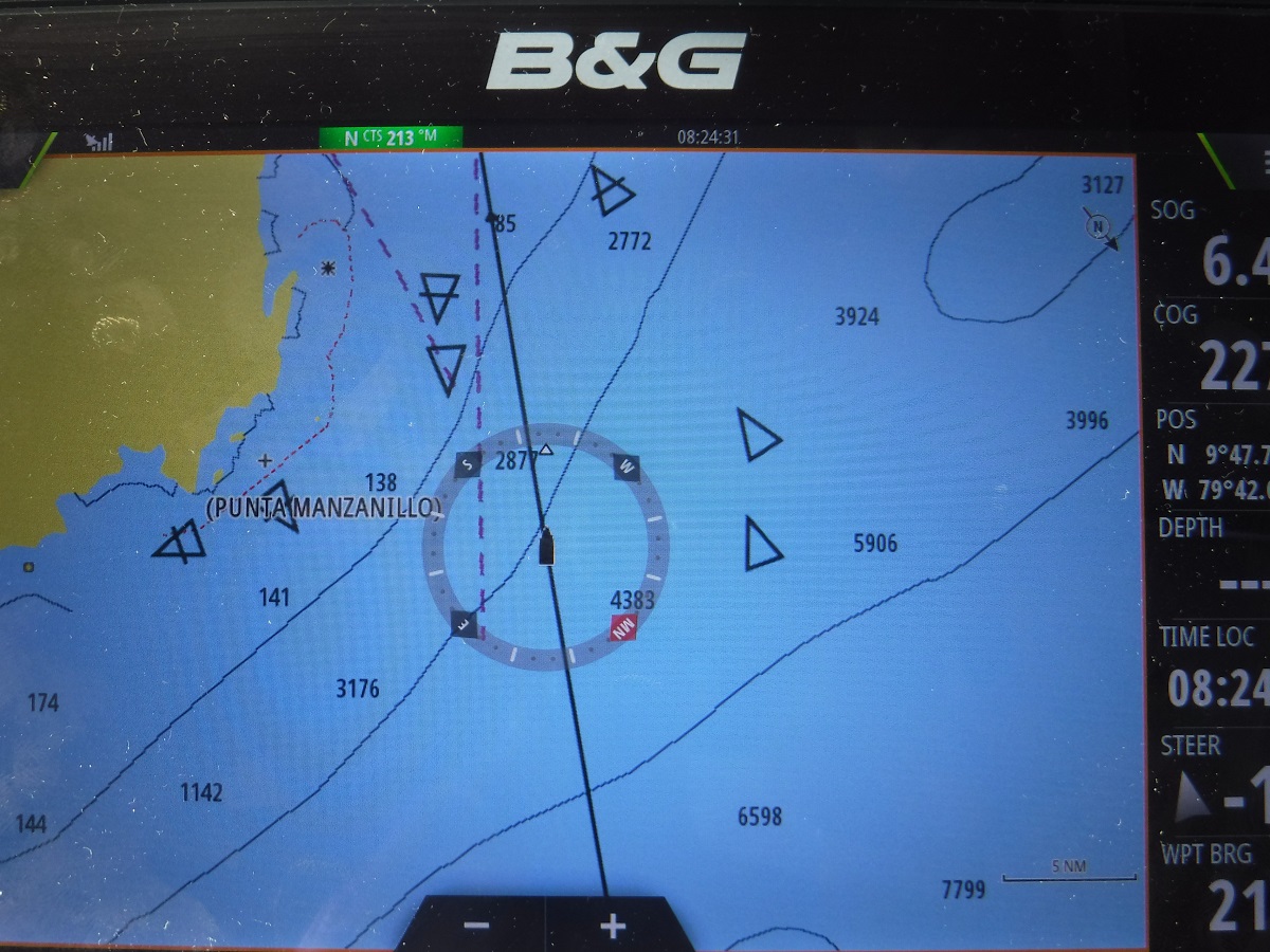
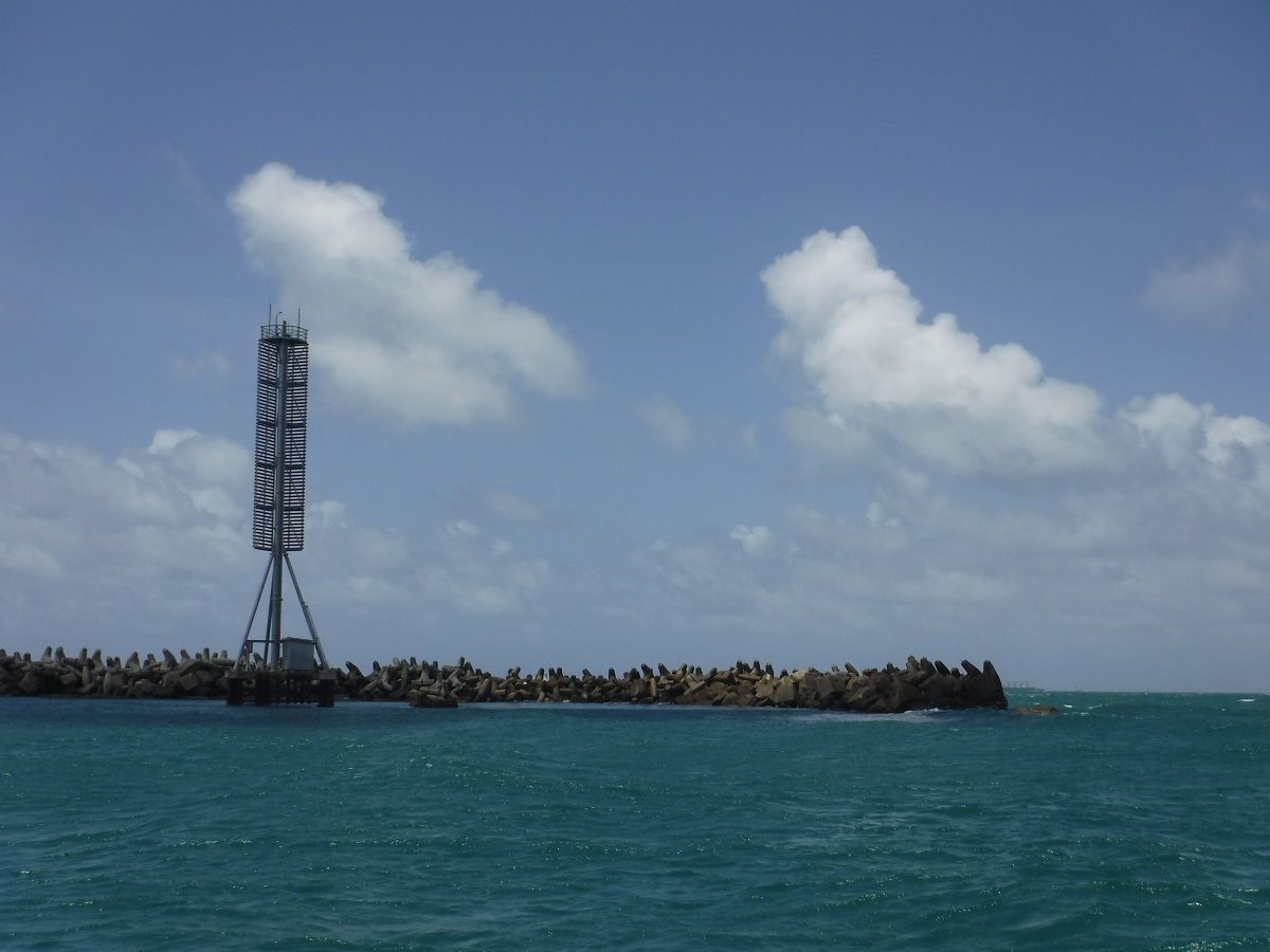
Outside the Caribbean entrance to the canal zone is a huge breakwater, the ships on the horizon are anchored just outside:

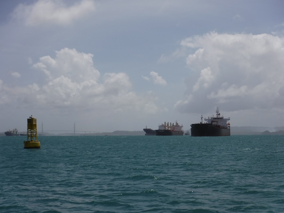
The triangles multiplied! As you would guess, there are hundreds of ships here, fortunately most of those triangles are anchored:
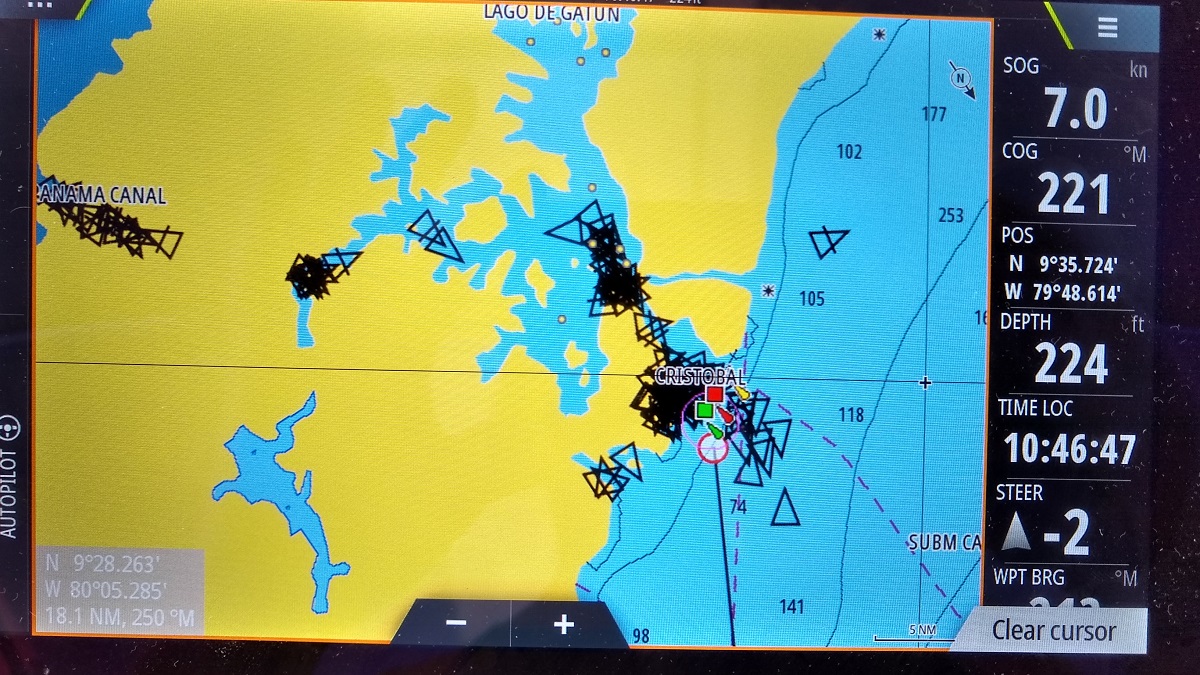
We radioed Cristobal Control Station for permission to enter the breakwater but couldn’t reach them until we were about three miles out. “Dea Latis, sailboat, three miles from breakwater, requesting entrance, destination Shelter Bay Marina”. We receive a dismissive reply “…proceed…”.
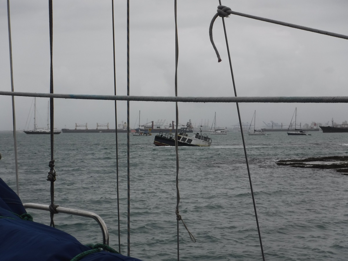
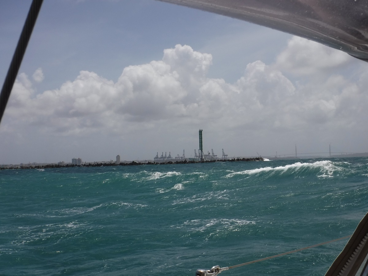
East breakwater, entrance to the canal zone, winds and seas are up:
Cristobal Control Station controls the ship traffic in/out of the Caribbean side of the canal zone. Sooo it would have been nice to get a heads-up on this:
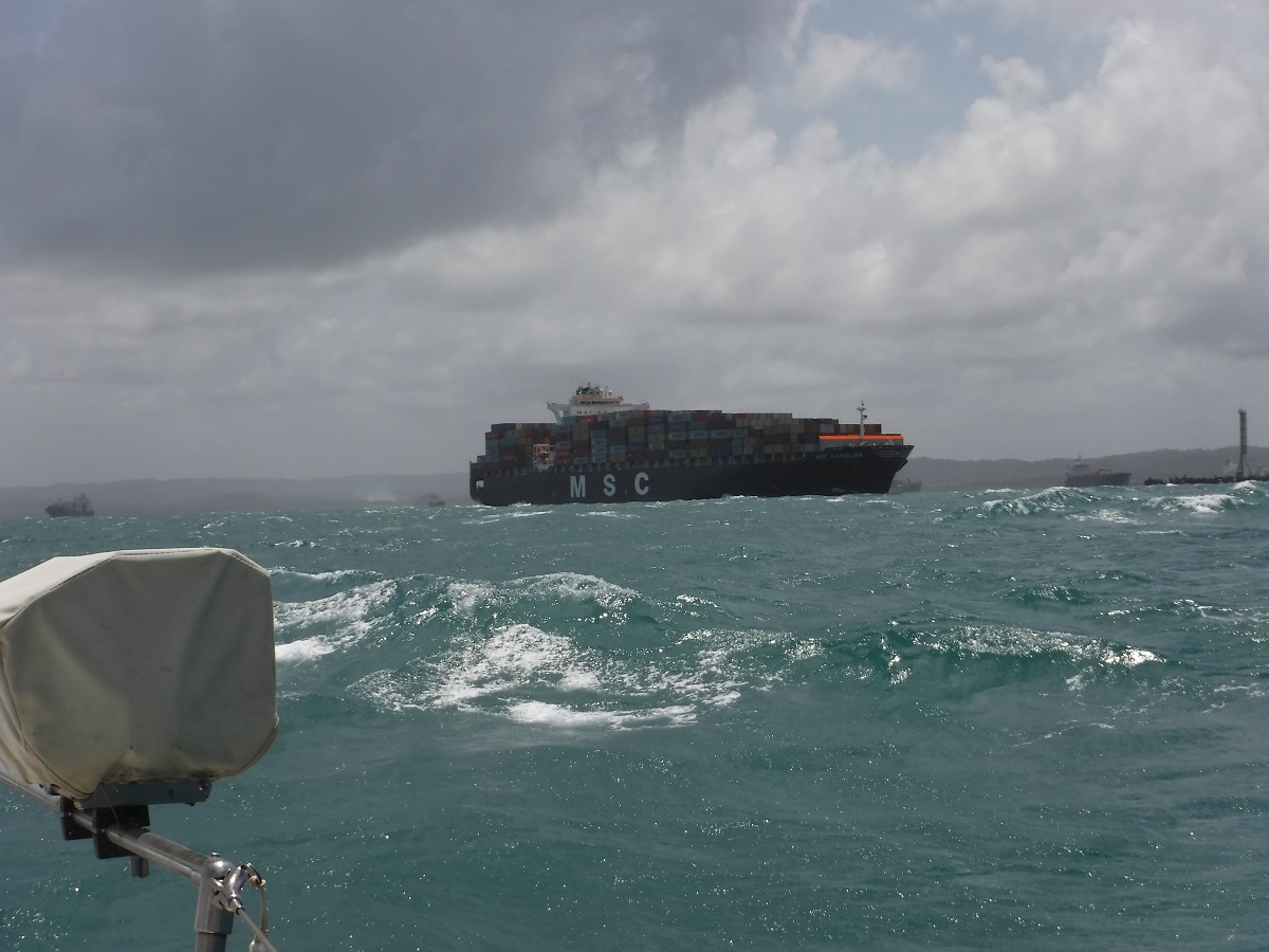
…a 900 foot container ship heading north, exiting the breakwater.

Fortunately earlier Tanya noticed one of the triangles moving toward us, but it would have been nice to hear that from the traffic controlling agency. Once the ship passed, we cut across the entrance to find shelter behind the west breakwater. Tanya put up our yellow Q flag, west breakwater in the distance:
![]()

Instant calm behind the breakwater:
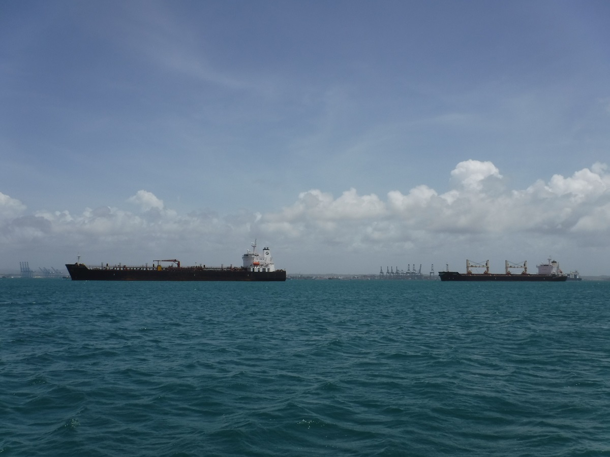
Inside the breakwater is of course a huge commercial anchorage:
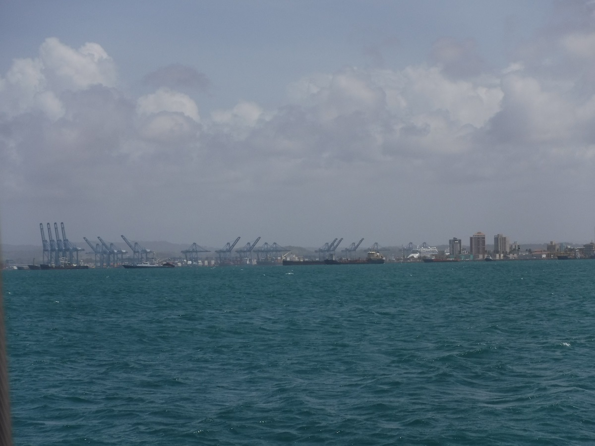
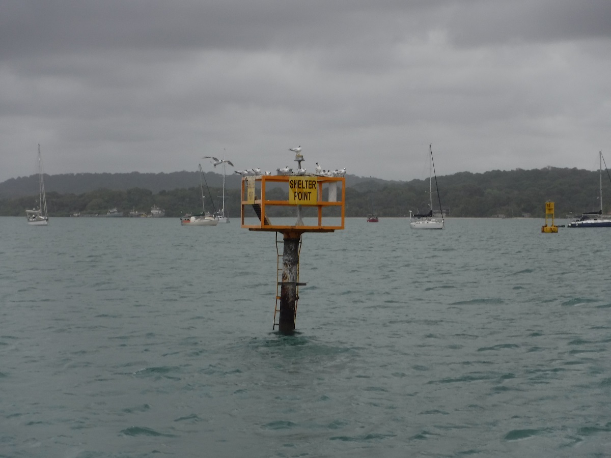
We headed west between the breakwater and the anchorage, following an occasional green channel marker, to the entrance of Shelter Bay Marina. The marina answered the radio promptly and we received our docking assignment. We were greeted by Emilio and Eddie who quickly guided us in, helped secure dock lines, and gave us a quick introduction to the marina. Very nice!
We cleaned up, checked in with the office and completed immigration and port captain formalities. Immigration and port captain offices are both on site but the port captain seems to keep irregular hours. We were about ready to take a taxi into the city to the main port office when the local official showed up…We are legal now!
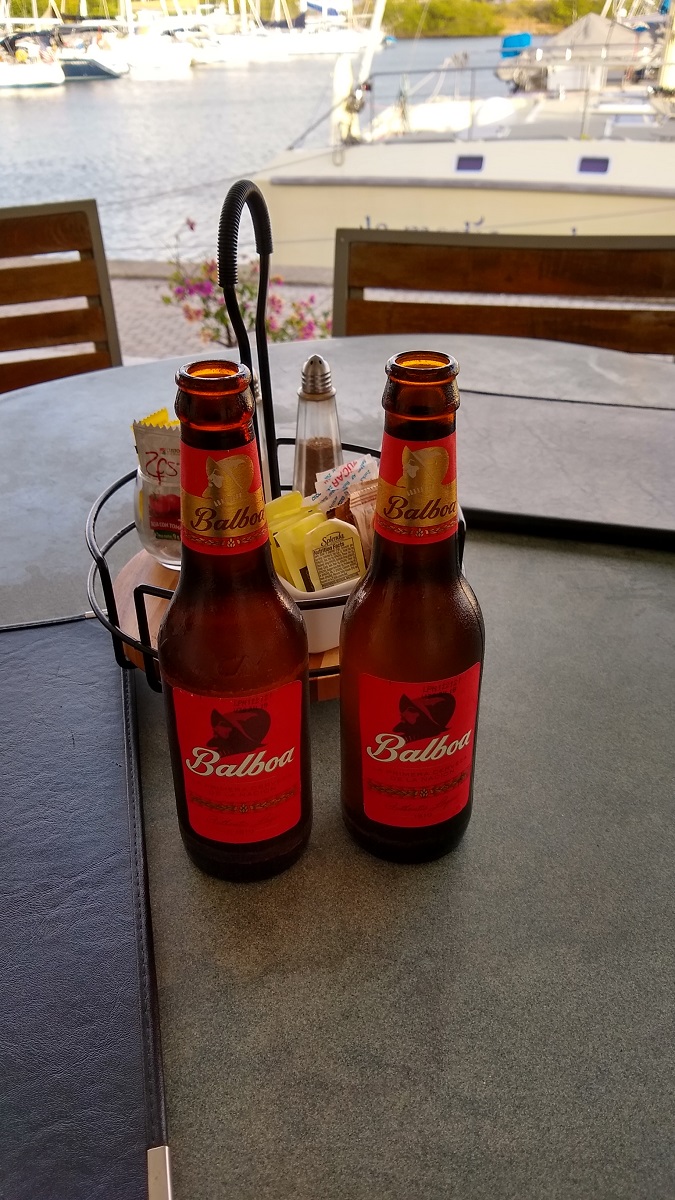
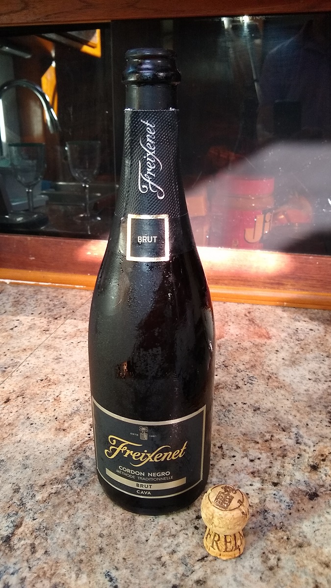
We had a wonderful dinner on the patio of the marina restaurant, enjoyed a few of the local beers, and popped the top of a bottle of bubbly to celebrate our trip!
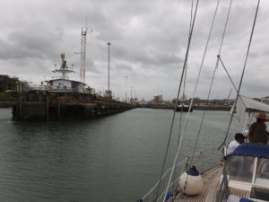
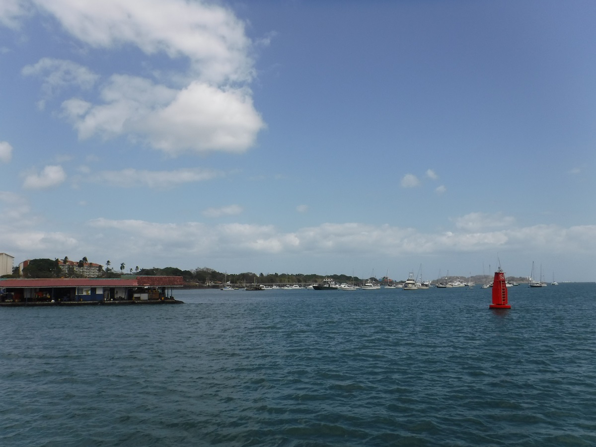
Canal traffic in the distance:
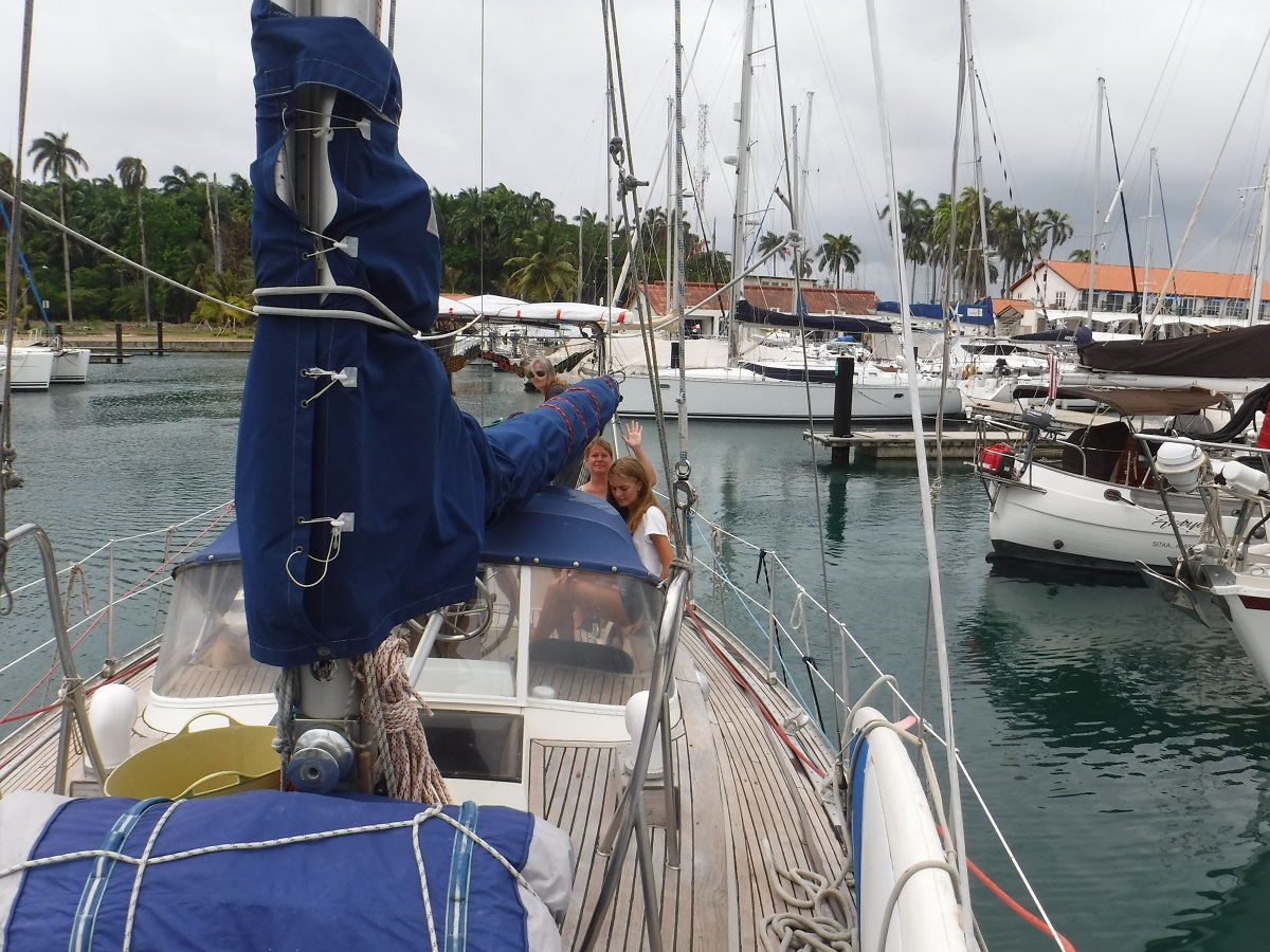
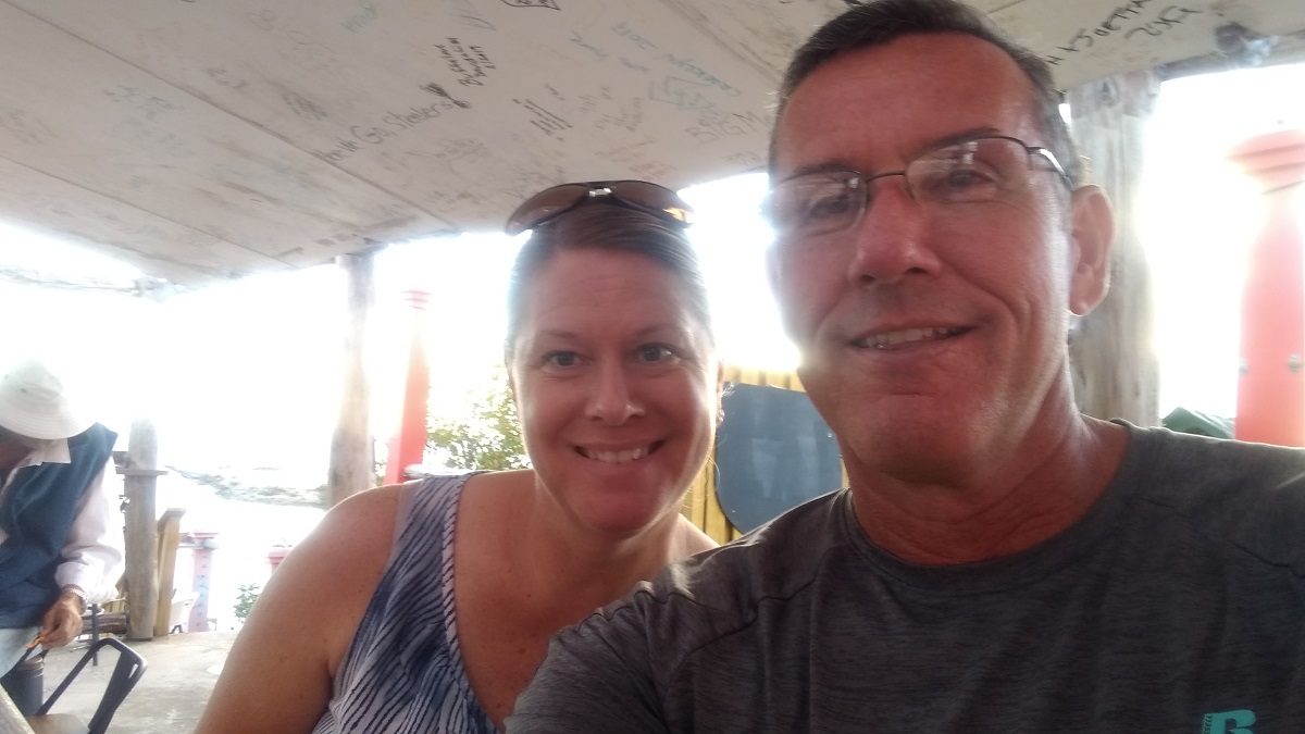
We want to experience a canal transit before ours so we are going through the canal on another boat first. We met a nice couple on our dock and volunteered as line handlers for their transit. They feed us and pay our way back to the marina. Good deal! We are leaving on their boat tomorrow and should be back Monday. Once we get back we will start the formalities for our transit. We are in no real rush to get through the canal. Our trip to Panama was rough, it took several days to put the boat back in order, and for us to recover! We will relax here for a while. Shelter Bay Marina is built on the former Fort Sherman, which was a US Army base until 1999. We want to look around what is left of the base, see the area and relax by the pool for a bit.
Our next trip is 3800 miles…
It appears we may have a weather window to head south!
We have been here in Turks and Caicos for the past couple of weeks, waiting for the winds to calm down. The forecast for the next week is very favorable so we are checking out tomorrow and leaving Thursday.
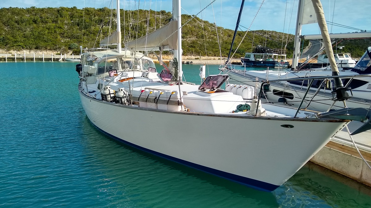
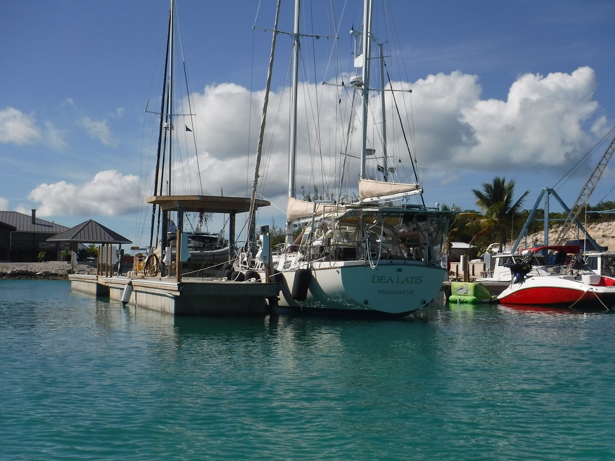
While here we have greatly enjoyed the hospitality of South Side Marina. Dea Latis, sitting stationary for the past couple of weeks:
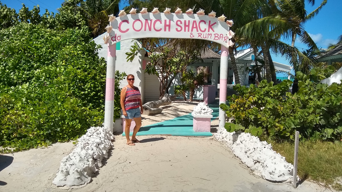
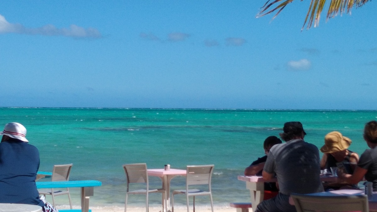
We also rented a car and toured the island, visiting some of the tourist sites. Da Conch Shack, very good food, right on the beach:
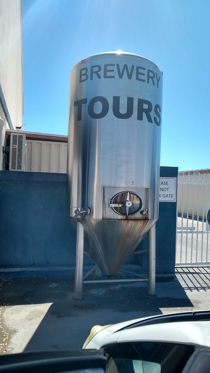
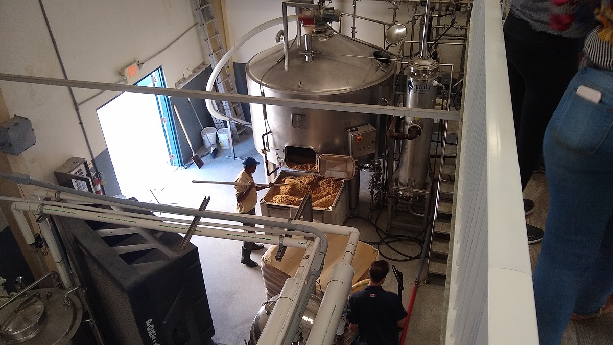
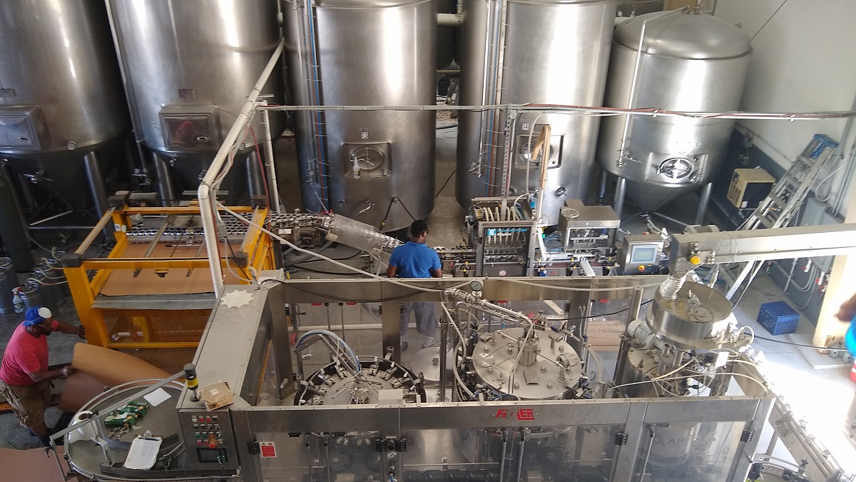
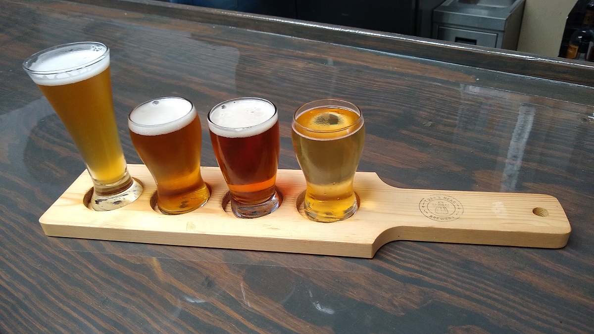
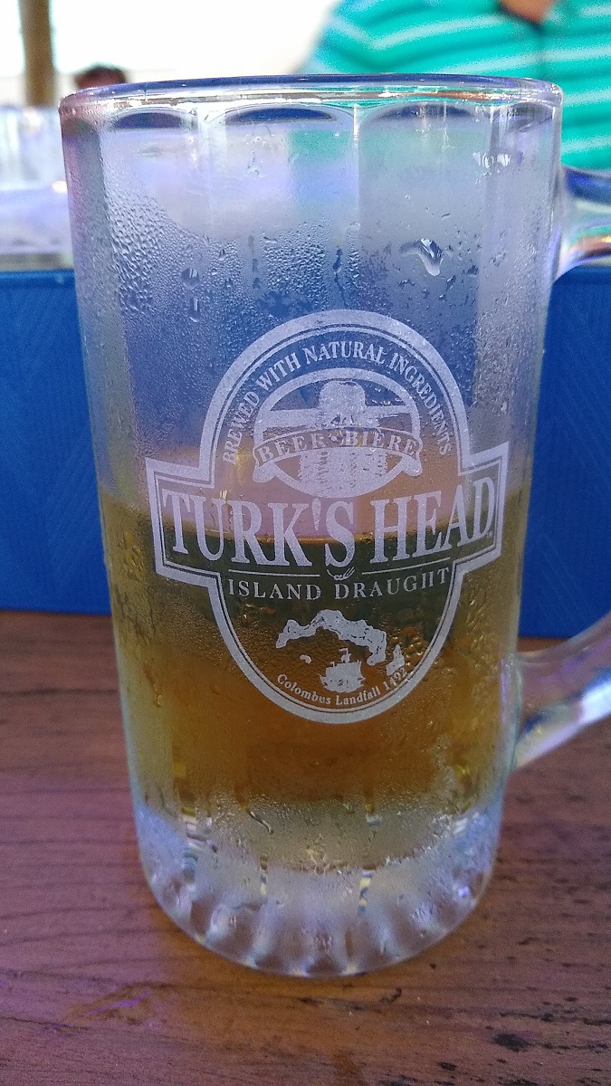
The local micro brew, Turks Head, is excellent so we toured the brewery:
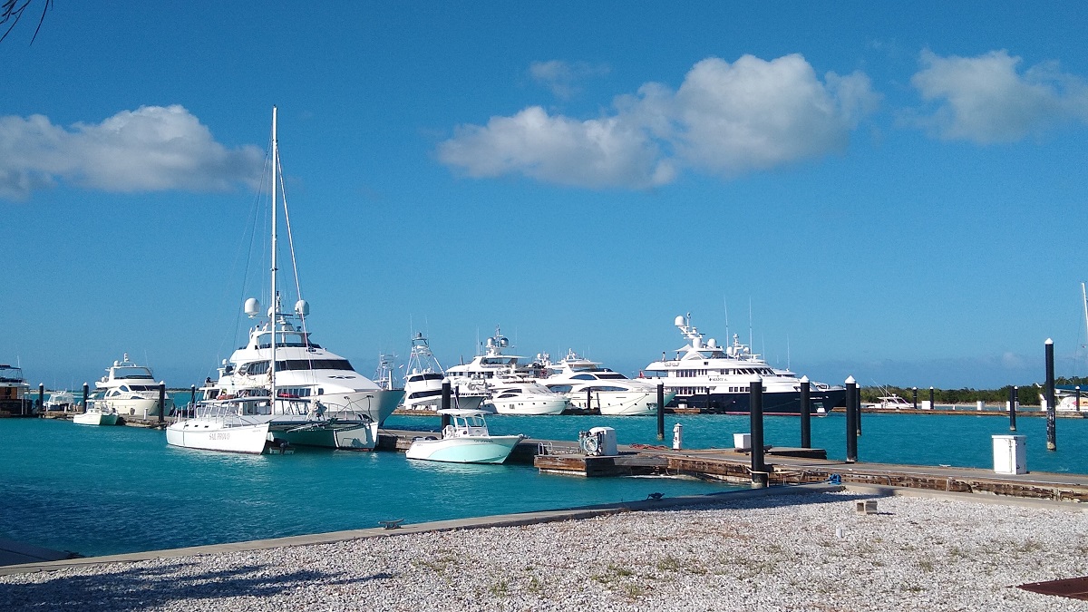
We drove to the northest tip of the island to see the canal homes and mega yacht marina. The canal homes are mostly obscured by fences and manicured vegetation.
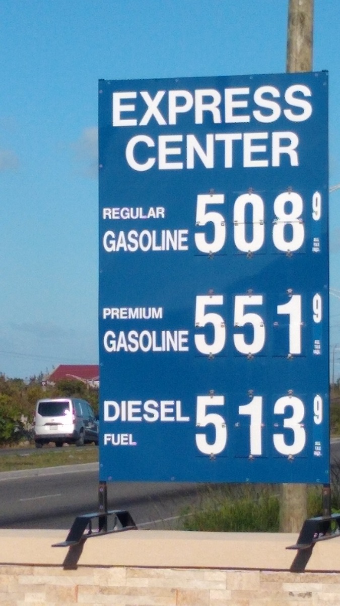
It is pretty expensive here…so we turned the car in and headed back to the marina bar to watch the sunset.
We are departing in a couple of days and should be in Panama about a week later.
We made it to Turks and Caicos!
As mentioned in our last post, we anchored at Highbourne Cay in the Exuma Island chain. From Highbourne we spent a night at Norman’s Cay, which is exploding with development, then down near Farmer’s Cay to wait on a weather window to transit the Bahamas to TCI.
Very little wind Miami to Bimini Bahamas…
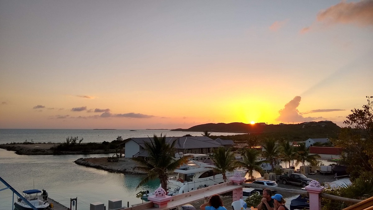
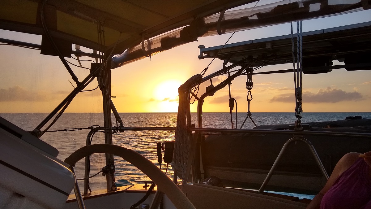
Sunset Highbourne Cay:
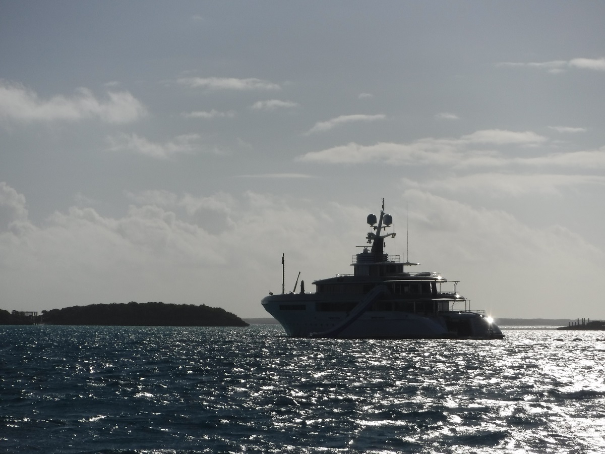
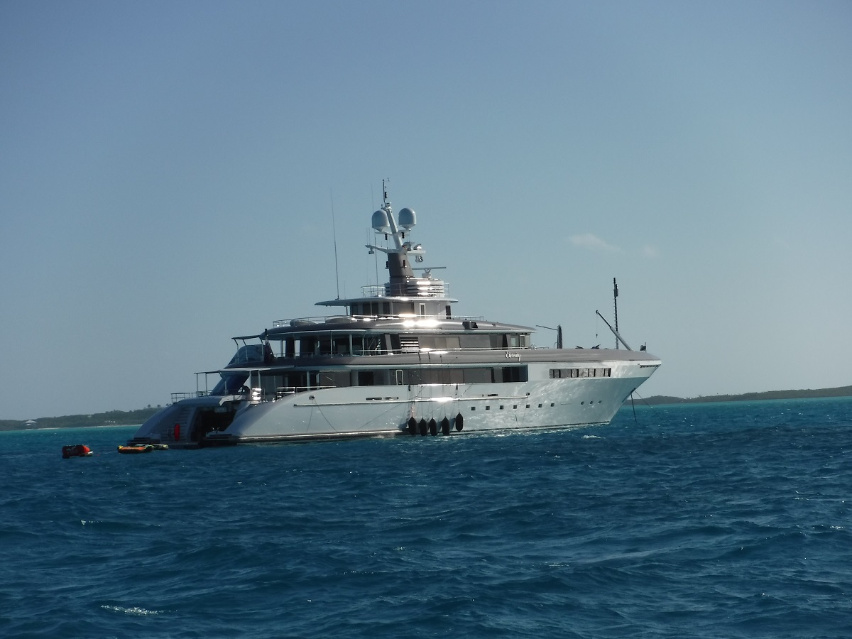
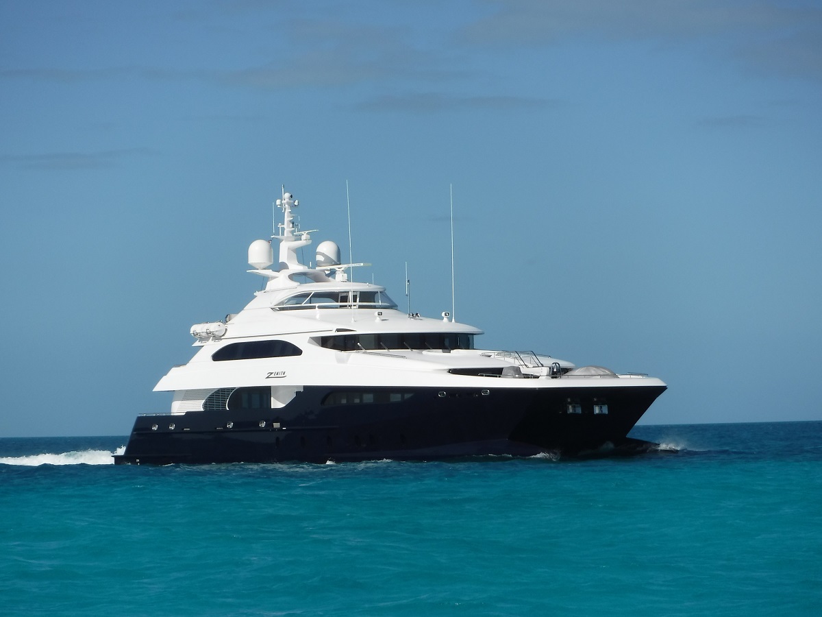
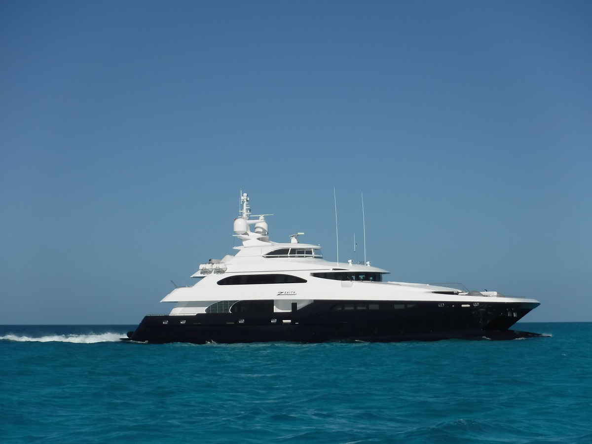
Beautiful mega yachts enjoying the Bahamas:
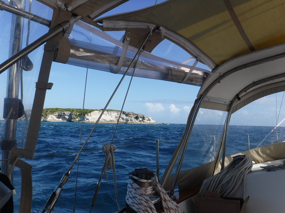
After a day or two at Little Farmer’s Cay we had a window to head east. Passing through Galliot Cut to the Exuma Sound:
Once through the cut, BAM, 15 kts of wind on the beam!!!!! We sailed for about the next 12 hours on a beam reach east past Cat Island. The winds began to clock to the southwest (yes, ahead of a cold front) which allowed us to head southeast almost directly toward TCI (Turks Caicos Islands). Somewhere between Rum Cay and Crooked Acklins the cold front rolled over us (in the middle of the night) like a freight train. The front was no surprise, we watched it and knew it was coming, we were using it for favorable wind direction to head east. We had 35 kts of wind, driving rain, lightning thunder etc. All this weather came from behind so we just buttoned up our cockpit enclosure and surfed Dea Latis down the waves. The worst of the weather really only lasted for about 30 minutes, it was really a non event, but it did rain for about the next eight hours. By the time we reached the Plana Cays the wind died, we motored the rest of the way to TCI.
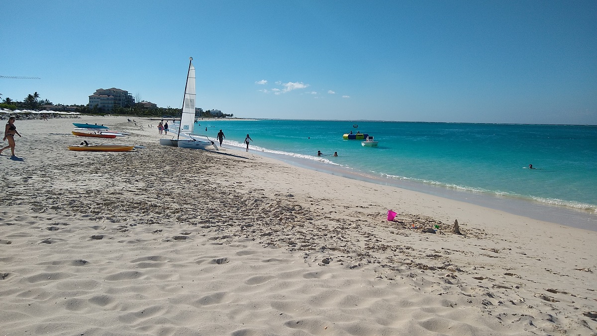
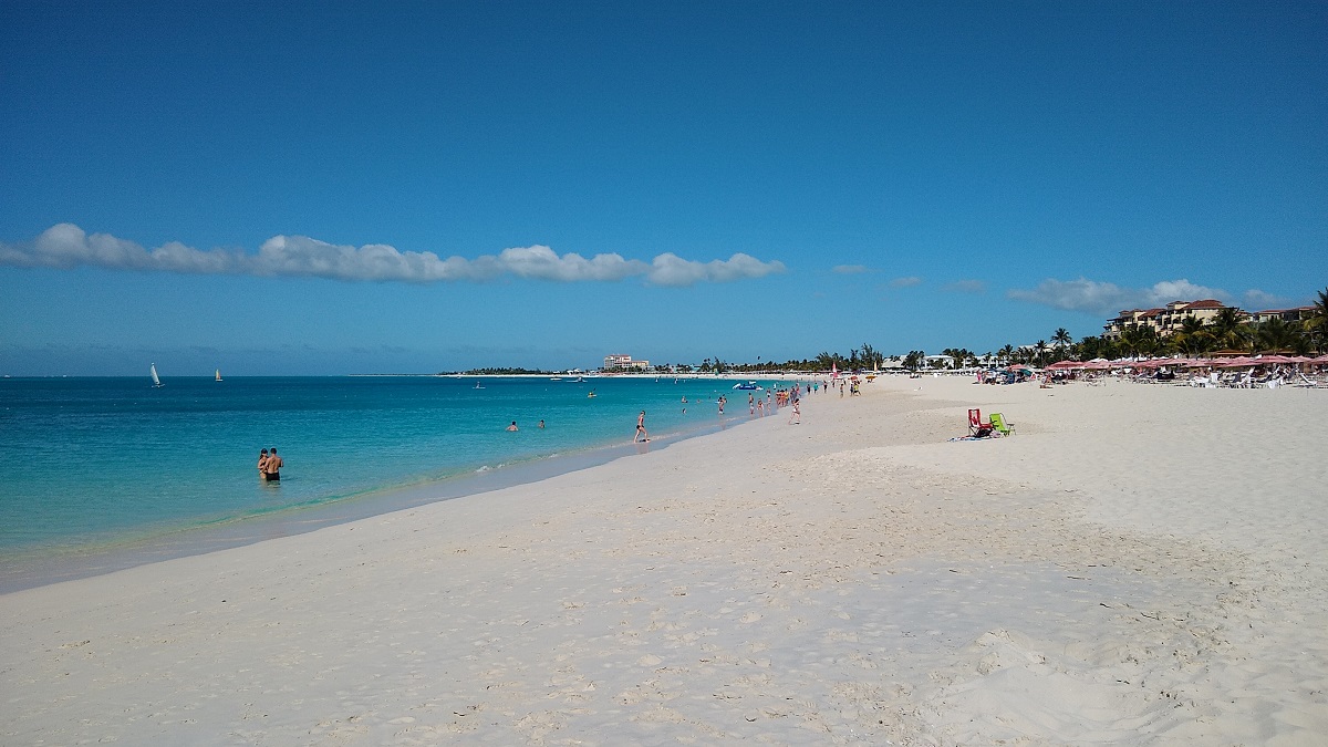
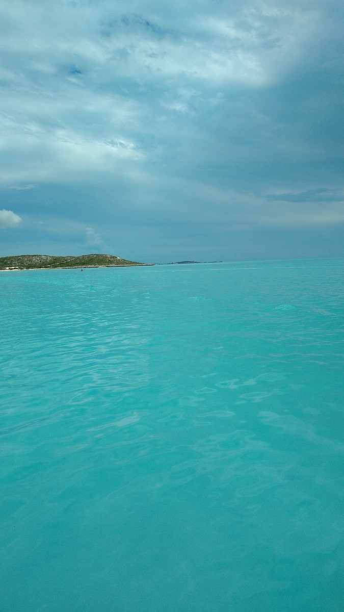
South side of Providenciales TCI, the water is beautiful here:
We attempted to enter South Side Marina but the tide was on the way out, we ran aground about a boat length from the entrance. We backed off and anchored out for the night. Dea Latis waaaaay out at anchor, just to the right of center in the picture:
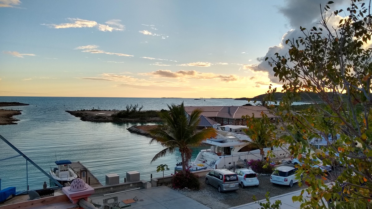
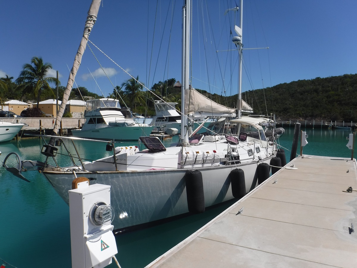
We made it into the marina at day break the next morning, got fuel and now we are tied up on a new floating concrete dock:
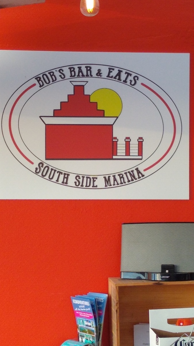
Bob Pratt, the owner, now has a great bar and restaurant on the hill over looking the marina. The food is excellent and reasonably priced! The local beer is excellent too!
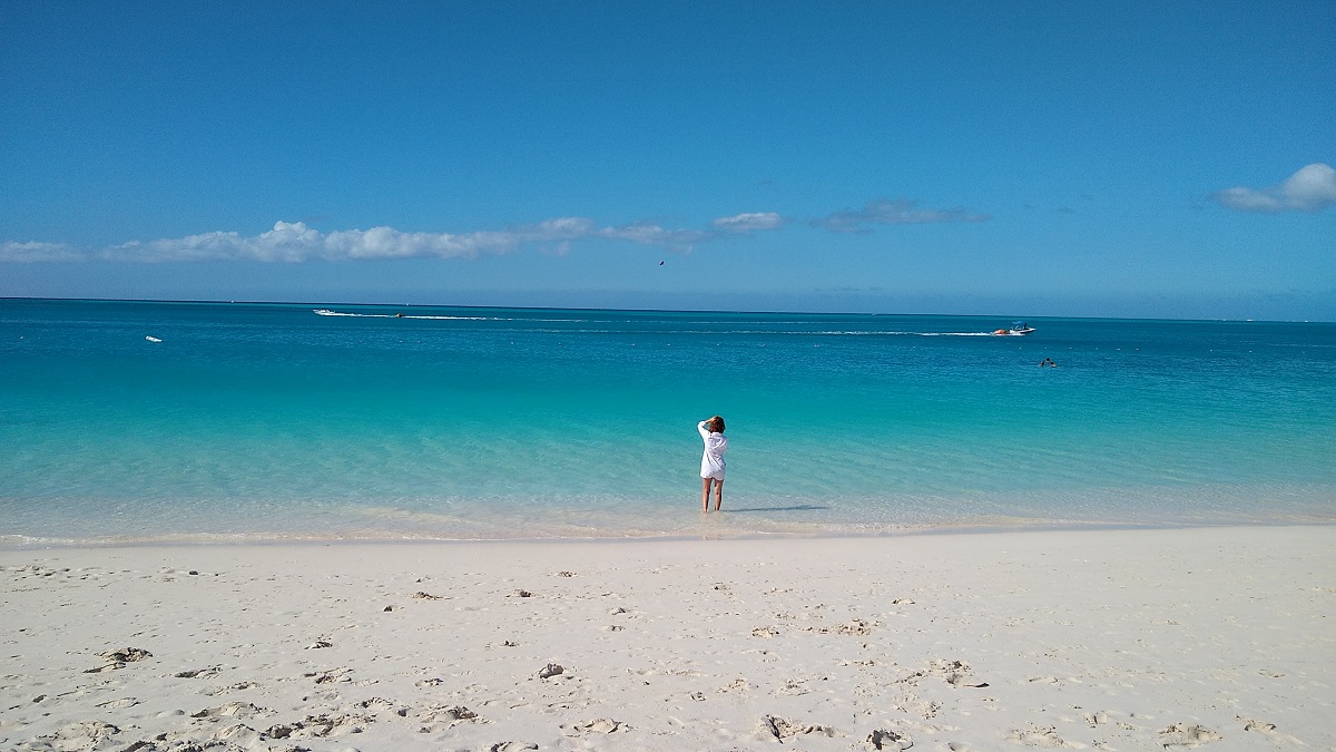
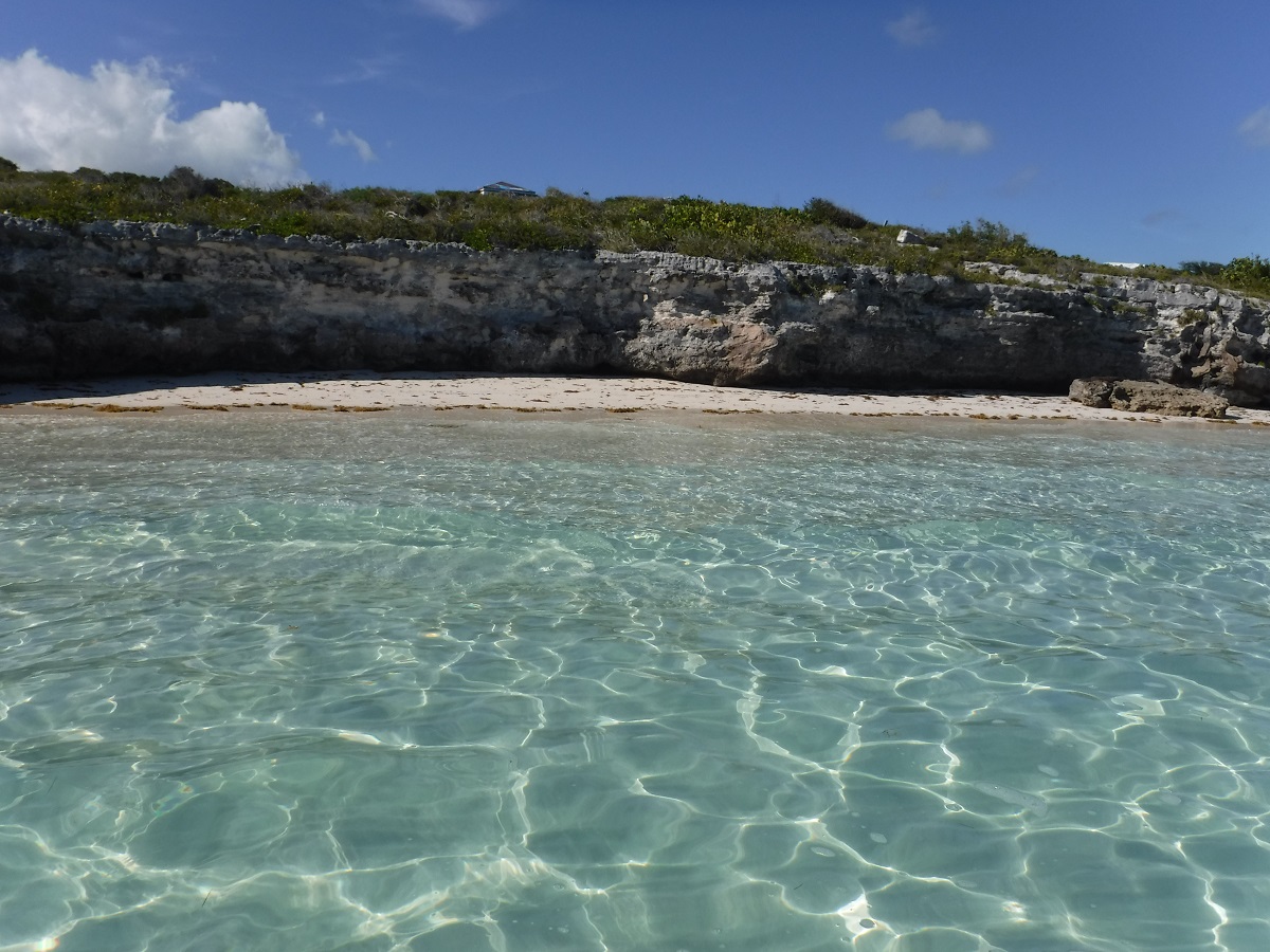
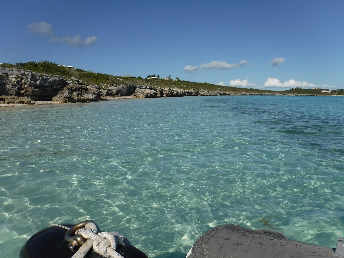
We love to socialize but we also love to find that special place where we can just escape and enjoy ourselves. We took the dinghy, explored the area and found our private beach. The water is 82 degrees:
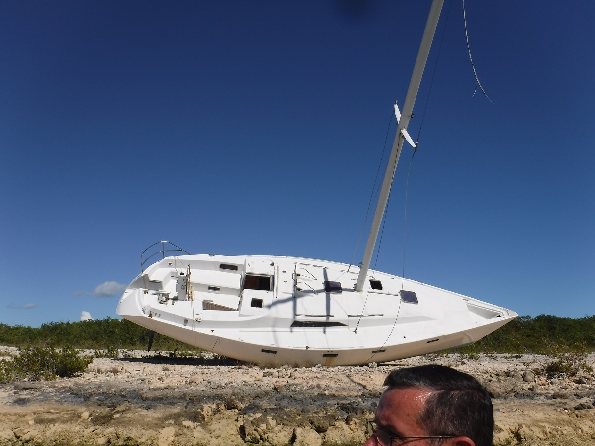
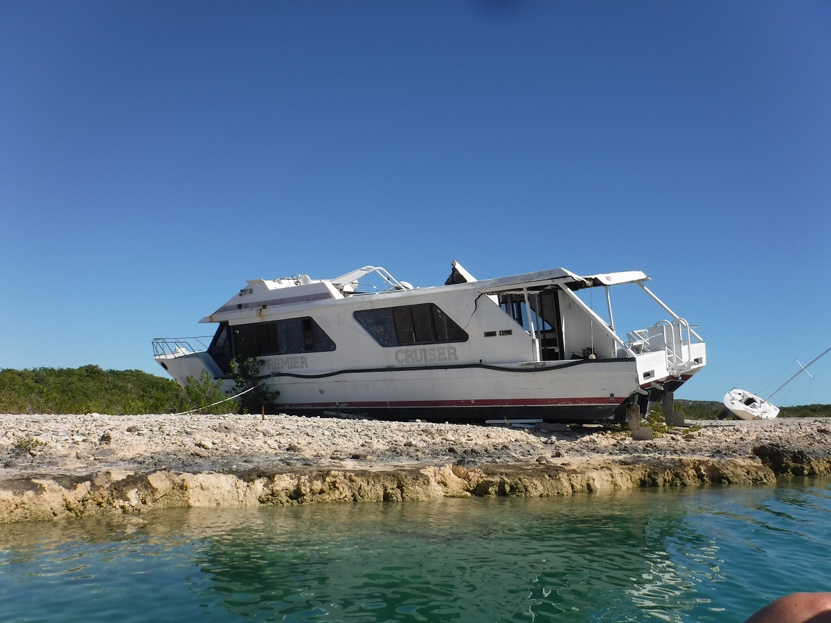
…from the last hurricane season:
We are heading to Panama, so we will be here until a proper weather window opens.
More to follow!